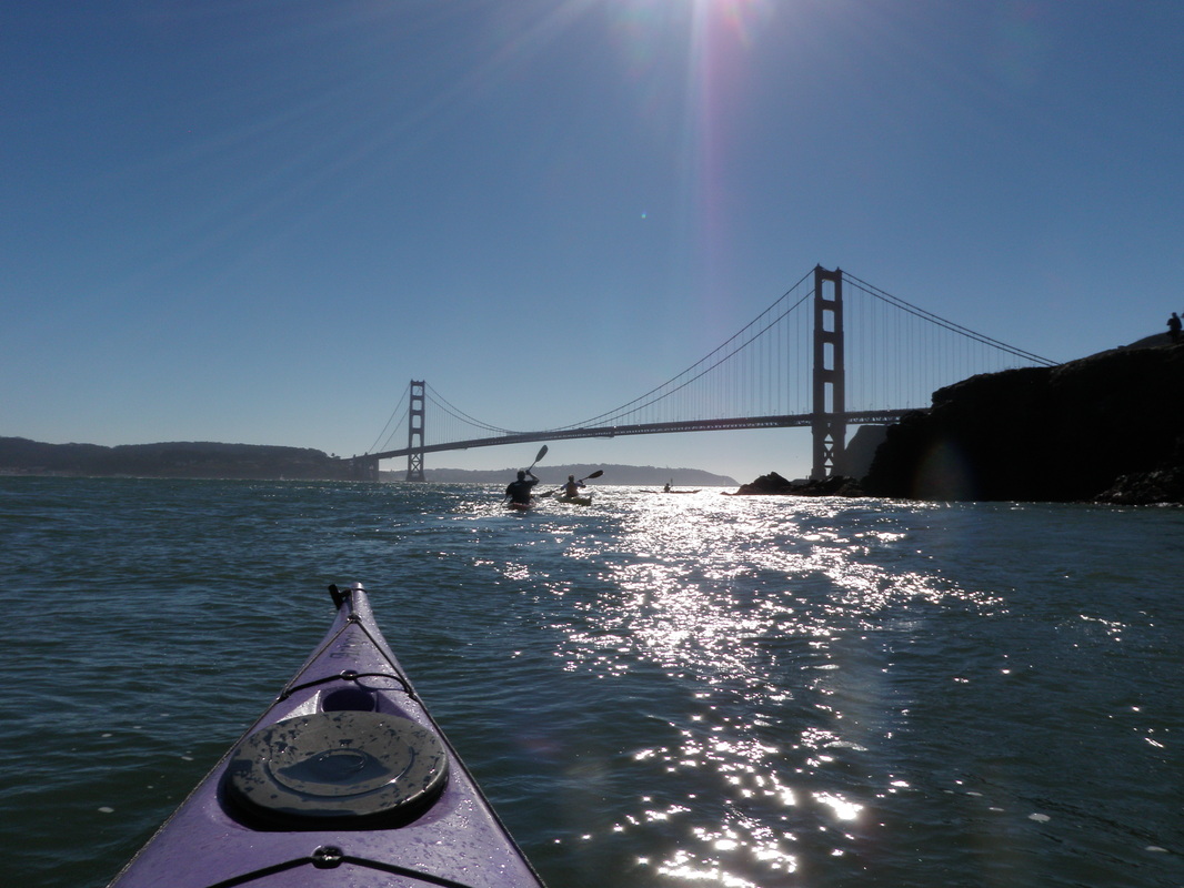
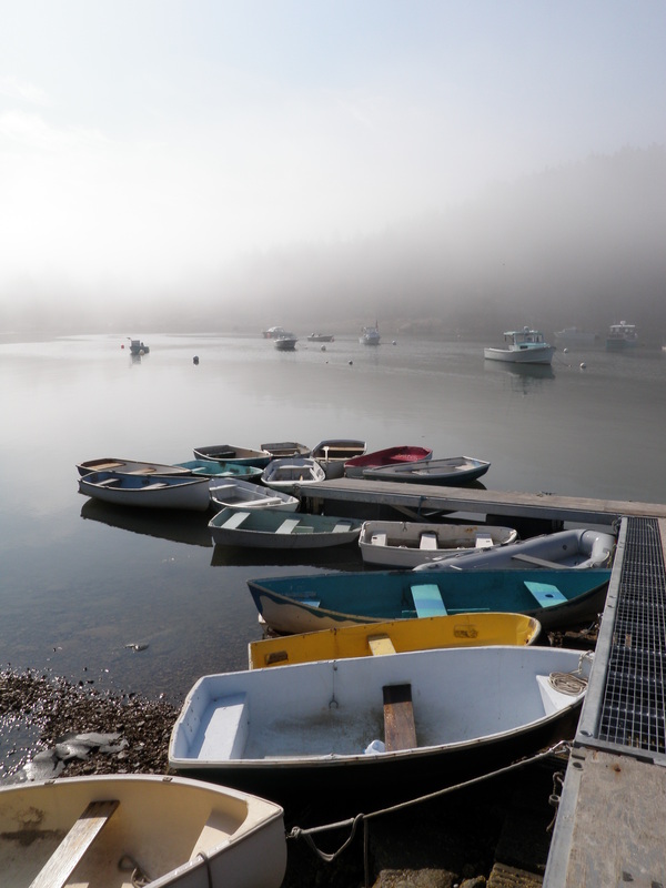
 | 10am - Pull into the parking lot at Horseshoe Cove. The view from the Cove is pretty great. This morning the Bay was covered in a thin layer of thick fog, up to the base of the GG Bridge. It cleared up as the day went on. Thanks to its strategic location just inside the Golden Gate, Angel Island has quite a bit of history. It was the U.S. immigration station from 1910 to 1940 where hundreds of thousands of immigrants entered the country. In the 1950's and 60's it was a missile site. |
|
0 Comments
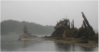
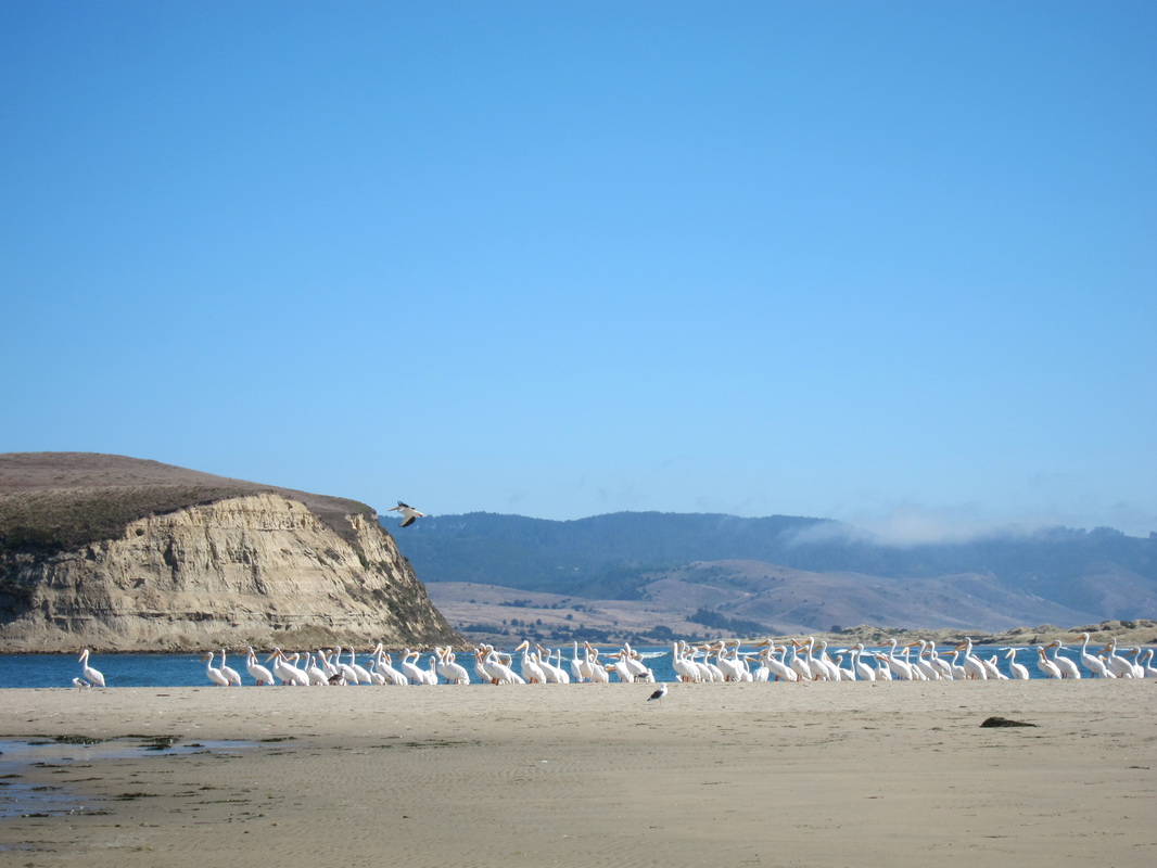 Limantour Spit covered in white pelicans. Estero: "small river," "marsh," or "estuary" in Spanish. I looked it up before agreeing to go on the trip. "Drakes" because it's the likely landing spot of Sir Francis Drake in 1579 during his circumnavigation of the world (thank you, wikipedia). We departed from the Drakes Bay Oyster Company around 10am. The Oyster Company manages a pretty extensive network of wooden racks with oyster beds throughout the Estero - when the tide reached a certain water level, we kept scraping the bottoms of our boats on wooden poles just below the surface. There's a lot of controversy surrounding the company -- oyster collection disturbs seal pups, covers eelgrass beds, and leaves some plastic waste floating around the estuary.
Just a quick post for the second paddle Ben and I did in Mt. Desert Island a couple weekends ago! We paddled north from Southwest Harbor into Somes Sound, riding the tide on the way in, and paddling a little bit against it on the way back. We stopped for lunch in Sargent Cove on the east side of the sound. On the way back, a thick fog seemed to be rolling in from the ocean, so rather than paddling around the island at the end of the sound, we headed back into the harbor. Click "Read More" to see a map of the route.
|
Welcome!This is a blog about exploring the outdoors (mostly by kayak), traveling, trip planning, and coastal engineering. It currently focuses on kayaking in the Netherlands and Belgium, but previous posts cover Upstate New York, California, and much more. See the Complete List of Blog Posts for a history of the site. Looking for something specific? Search the site here.
In addition to the blog, check out the Water Nerd section, where I write about coastal engineering and hydrology. Happy Paddling! Nena Subscribe Here!Email updates on new blog posts, about once per month.
Reader TipsClick the "Read More" link at the bottom of each summary for more photos, to see an interactive map of the route, and to read about the adventure.
Maps in each blog post: Click the icons to learn more about the launch site (amenities) and destinations. Click the square in the bottom-left corner to see an aerial photo behind the route. Archives
December 2020
Categories
All
Click the RSS Feed link, copy the URL, and paste it into your favorite feed reader.
  |
 RSS Feed