Alice and I made reasonably spontaneous plans to paddle yesterday (no cancellations and only planned 2 days in advance - that's real progress). Since we were both tired of driving, we decided to meet in the middle, at San Quentin. Yes, 
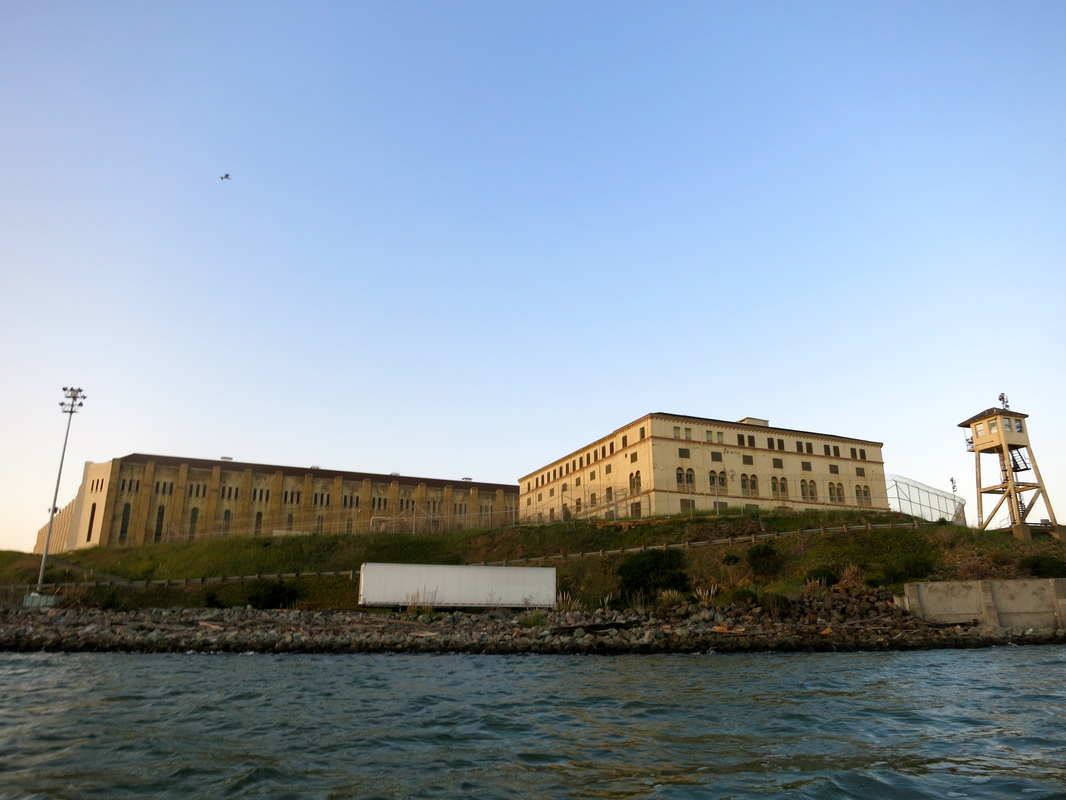
San Quentin State Prison
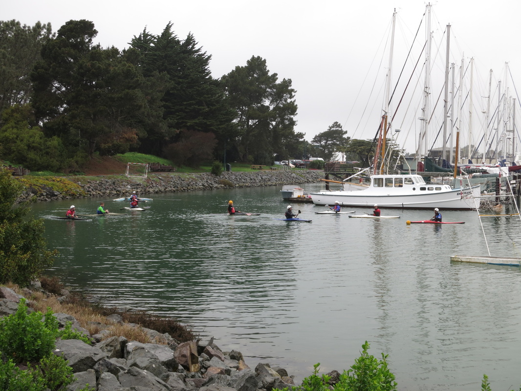
. There's an easy launch spot called Jailhouse Beach that's sheltered by the prison on one side and by the Richmond bridge on the other. There are only a few parking spots along the side of the road, but we had no trouble. It's 1-hour parking, but in Alice's last 3 visits she hasn't gotten a parking ticket. Shhhh!
2 Comments
I've always loved the graceful aspects of kayaking: wake-less drifting, a perfectly-carved turn, an effortless roll, a silent lake. Kayak polo throws elegance out the window in favor of aggression, throwing, tackling, and yelling. But it's different, it's fun, and I'm hoping to stick with it.
A few weeks ago I stumbled across a Berkeley Kayak Polo Meet-up group. Okay, I didn't stumble - Google is just good at advertising. It seemed too good to be true: young kayakers, $8, all gear included (makes logistics much simpler), 10 minutes from my apartment (a rarity in this crowded/spread out Bay), and not already filled to capacity (also unusual for outdoorsy meet-up groups). The sessions are run by the Bay Area Kayak Polo Club (BAKPC) and meet at the Berkeley Marina, in a sheltered area (see photo above and map below)... |
Welcome!This is a blog about exploring the outdoors (mostly by kayak), traveling, trip planning, and coastal engineering. It currently focuses on kayaking in the Netherlands and Belgium, but previous posts cover Upstate New York, California, and much more. See the Complete List of Blog Posts for a history of the site. Looking for something specific? Search the site here.
In addition to the blog, check out the Water Nerd section, where I write about coastal engineering and hydrology. Happy Paddling! Nena Subscribe Here!Email updates on new blog posts, about once per month.
Reader TipsClick the "Read More" link at the bottom of each summary for more photos, to see an interactive map of the route, and to read about the adventure.
Maps in each blog post: Click the icons to learn more about the launch site (amenities) and destinations. Click the square in the bottom-left corner to see an aerial photo behind the route. Archives
December 2020
Categories
All
Click the RSS Feed link, copy the URL, and paste it into your favorite feed reader.
|