|
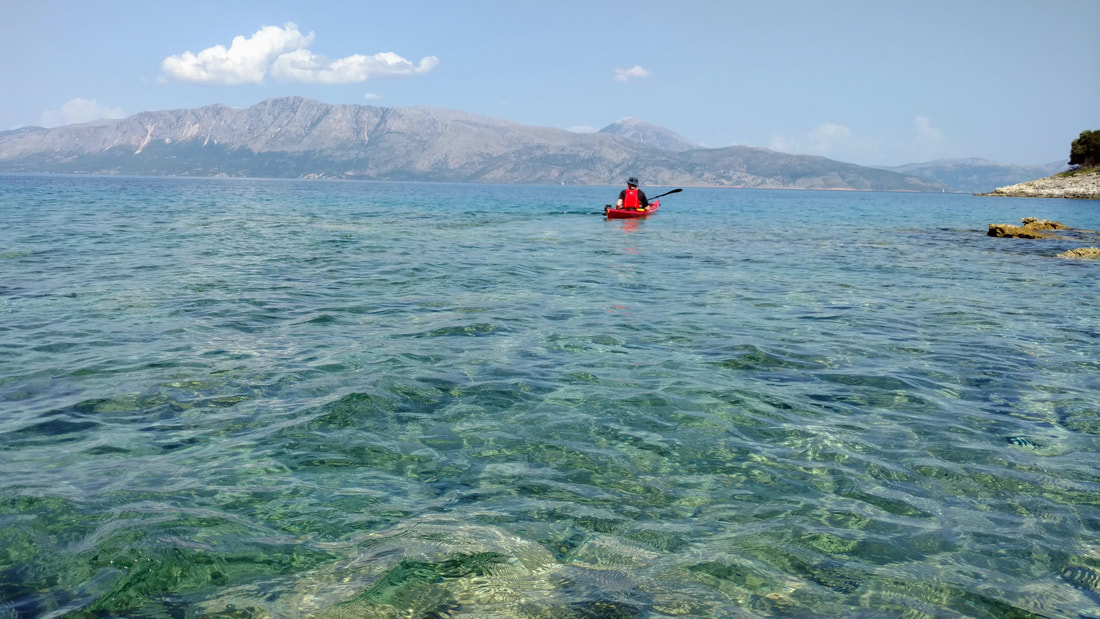
Greece, how you exceeded my expectations! When I first began brewing up plans to go kayaking in Greece (shout out to Doug!), I pictured steep coasts peppered with bright white houses and blue decorations. I had imagined that these dense developments would cover the Greek islands, and we would paddle from dense village to village, eating delicious Greek food and sipping red wine. So, when we began paddling away from the little town of Vasiliki on the Island of Lefkada, I was struck by how vast and natural the surrounding islands really were. Aside from some small villages in pocket beaches, we encountered undeveloped shorelines of steep cliffs, rocky/pebble-y beaches, and olive groves.
1 Comment
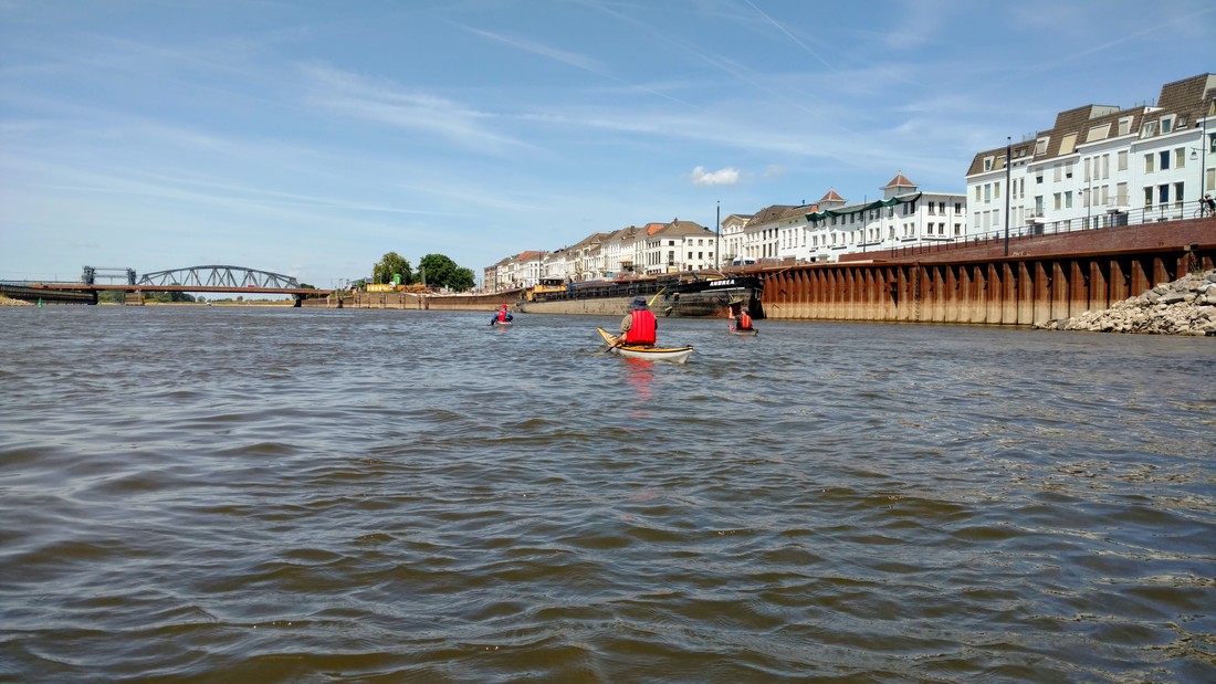
Last weekend (my birthday weekend!) I spent two extremely sunny days paddling along the IJssel River in good company, with plenty of assistance from the currents. We encountered sandy and very muddy beaches, swirling river currents, a little bit of wildlife (including a partying kayak-polo team), and an evening circus! Read on for photos, a map, and the story.
After a week on the North Island, we caught the 4 hour ferry from Wellington to Picton. We would spend the next two weeks of our trip exploring the South Island. As someone who loves bobbing on waves in a tiny kayak, I'm always surprised by how quickly I get nauseous on big ships in slightly rough seas. The weather was crappy, so we couldn't spent more than a few minutes outside in the fresh air.
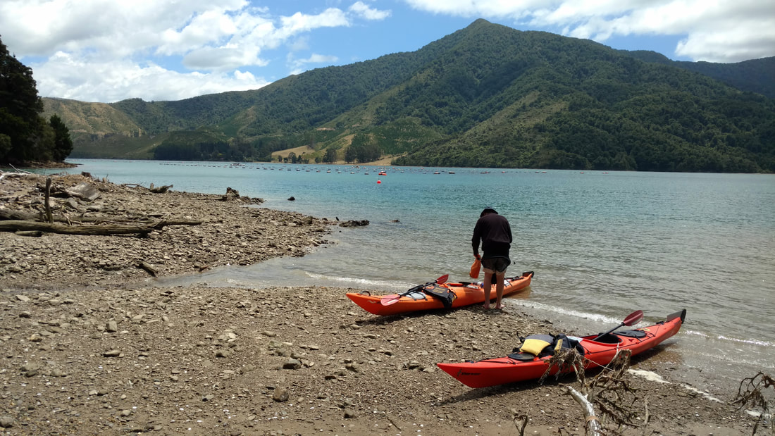
That evening we stayed in a scenic, walk-in, waterside Department of Conservation (DOC) campsite, where we shared the site with one other tent (see album at the end of this post). Early the next morning we drove to the kayak rental headquarters, where we emptied our belongings across their lawn and packed for our first overnight kayaking trip in New Zealand (and Henk's first overnight trip ever!). Destination: Kenepuru Sound in Marlborough Sounds on the north coast of the South Island.
 Click to read more kayak-related excerpts from my Fulbright application! Click to read more kayak-related excerpts from my Fulbright application!
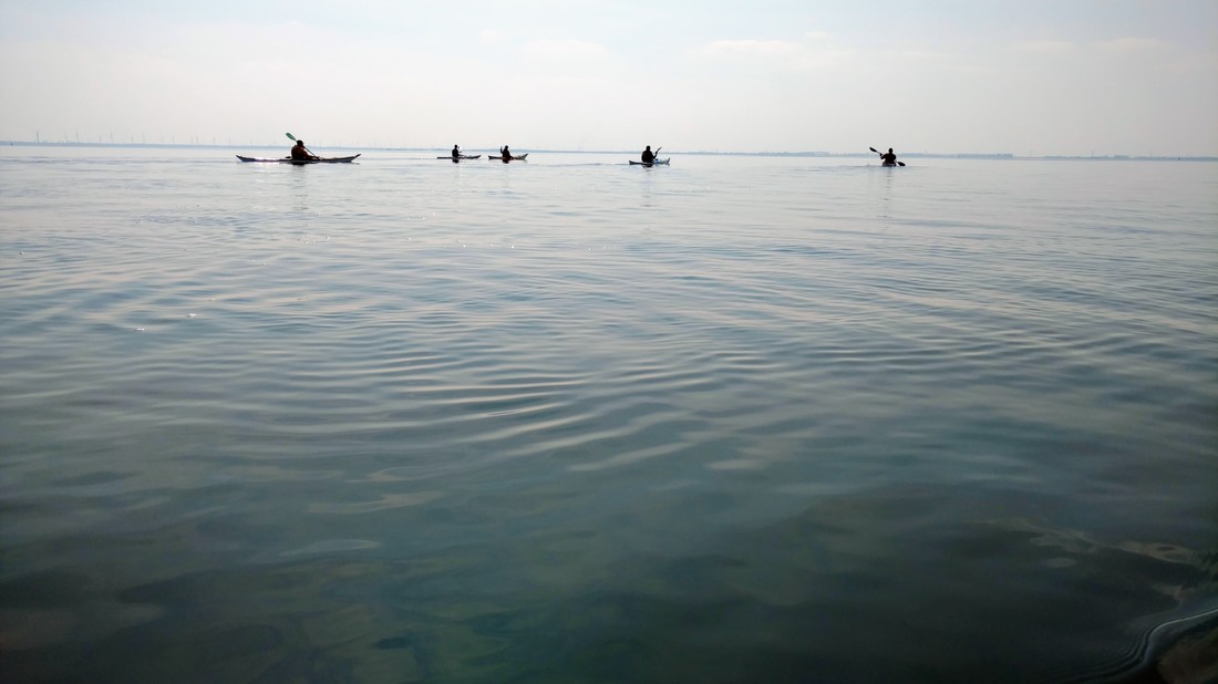
I finally did it! I went sea kayaking in the Netherlands. For the last ~3 years I've been enjoying the vast network of inland rivers and canals that the Netherlands and Belgium have to offer. But without my own boat and a group of skilled paddlers nearby, sea kayaking has been just out of reach.
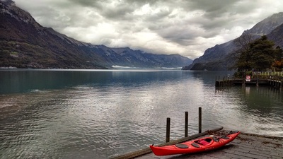
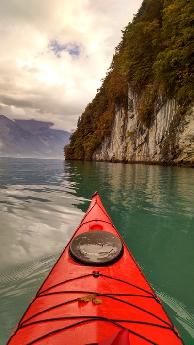
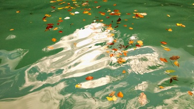
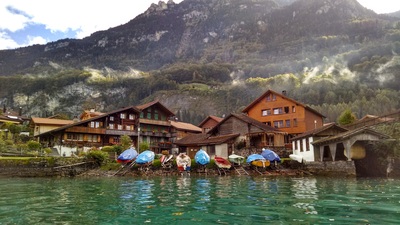
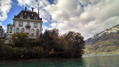
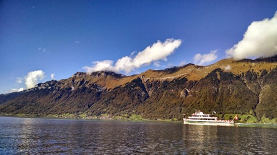
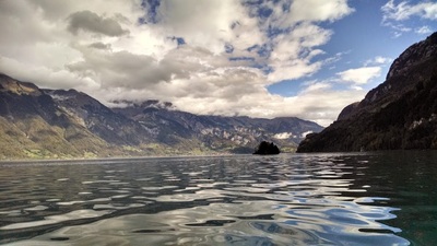
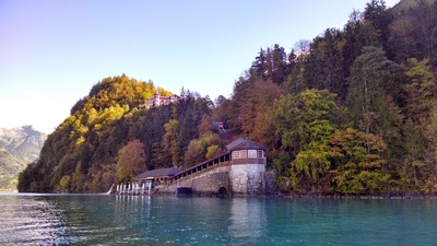
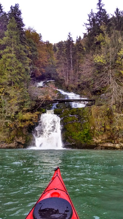
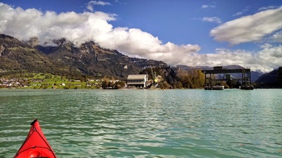
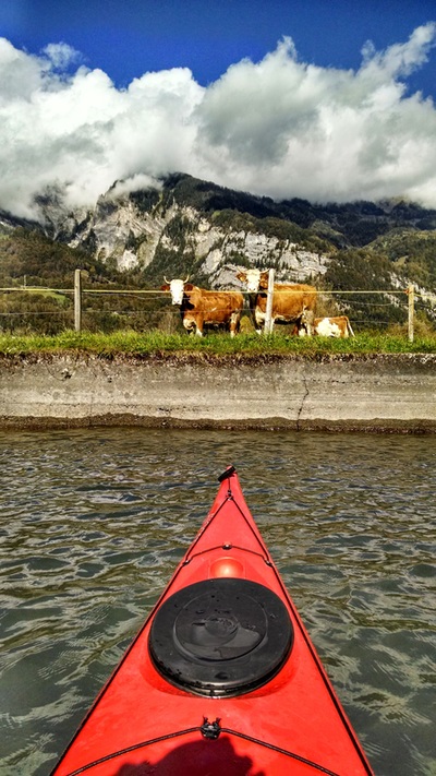
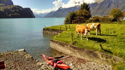
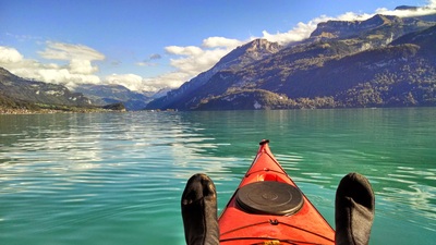
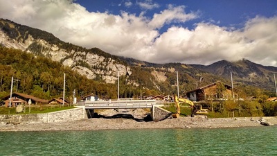
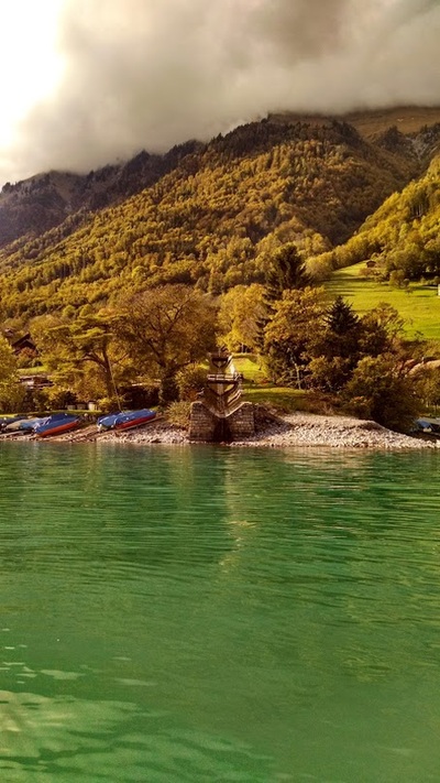
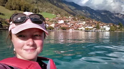
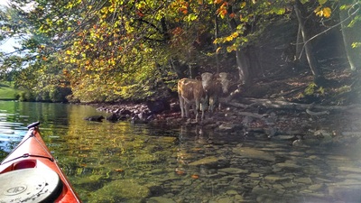
It felt particularly meaningful when I realized this was also the first time I'd been kayaking on either the Oosterschelde or the Westerschelde. The last sentence of my personal statement for Fulbright - the research grant that brought me to Europe in the first place - was "Enabled by my fluent Dutch, I also look forward to hearing the perspectives of local sea kayakers intimately familiar with the Dutch waterways, while riding the tides of the Oosterschelde and Westerschelde." Though it came 3 years late, it went exactly how I'd hoped. Even better, because if you'd dropped me in a group of Dutch kayakers (with their Dutch accents) 3 years ago, I wouldn't have understood anything! On top of all that, this ended up being my longest kayaking trip ever (just barely)... Lake Brienz (Brienzersee in German) is one of two lakes that flank the city of Interlaken, Switzerland. Unlike the Lake Thun (the other lake), Lake Brienz is a vibrant turquoise blue color, likely caused by glacial sediments flowing into the lake. I rented a boat from Hightide Kayak School in Bönigen (next to Interlaken) and embarked on my longest solo paddle yet. As you can see from the photos below, the views and weather were fantastic!
Note: I'm trying out a new layout with this post, with all photos + captions up front and the detailed trip description later on. Let me know what you think! |
Welcome!This is a blog about exploring the outdoors (mostly by kayak), traveling, trip planning, and coastal engineering. It currently focuses on kayaking in the Netherlands and Belgium, but previous posts cover Upstate New York, California, and much more. See the Complete List of Blog Posts for a history of the site. Looking for something specific? Search the site here.
In addition to the blog, check out the Water Nerd section, where I write about coastal engineering and hydrology. Happy Paddling! Nena Subscribe Here!Email updates on new blog posts, about once per month.
Reader TipsClick the "Read More" link at the bottom of each summary for more photos, to see an interactive map of the route, and to read about the adventure.
Maps in each blog post: Click the icons to learn more about the launch site (amenities) and destinations. Click the square in the bottom-left corner to see an aerial photo behind the route. Archives
December 2020
Categories
All
Click the RSS Feed link, copy the URL, and paste it into your favorite feed reader.
|

 RSS Feed

