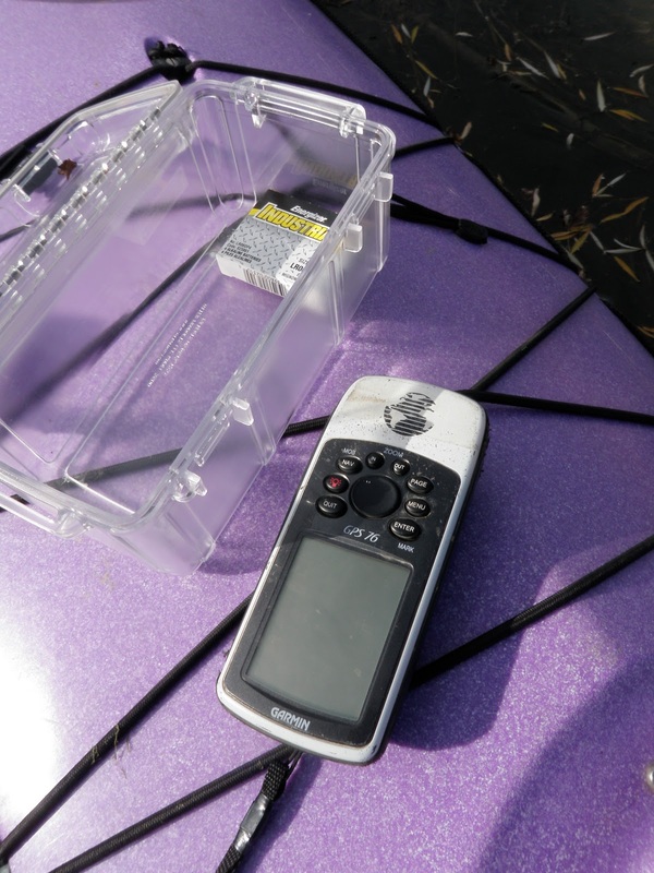
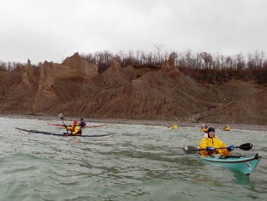
| A few weeks ago my graduate adviser offhandedly mentioned that there was a need to develop a more detailed outline of the south end of Cayuga Lake for the hydrologic model he and some colleagues are working on. There is a particularly high need for a more accurate outline of the inlet and other contributing waterways at the southern tip of the lake. In an effort to validate my kayaking with some sort of productive excuse, I offered to take a GPS along while I paddled as far as possible up the various tributaries of Cayuga Lake. Last Sunday some Ithaca kayaking buddies (Ben, Rob, and Esther) and I headed down to Cass Park to attempt to map the inlet. The GPS seemed to be working and recording data as we paddled, which was a relief! The channels we paddled (from west to east) included: #1 The "Inlet" - The widest and longest of the four, this channel is relatively unexciting. The wind was coming from the south, so we had a pretty strong breeze to paddle against on the way down. We were stopped by a dam across the channel. |
|
0 Comments
At the pool session last week, I decided to try these two new (for me) Greenland-style rolls (no... I'm not talking about sushi... that would be gross). Luckily Ben was there to film it when I unexpectedly surfaced. This little boat is a magical rolling machine! Watch Cheri Perry do it here (under "Rolls with no paddle"). I didn't realize that I could extend my left arm out at the end. It also looks like I should tuck a bit more at the beginning. Yay for movies! Watch Cheri Perry do it here (under "Rolls with no paddle"). I crossed my arms a little differently than she does, and I probably need a bit more snap at the end. But yay for managing to get up in the first place!
|
Welcome!This is a blog about exploring the outdoors (mostly by kayak), traveling, trip planning, and coastal engineering. It currently focuses on kayaking in the Netherlands and Belgium, but previous posts cover Upstate New York, California, and much more. See the Complete List of Blog Posts for a history of the site. Looking for something specific? Search the site here.
In addition to the blog, check out the Water Nerd section, where I write about coastal engineering and hydrology. Happy Paddling! Nena Subscribe Here!Email updates on new blog posts, about once per month.
Reader TipsClick the "Read More" link at the bottom of each summary for more photos, to see an interactive map of the route, and to read about the adventure.
Maps in each blog post: Click the icons to learn more about the launch site (amenities) and destinations. Click the square in the bottom-left corner to see an aerial photo behind the route. Archives
December 2020
Categories
All
Click the RSS Feed link, copy the URL, and paste it into your favorite feed reader.
|


 RSS Feed

