The Naked Kayaker
  • Blog
    • Search the site
  • Resources
    • Complete List of Posts
    • Trip Planning 101
    • Intro to Kayaking - Course Outline
    • Where can I rent a kayak in Belgium/the Netherlands?
    • How do I get certified in NL?
    • Map of Paddling Clubs
    • Dutch-English Watersports Dictionary
  • Destinations
    • West Coast
    • Great Lakes Region
    • New York State
    • New England
    • Europe
    • Oceania
  • Water Nerd
  • About & Contact

Blog

"Believe me, my young friend. There is nothing, absolutely nothing,
half so worth doing as simply messing around in boats." 

The Wind in the Willows

Mapping the Cayuga Lake Inlet & Tributaries

11/17/2010

0 Comments

 
Picture
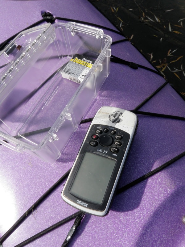
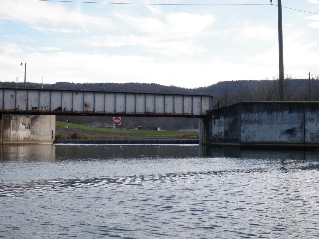
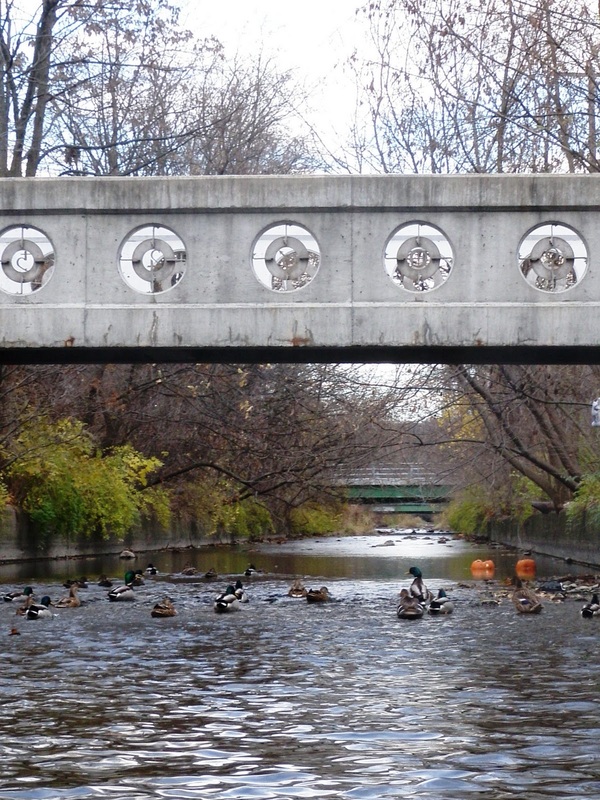
A few weeks ago my graduate adviser offhandedly mentioned that there was a need to develop a more detailed outline of the south end of Cayuga Lake for the hydrologic model he and some colleagues are working on. There is a particularly high need for a more accurate outline of the inlet and other contributing waterways at the southern tip of the lake. In an effort to validate my kayaking with some sort of productive excuse, I offered to take a GPS along while I paddled as far as possible up the various tributaries of Cayuga Lake.

Last Sunday some Ithaca kayaking buddies (Ben, Rob, and Esther) and I headed down to Cass Park to attempt to map the inlet. The GPS seemed to be working and recording data as we paddled, which was a relief! The channels we paddled (from west to east) included:

#1 The "Inlet" - The widest and longest of the four, this channel is relatively unexciting. The wind was coming from the south, so we had a pretty strong breeze to paddle against on the way down. We were stopped by a dam across the channel. 
Picture
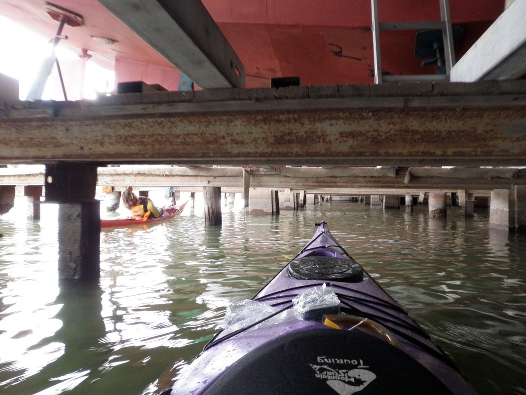
#2 A nameless (?) side channel - The beginning of the channel has a long boat house where a number of big boats are propped up above the water for the winter. It was the perfect (and slightly scary) opportunity to play kayak Limbo: That red thing above my boat is a HUGE boat propped up on some little legs... 
Picture
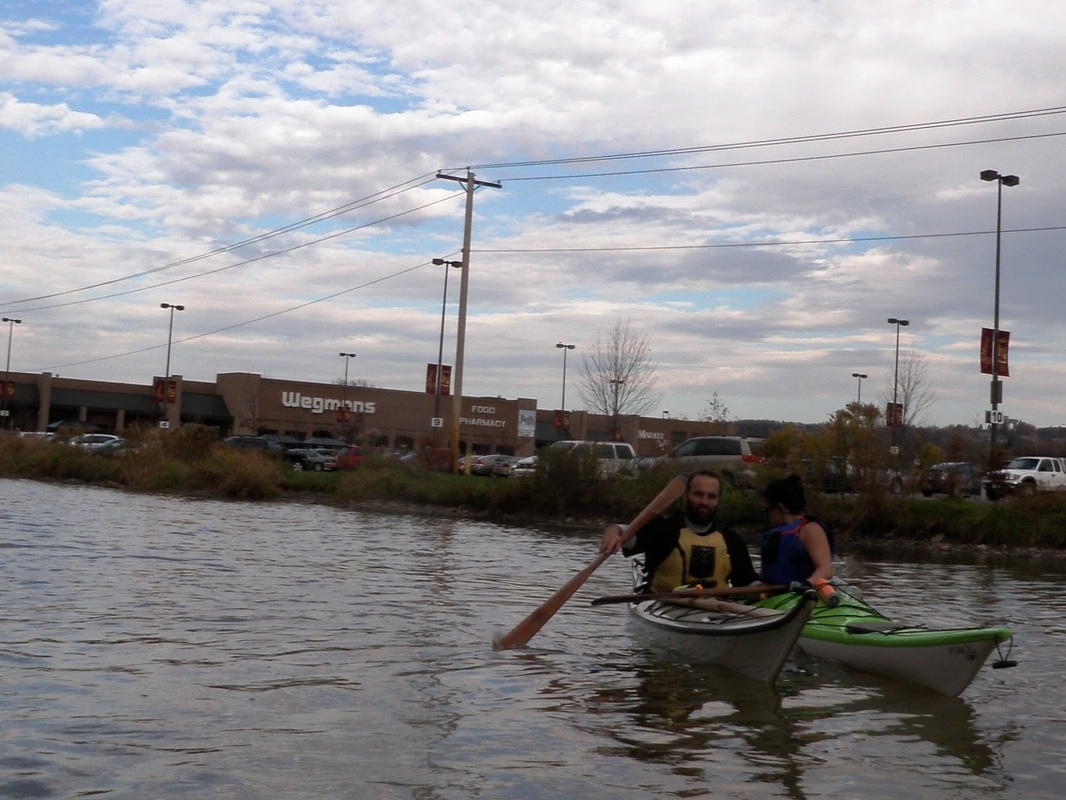
This channel also takes you past Wegmans, which is always very exciting. Before getting to Wegmans, however, you pass The Jungle. It's a little triangle of land owned by the railroad company that the homeless of Ithaca have called their home for more than 70 years.
Picture
Picture
#3 Six Mile Creek - This section of the creek is not the most scenic.. We paddled past some  suburban plazas, and were once again limited by the shallow water.

#4 Cascadilla Creek - The entrance to this creek is north a bit, right near the Ithaca wastewater treatment plant. Part of the goal of modeling the lake is to see how much of an effect point-source pollution (like wastewater treatment plants) has on the lake compared with non-point source pollution (like fertilizer runoff). Anyways, we were shortly limited by the shallow water. This channel had many more down trees blocking off sides of the creek.
I'm not sure how successful it was from a GPS standpoint (I haven't had a chance to look at the data yet). It was hard to maintain a constant distance from shore due to super shallow water, docks, and fallen trees. We were, however, successful in having an enjoyable kayaking trip. Rob demonstrated a new feat: kayak pull-ups on low bridges.

He also tested his cold water rolling abilities... even later in the year than last time!
Picture
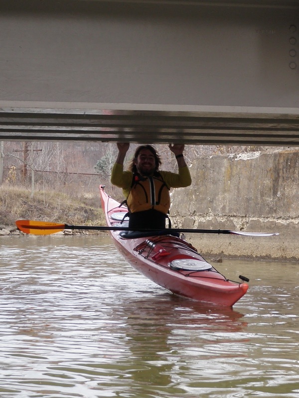
Date: November 14th, 2010
Distance: 10 miles
Weather: Partly cloudy, pretty windy, 60ish degrees F
0 Comments


Leave a Reply.

    Welcome!

    This is a blog about exploring the outdoors (mostly by kayak), traveling, trip planning, and coastal engineering. It currently focuses on kayaking in the Netherlands and Belgium, but previous posts cover Upstate New York, California, and much more. See the Complete List of Blog Posts for a history of the site. Looking for something specific? Search the site here.

    In addition to the blog, check out the Water Nerd section, where I write about coastal engineering and hydrology. 

    ​Happy Paddling!
    ​Nena

    Subscribe Here!

    Email updates on new blog posts, about once per month.

    Reader Tips

    Click the "Read More" link at the bottom of each summary for more photos, to see an interactive map of the route, and to read about the adventure.

    Maps in each blog post: Click the icons to learn more about the launch site (amenities) and destinations. Click the square in the bottom-left corner to see an aerial photo behind the route.
    Suggestions much appreciated!


    Archives

    December 2020
    April 2019
    November 2018
    October 2018
    September 2018
    August 2018
    July 2018
    March 2018
    February 2018
    January 2018
    December 2017
    November 2017
    August 2017
    July 2017
    May 2017
    April 2017
    March 2017
    September 2016
    August 2016
    July 2016
    June 2016
    May 2016
    March 2016
    December 2015
    November 2015
    June 2015
    May 2015
    April 2015
    March 2015
    February 2015
    January 2015
    November 2014
    October 2014
    September 2014
    August 2014
    July 2014
    June 2014
    May 2014
    April 2014
    March 2014
    February 2014
    December 2013
    June 2013
    May 2013
    December 2012
    November 2012
    June 2012
    May 2012
    May 2011
    November 2010
    October 2010
    September 2010
    August 2010
    July 2010
    June 2010
    May 2010


    Categories

    All
    Biking
    Camping
    Canoeing
    City Trip
    Distance: 00 - 05 Miles
    Distance: 05 - 10 Miles
    Distance: 10 - 15 Miles
    Distance: 15 - 20 Miles
    Distance: > 20 Miles
    Guest Post
    Hiking
    Kayak Polo
    Reflections
    Region: Belgium
    Region: California
    Region: Canary Islands
    Region: Croatia
    Region: France
    Region: Great Lakes
    Region: Greece
    Region: Italy
    Region: Netherlands
    Region: New York
    Region: New Zealand
    Region: Norway
    Region: Oregon
    Region: Portugal
    Region: Spain
    Region: Switzerland
    Region: UK
    Region: US East Coast
    Region: Vancouver
    Region: Washington
    Roadtrip
    Tide: Non-Tidal
    Tides: Non-Tidal
    Tides: Tidal
    Time Capsules
    Trip Planning 101
    Type: Bay
    Type: Canal
    Type: Channel
    Type: Fjord
    Type: Lake
    Type: Lake/Reservoir
    Type: Open Coast
    Type: River
    Water Nerd

    RSS Feed

    Click the RSS Feed link, copy the URL, and paste it into your favorite feed reader.
    Blog Expat: living abroad

    Expats Blog
© 2021 The Naked Kayaker. All rights Reserved.