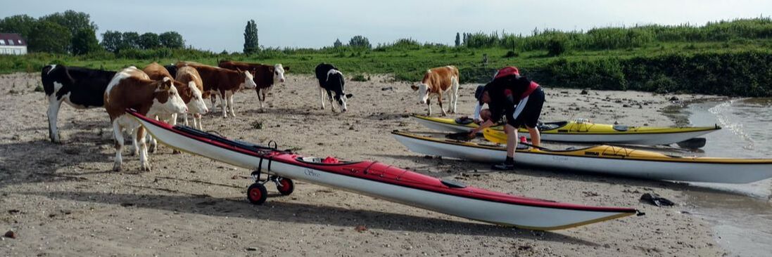
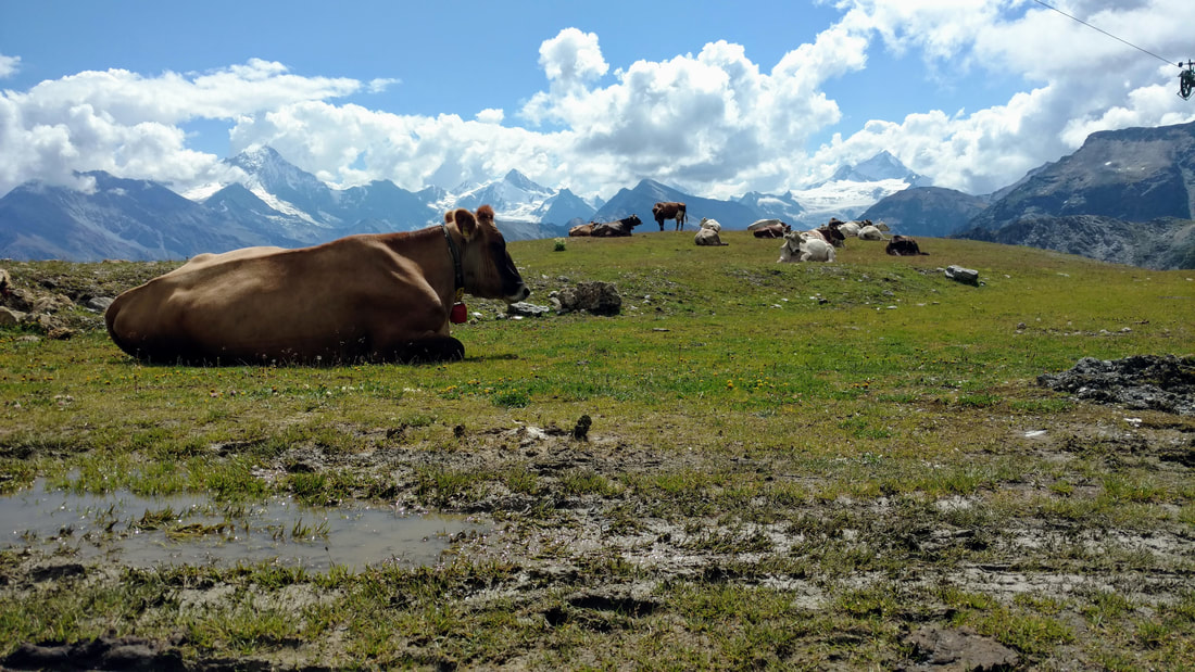
Just a bunch of cows curious about those big colorful things on their beach.
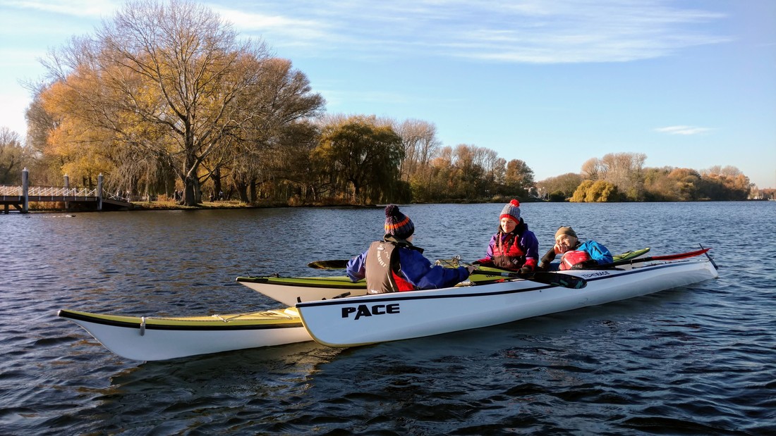
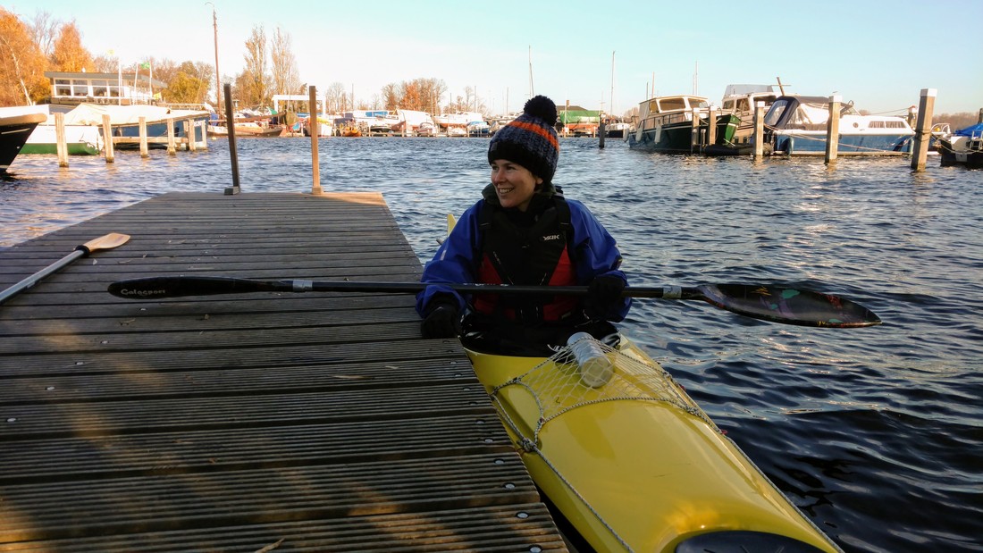
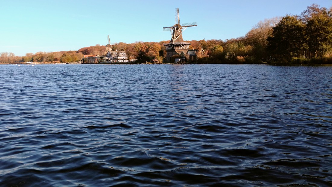
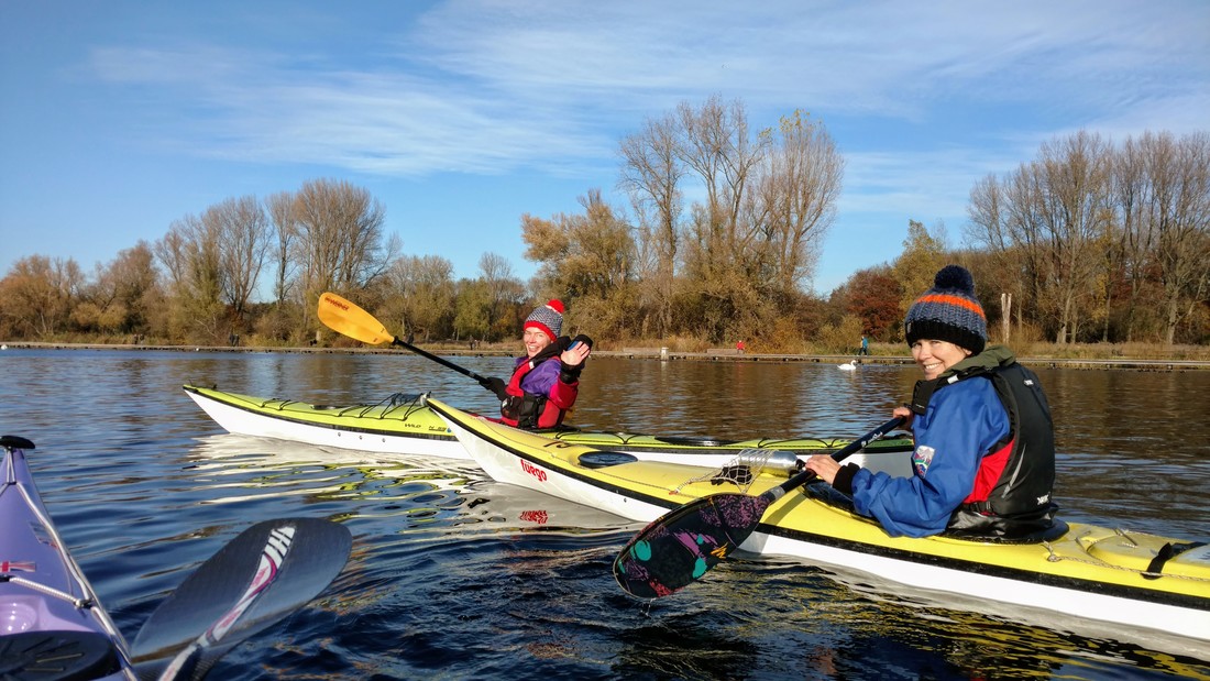
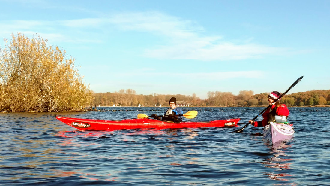
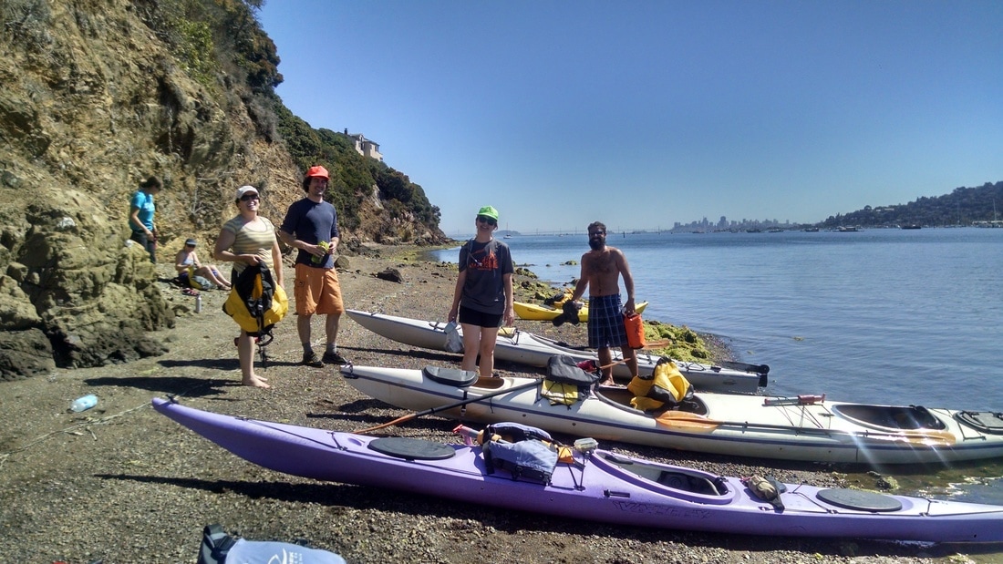
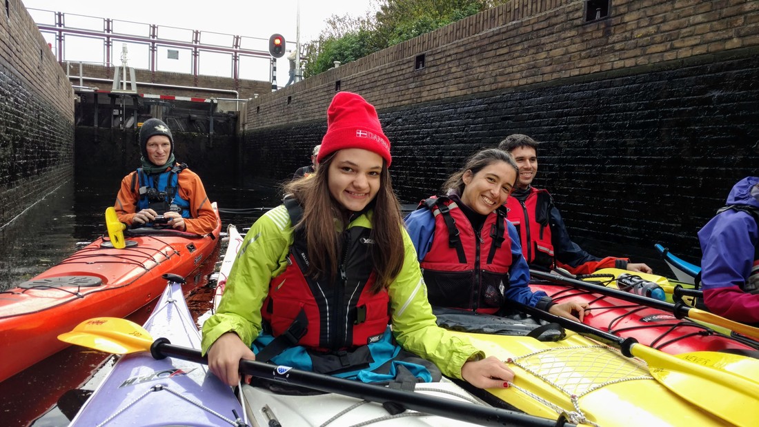
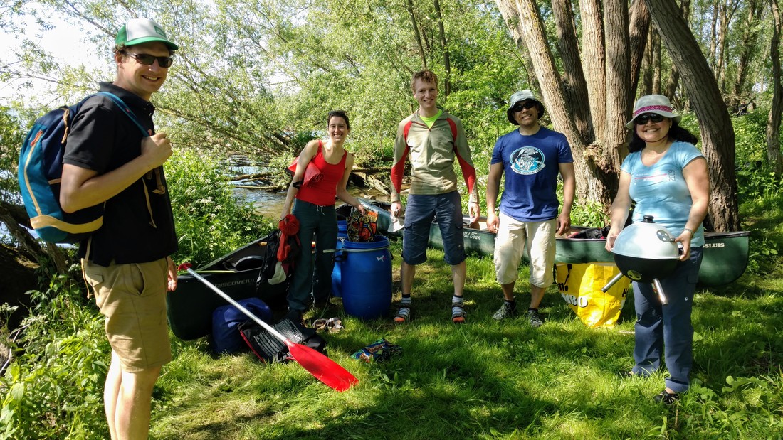
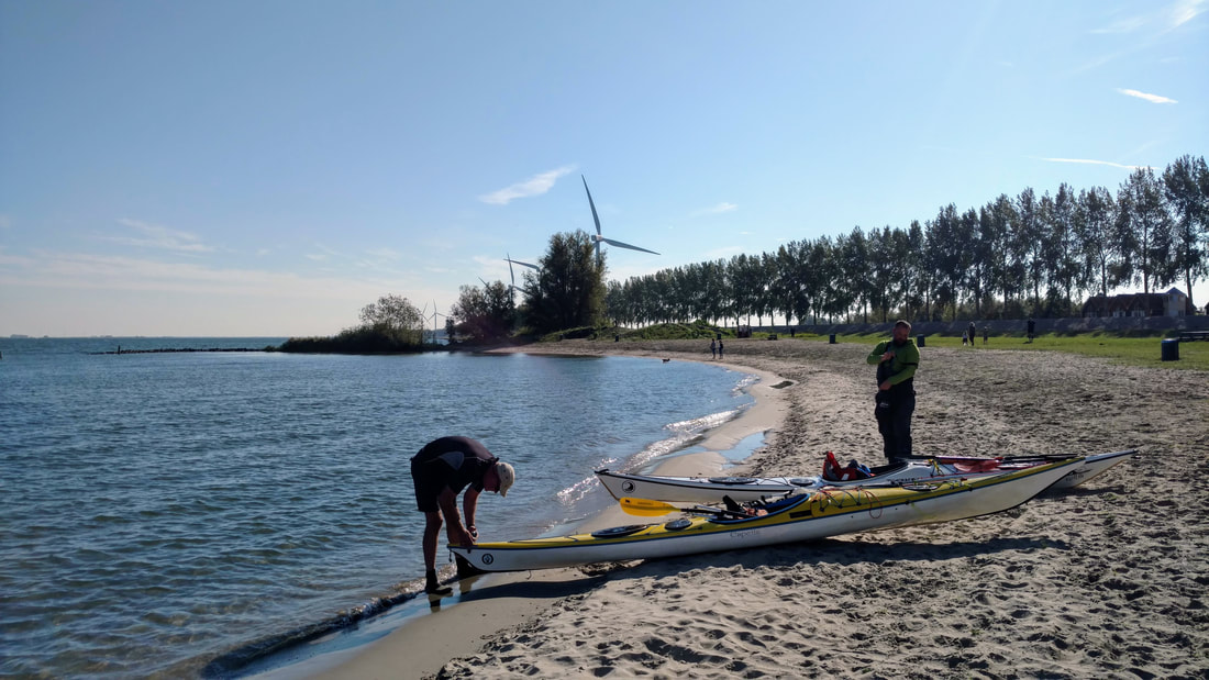
In my last post, I promised I would also share some paddling highlights of the past two years, which didn't make it onto the blog. Here you go! Lots of photos, not much explanation...
 RSS Feed

