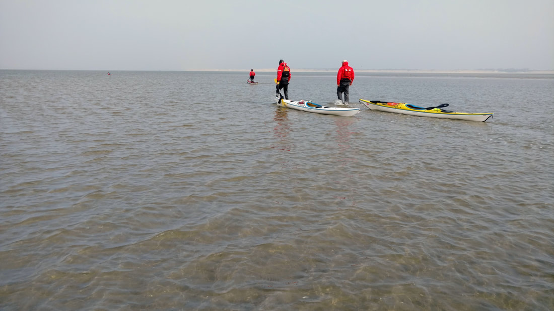
Why are they walking? Read on to find out :)
Last weekend a fun group of Never Dry paddlers headed out to Stellendam for a late winter (early spring?) paddle on the North Sea. If you are wondering why we are walking in the photo, read on to find out!
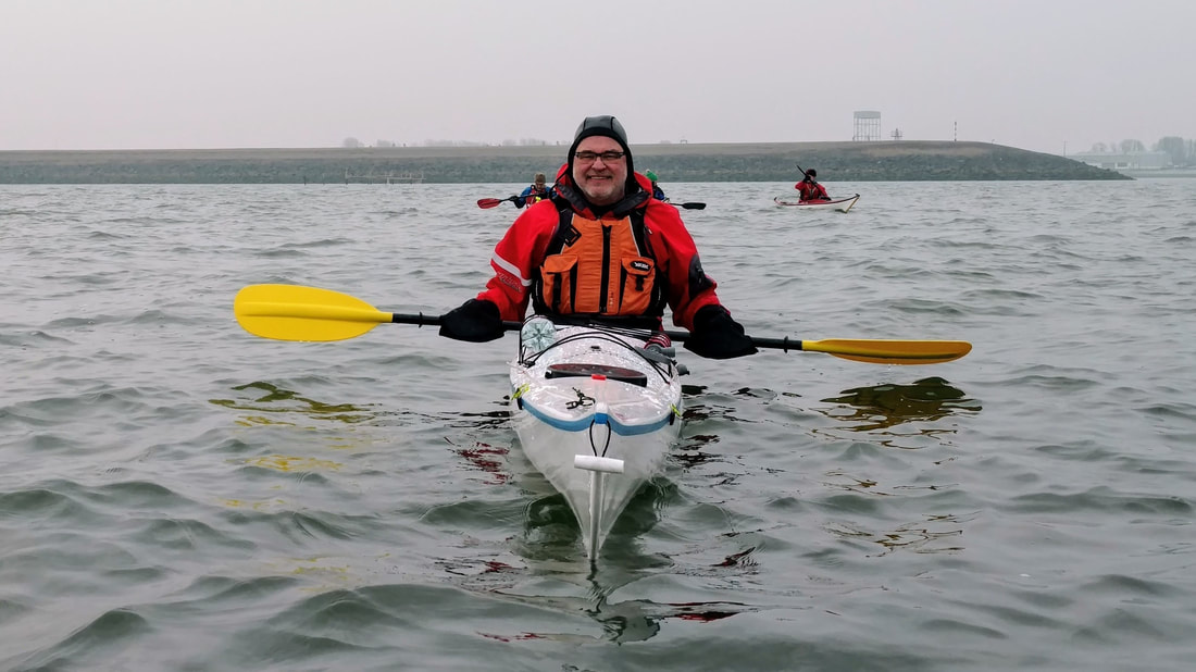
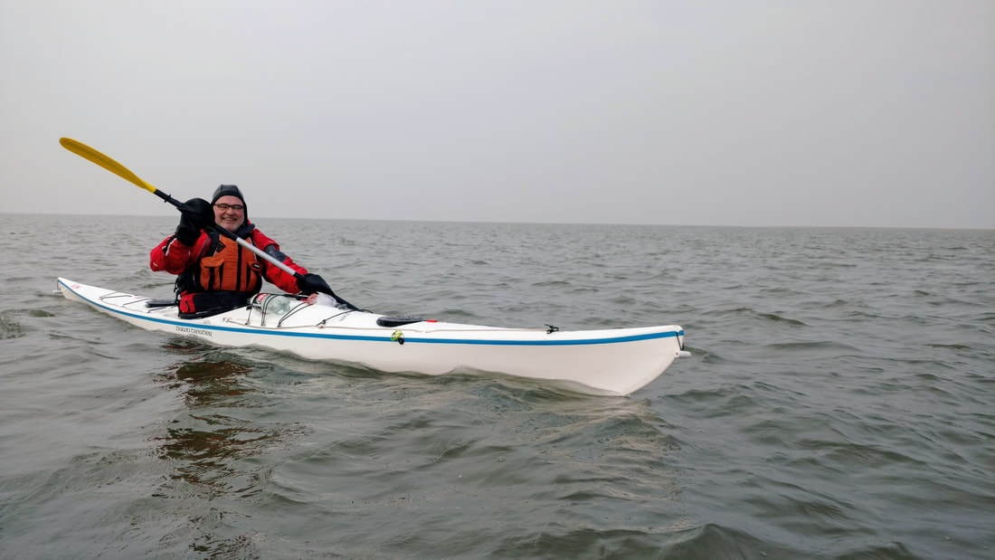
Marianne, Iede, Berend, Amelia, Tom, and I met at the club around 9am on Sunday. Daylight savings time began the night before, and we all felt the missing hour of sleep. We went about our business getting boats and gear loaded up. Iede and Tom both recently bought new sea kayaks (one more spontaneously than the other). Tom was taking his old boat on a farewell paddle, and Iede was introducing his new one to the sea (like me!). It was a day of many firsts, with my first trip on the North Sea, Amelia's (and Berend's?) first trip on the open coast, and the club's first open coast trip of the season.
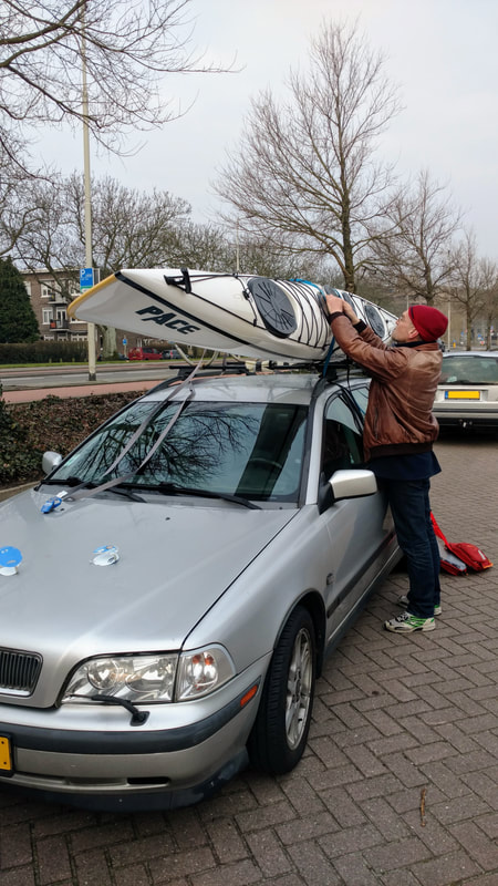
Iede getting his new kayak loaded up
|
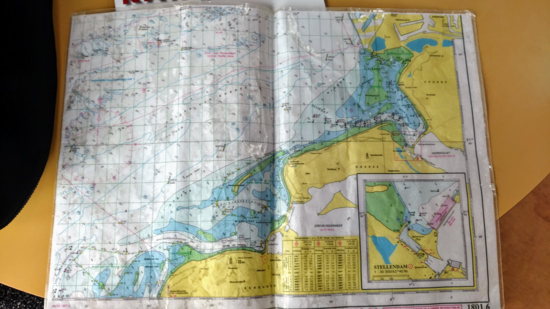
The outdated chart we relied on
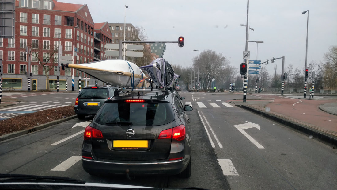
Off we go! I don't usually see my own boat on someone else's car while driving, so I had to take a photo...
After the boats were loaded, everyone had one more coffee until I said "let's go?!". For some reason, it sometimes bothers me that kayaking is such a logistically intensive/time consuming sport, and dragging out the preparations can make me antsy. Maybe I just need to accept that going for a paddle inevitably takes all day...
|
Anyways! We split into three cars, and off we went. Our launch site, Stellendam, is only a ~35 min drive from Rotterdam. I jumped in Berend's van, to which Iede said "Are you sure you want to do that?" I guess he was referring to the dog scent, since Berend has a dog walking business (De Hondenman!). I actually learned quite a bit about this, and about having your own small business in the Netherlands. This is relevant because I just registered my own business on Monday! More on that another time, though... The ride went smoothly for the first 10 minutes, until the check engine light went on. After an initial look of concern on his face, Berend assured me it would be fine, we just needed to drive more slowly. OK!
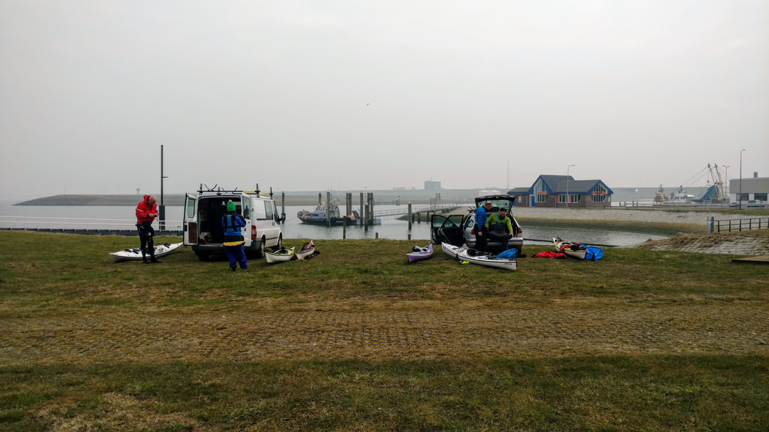
Getting into our gear at the launch site - Stellendam Outer Harbor
We all arrived in one piece. A misty and quiet launch site awaited us. We drove our cars down the grassy slope to the boat ramp and began unloading. It was exciting to get into full paddling gear again - it's been a while! We shivered a bit as we swiftly pulled on our wetsuits, booties, drytops, and warm hats. Though I'd been inspired to organize a trip by the warm forecast, it wasn't feeling warm yet! Iede called the coast guard to let them know we were headed out. They informed him that the visibility was only expected to get worse. We were not too worried given the lack of boat traffic on a wintery Sunday.
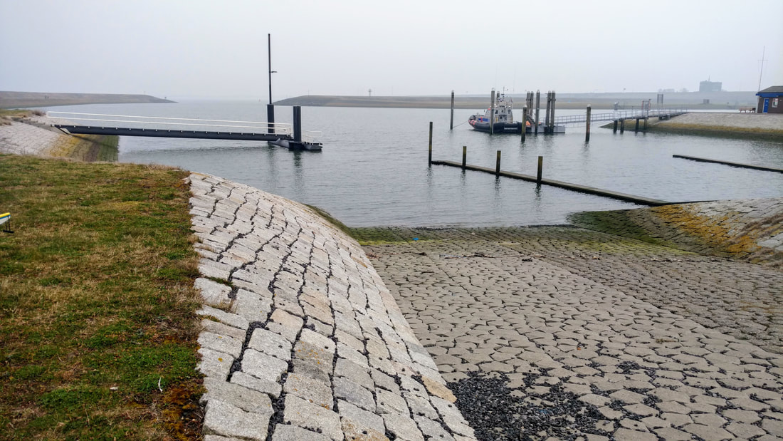
Launch ramp at Stellendam Outer Harbor
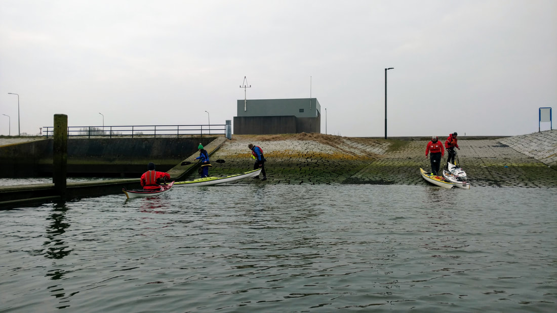
We launched our boats from a long rocky boat ramp, stepping around piles of large fish skeletons along a wrack line. It was high tide, which meant we could use the adjacent wall to get in our boats with dry feet. We paddled out of Stellendam Outer Harbor and into the North Sea!
We hopped into our boats at high tide using the dividing wall, and managed to keep our feet dry (for now.....)
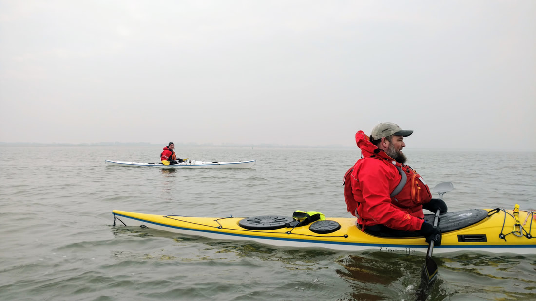
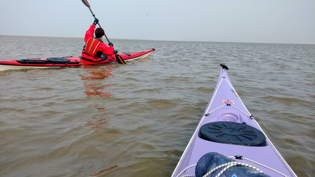
Our plan was to ride the tide out to sea, following some green buoys along the way. Eventually we would cross the channel and follow some yellow buoys northwards along the inside of a large sandbar. The green buoys were easy to spot, even in the mist.
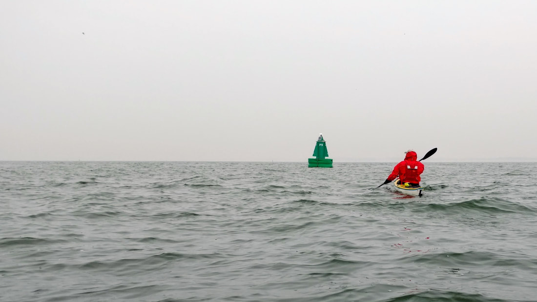
Tom heading towards the first of many buoys.
Berend at the mouth of Stellendam Outer Harbor
However, their numbering was different than on the chart (from 2011, so no surprise). We passed buoy after buoy until we decided to head north and look for the yellow buoy line. We spotted a small grey dot, which could have been a seal's head, in the distance, and decided to try our luck.
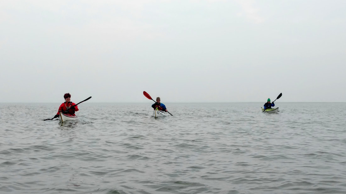
As we came closer, a very dirty and small yellow buoy came into view. However, the number indicated that we'd drifted out to sea a bit farther than planned. It wasn't too concerning, since conditions were otherwise favorable, so we simply headed directly east (Iede told Marianne and Tom to "go more east!!" And they said "we are going 90 deg, we can't go any more east than that! ...It was funny at the time :).
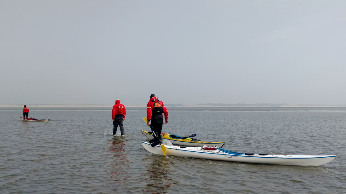
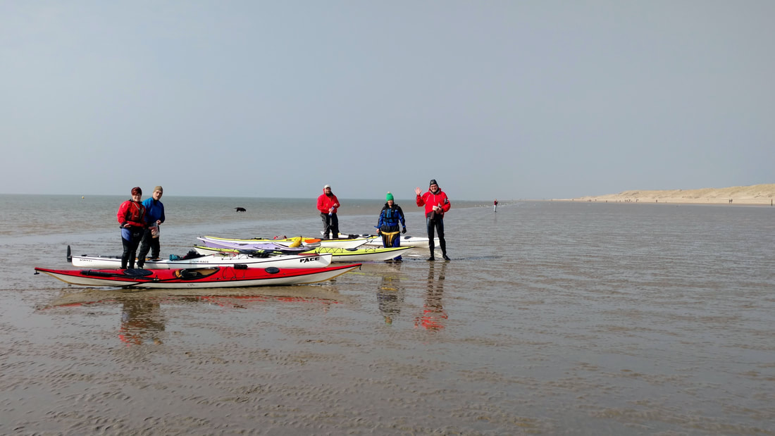
Marianne hitting bottom at the tidal flat, a few minutes before we bailed and began walking.
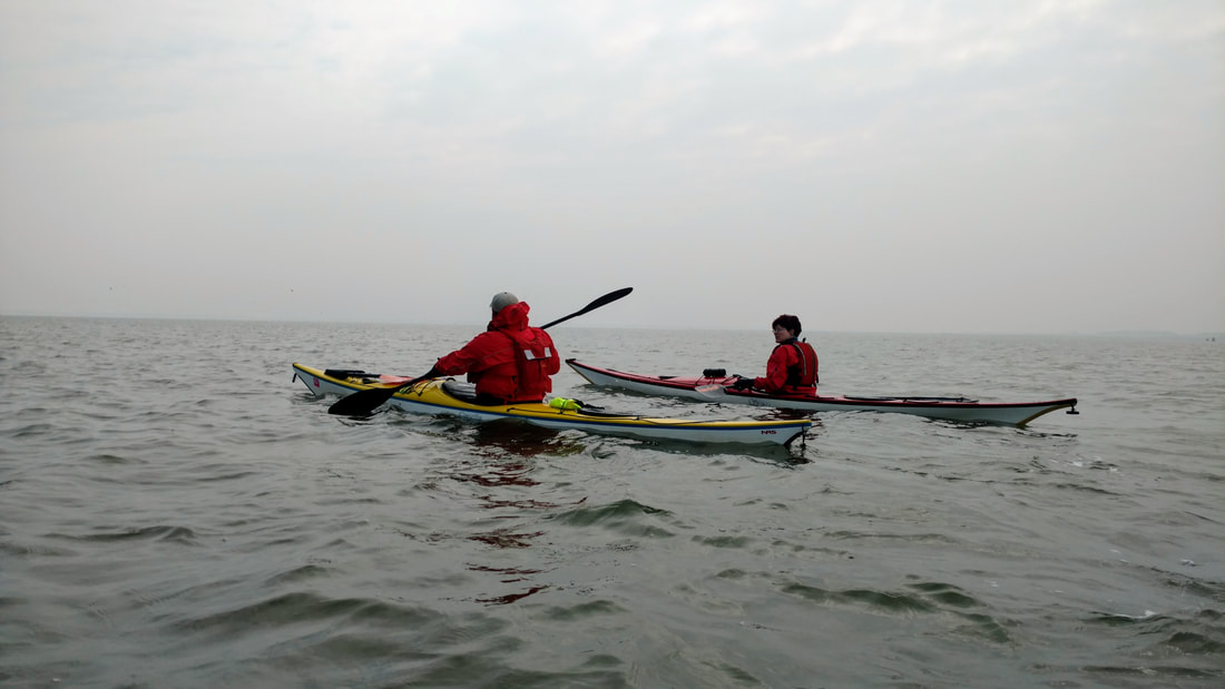
From there we passed a few more tiny dirty yellow buoys, some of which were already lying dry on the sandbar. The tide was going out, so we needed to paddle a bit faster if we were going to make it over the sandbar without getting stuck. But the chart was old, the water became shallower, and our paddles began hitting bottom anyway. Tom was the first to bail, and the rest of us followed. Well, except Iede, of course, because he has a brand new "light" boat and pushed on over the sandbar!
Iede persevering, and managing to make it over the shallow flat, thanks to his new "light" boat ;)
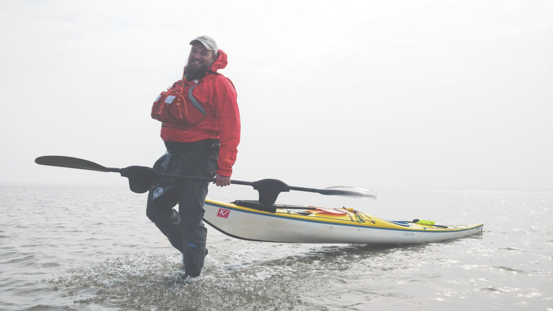
Tom trekking over the sand bar. The picture was a bit dark, but I thought the splashes were cool so I tried to brighten it - hence the strange lighting.
The water was quite cold (more on that in a moment), but the sun was starting to peek through the clouds, and there was almost no wind. It was beautiful! It looked like we were walking on water in the middle of the sea. We towed our boats and made our way across the bar (5 minutes or so). We met Iede in the deeper area on the other side.
A mid-paddle hike

Getting some towing practice with my own kayak
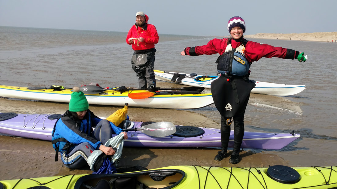
From there we could see the wide dune-backed beach in front of us, stretching in both directions. Thanks to the nice March weather, the beach was dappled in tiny black dots (people) migrating back and forth. Two beach cafes beckoned us, and Berend proposed coffee and apple cake (these things go together in the Netherlands). We all agreed, and happily paddled towards the beach.
Iede basks in the welcome sunshine
As we approached, I had a fleeting feeling that this must be what it's like to be a sea creatures or mermaid. Six kayaks appear through the mist, seemingly out of nowhere, and land on the beach. Some beach walkers watched curiously or took photos of our boats and asked where we'd come from. The wind was picking up, so we quickly grabbed our wallets and walked up to the beach cafe. Lunch and cake and warm drinks ensued!
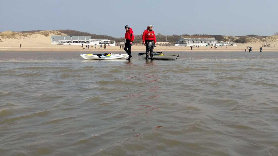
Berend and Tom at the shore as others arrive. Beach cafes in the background.
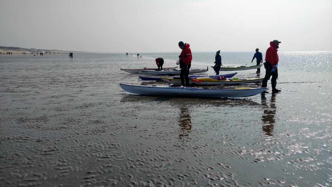
Thanks to an outgoing tide, we didn't need to drag out boats above the waterline
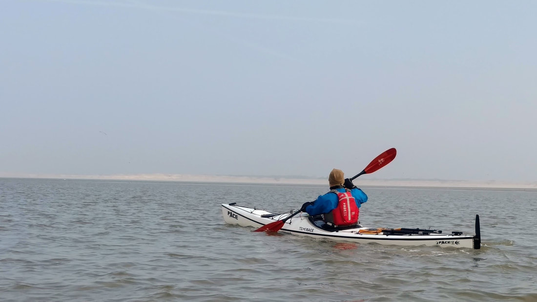
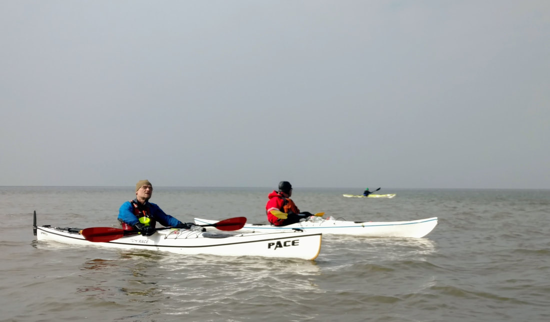
After a relatively short break, we launched back into the sea. We paddled south along the coast, with the wind at our backs. Though we kept a pretty good pace, the wind tossed us side to side, and the waves gradually picked up as we approached our final destination. Some of us tried to do some surfing, which is always fun when the waves are pushing you towards your destination!
The last half hour was a bit suspenseful, because the group began to spread out. Berend, who felt unstable when he paddled slowly in his narrow boat, took off. The tailwind pushed Amelia's boat in all sorts of directions. After initially trying to catch up to Berend, I accepted that I would not be able to reach him and decided to stay close to the rest of the group. I had my towline with me, so I offered Amelia a tow to help her keep her boat on track. She agreed, and my towline and I got some practice, though Amelia made it easy by paddling along with me :)
The last half hour was a bit suspenseful, because the group began to spread out. Berend, who felt unstable when he paddled slowly in his narrow boat, took off. The tailwind pushed Amelia's boat in all sorts of directions. After initially trying to catch up to Berend, I accepted that I would not be able to reach him and decided to stay close to the rest of the group. I had my towline with me, so I offered Amelia a tow to help her keep her boat on track. She agreed, and my towline and I got some practice, though Amelia made it easy by paddling along with me :)
Group shot!
Being goofy, with really cold feet
Pretty sea kayaks on a low tide beach
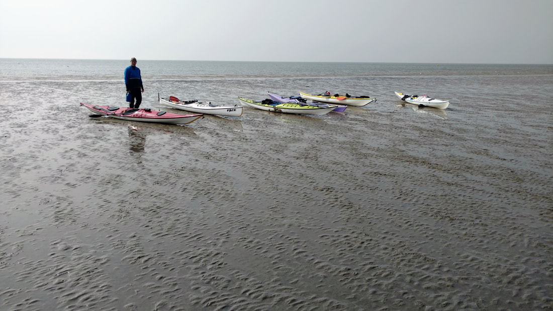
We all arrived back at the harbor in one piece. We changed into warm dry clothes (heavenly), loaded up the boats, and drove back to Rotterdam.
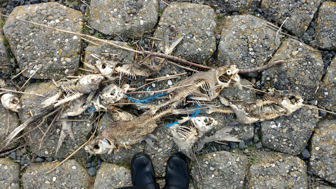
Lots of dead fish at the launch site. Size 8.5 booties for scale.
As I spent some more time thinking about the paddle, it began to dawn on me that what we did was quite dangerous. The observed water temperature at Scheveningen is currently 2.8 deg C (37 F), which is below the norm for this time of year (7C, 45F). I pulled up some familiar water temp vs. survival rate tables (see below), and saw that we fell squarely into the 15-mins-to-loss-of-consciousness category. I'm fairly certain that our group was spread out by at least 10 minutes at a certain point. Wearing wetsuits may have bought us a few minutes, but in retrospect, we were really lucky.
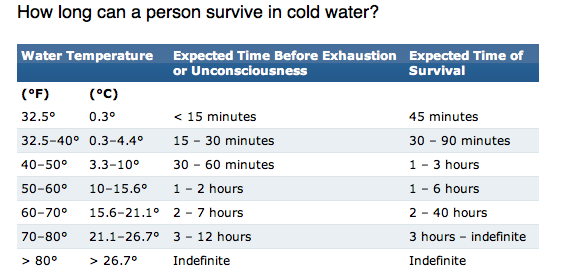
Source: https://www.quora.com/Is-it-a-good-idea-to-swim-in-the-deep-open-ocean-hundreds-even-thousands-of-miles-from-shore
Here are some things I will do differently next time:
None of these precautions are new to me, but it's been a while since I've had to use/rely on them. I'm going to try and be more proactive about them, especially when exposed to cold water or open water!
Safety concerns aside, it was a lovely paddle. I was super sore and tired the next morning, but it was worth every ache and yawn! Let's organize some more fun trips soon!
- Have a discussion before getting on the water about sticking together within speaking/shouting distance, regardless of the circumstances
- Make a hypothetical plan for what would happen if someone capsized
- Review who has group safety gear (radio, towbelts, rescue equipment, spare paddle, etc.) and make sure multiple people know how to use it. Make sure everyone has individual safety gear (bilge pump, PFD, lights, spare clothing, whistle, knife?).
- Emphasize the importance of dressing for the water temperature. In this case we were lucky that everyone more or less took care of this on their own.
- Bring a bilge pump! I realized halfway into the paddle that I still haven't acquired one here in NL. Until now it hasn't really been important, since we're usually close to shore, and in warmer water.
- If for some reason the group does need to split up, stay in groups of 3+, with at least one experienced rescuer in each group.
None of these precautions are new to me, but it's been a while since I've had to use/rely on them. I'm going to try and be more proactive about them, especially when exposed to cold water or open water!
Safety concerns aside, it was a lovely paddle. I was super sore and tired the next morning, but it was worth every ache and yawn! Let's organize some more fun trips soon!
Water Nerd: Maasvlakte 2 and a migrating sandbar
During our paddle, we were relying on a club chart from 2011. Iede commented that the construction of Maasvlakte 2 resulted in accumulation of sand south of the entrance to Rotterdam (where we paddled). Given that this is my line of work, I found this an interesting comment and decided to look into it further!
The Maasvlakte 2 was a 20% extension of the existing Rotterdam harbor, in terms of area. The harbor juts far into the North Sea, giving large ships a place to stop without having to enter the narrower/shallower parts of the harbor. Any time you construct something along the coast that juts out into the water, you disturb the normal flow of sediment along the coast. Along this coast, the dominant direction of sand transport is from southwest to northeast, though on any given day it really depends on the waves and currents. So it would make sense for sand to build up against this side of the Maasvlakte 2. I'm certain it's a lot more complicated than that (it always is). For now I'll let the satellite images do the talking, and I'll let you know if I can find some more details about the morphological changes happening around the harbor. See below for a slideshow of Google Earth images from 1984 to 2016. The Maasvlakte 2 portion of the harbor was built between 2008 and 2013.
The Maasvlakte 2 was a 20% extension of the existing Rotterdam harbor, in terms of area. The harbor juts far into the North Sea, giving large ships a place to stop without having to enter the narrower/shallower parts of the harbor. Any time you construct something along the coast that juts out into the water, you disturb the normal flow of sediment along the coast. Along this coast, the dominant direction of sand transport is from southwest to northeast, though on any given day it really depends on the waves and currents. So it would make sense for sand to build up against this side of the Maasvlakte 2. I'm certain it's a lot more complicated than that (it always is). For now I'll let the satellite images do the talking, and I'll let you know if I can find some more details about the morphological changes happening around the harbor. See below for a slideshow of Google Earth images from 1984 to 2016. The Maasvlakte 2 portion of the harbor was built between 2008 and 2013.
20Date: Sunday, March 25th, 2018
Distance: ~20 km (12.4 miles), but 26 km according to Iede's tracker (e paddles back and forth amongst the group a lot). Thanks to Iede for the GPS points! Drawing the track is trickier when you're in the sea :)
Duration: 5 hours
Weather: Cool (high of 7C/45F), with patches of sun and warm-ish moments (but unpleasant with wet feet!)
 RSS Feed

