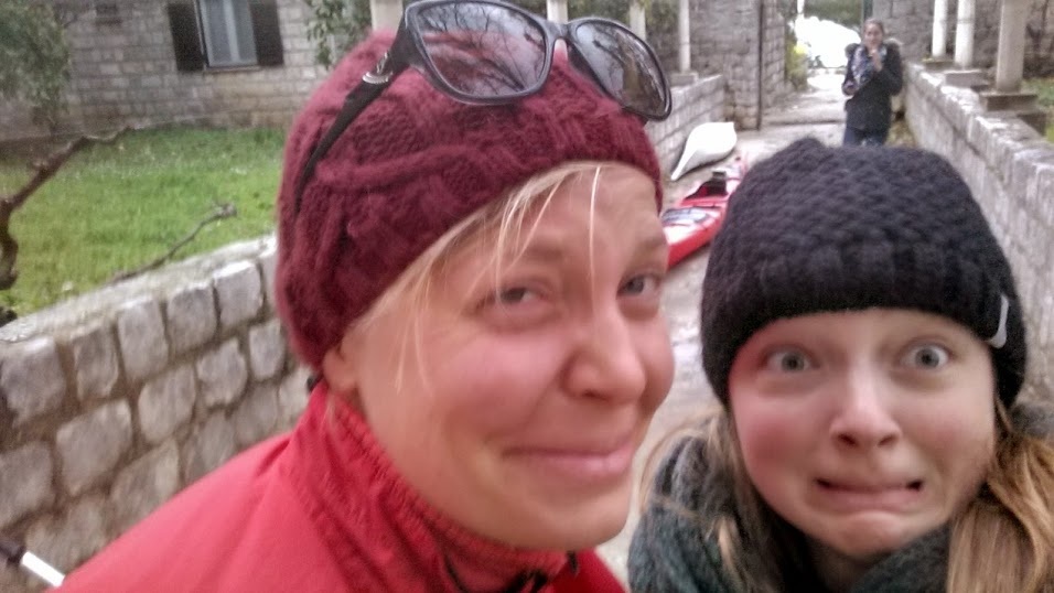
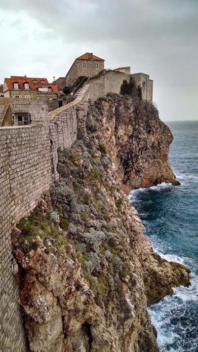
| We knew we were in for a real adventure when Pave held her hand infront of her face, four fingers raised, and warned, "Don't cross the channel today. Very windy and four meter waves!" "4 meters," I thought, "That's not so bad..." until I remembered that I had to multiply by 3 to get to feet. Woah. Sara and I glanced at each other with angst: Our big ambitions to make the crossing to Kolocep Island, one of the 13 Elafiti Islands, were squashed. We would not "discover its blue caves, impressive cliffs and reefs, sandy beaches, romantic villages and pleasant walks," as the rental company had so eloquently described. Click Read More to see where we ended up and some photos of walking around the city walls in the ancient city of Dubrovnik! |
|
2 Comments
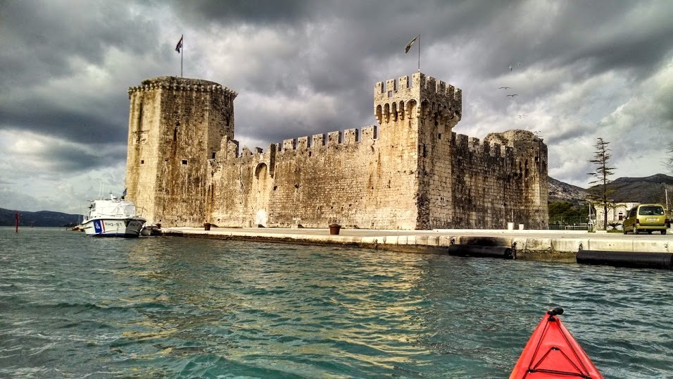
Last week Elizabeth (American roomie in the Netherlands), Sara (outdoorsy traveling buddy from Virginia), and I made an epic road trip across Croatia (known there as Hrvatska - hence the "HR" stickers on all the cars). We started in Zagreb, the capital city, and made our way towards the coast, stopping at Plitvice Lakes National Park (stay tuned) along the way. We managed to kayak twice - once near Dubrovnik and once near Split. Our first trip took us through an ancient city (and a UNESCO world heritage site) called Trogir, ~30 minutes west of Split. Click Read More to see a gallery of photos and write-up of our kayaking adventure through this historic city!
|
Welcome!This is a blog about exploring the outdoors (mostly by kayak), traveling, trip planning, and coastal engineering. It currently focuses on kayaking in the Netherlands and Belgium, but previous posts cover Upstate New York, California, and much more. See the Complete List of Blog Posts for a history of the site. Looking for something specific? Search the site here.
In addition to the blog, check out the Water Nerd section, where I write about coastal engineering and hydrology. Happy Paddling! Nena Subscribe Here!Email updates on new blog posts, about once per month.
Reader TipsClick the "Read More" link at the bottom of each summary for more photos, to see an interactive map of the route, and to read about the adventure.
Maps in each blog post: Click the icons to learn more about the launch site (amenities) and destinations. Click the square in the bottom-left corner to see an aerial photo behind the route. Archives
December 2020
Categories
All
Click the RSS Feed link, copy the URL, and paste it into your favorite feed reader.
|


 RSS Feed

