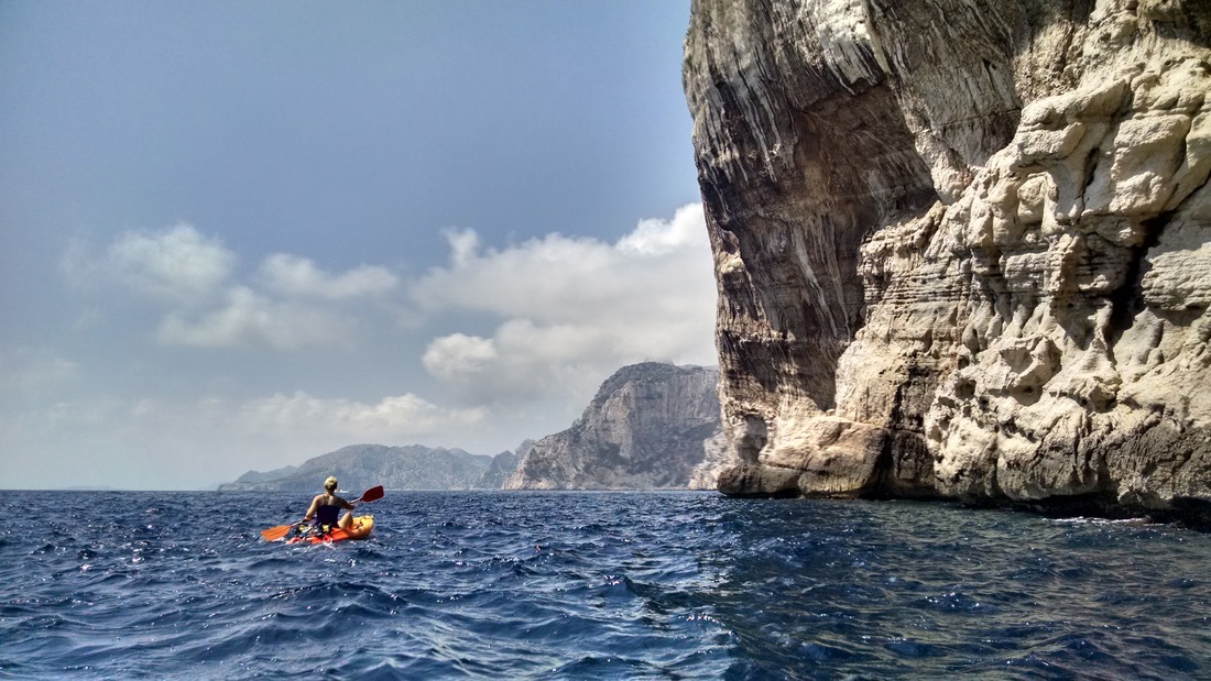
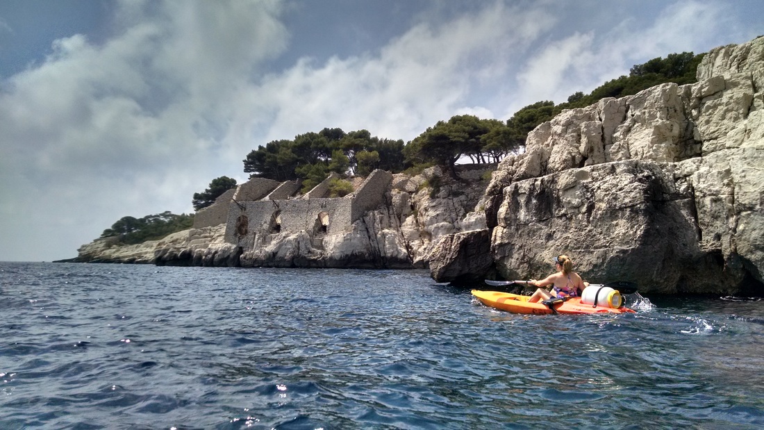
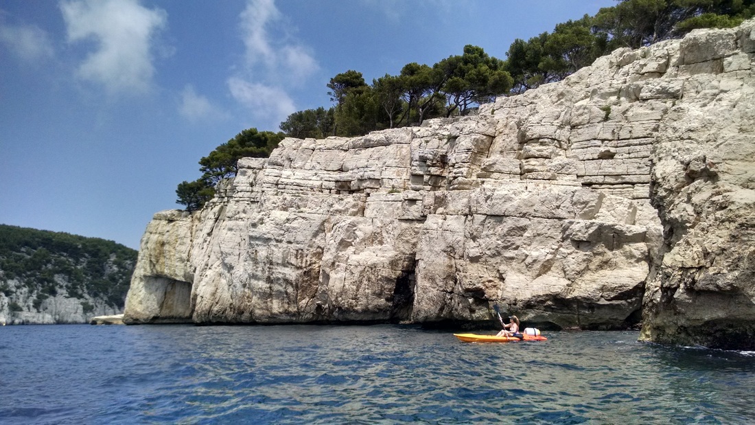
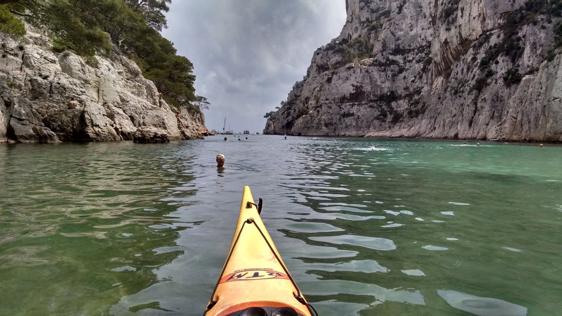
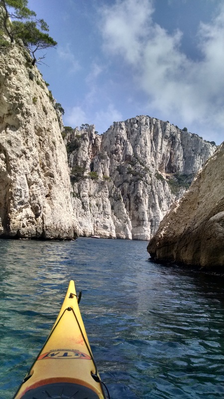
Emily paddling past a typical Calanques limestone cliff.
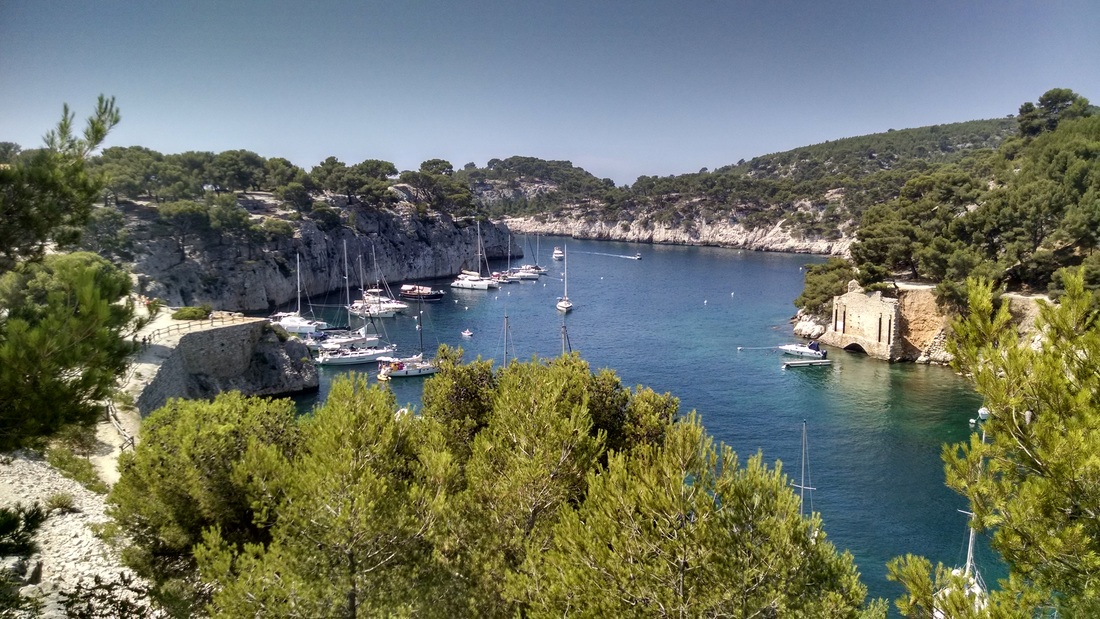
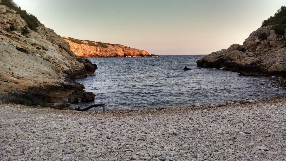
Les Calanques is a 20-km stretch of coast between Marseille and Cassis on the Mediterranean coast of France. The coastline features steep white limestone cliffs interspersed by narrow inlets backed by secluded cobble beaches (only accessible by boat). In July, Emily, Alice, and I went for an afternoon kayaking trip to check out the calanques of Port Miou, Port-Pin, En-Vau, and L'Oule. Click to read more!
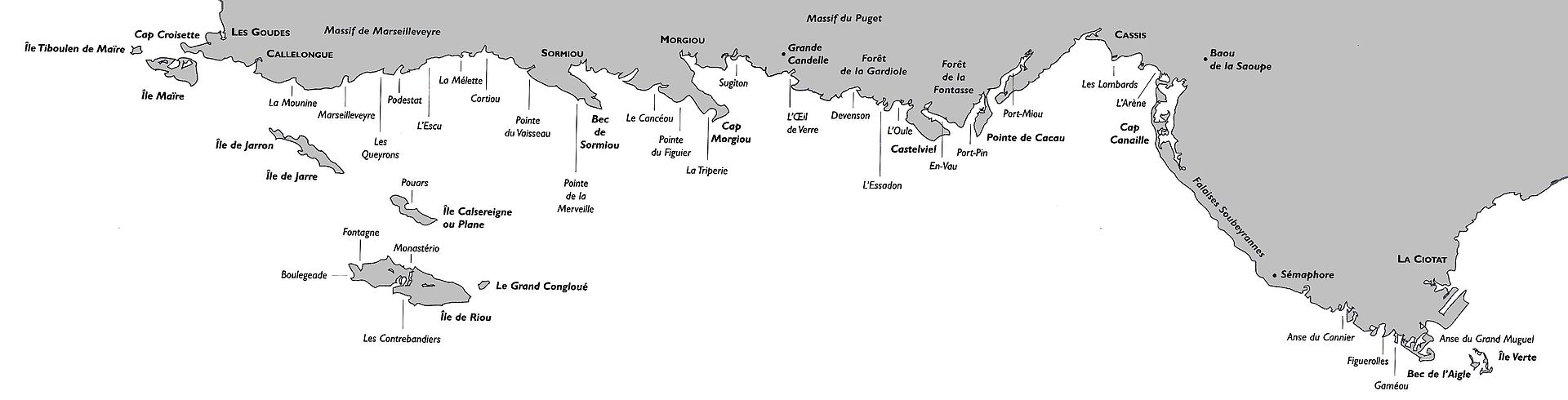
Click to Enlarge! Map of Les Calanques between Marseille and La Ciotat. Source: Wikipedia (https://en.wikipedia.org/wiki/Calanque)
The kayaking part...
After an excruciatingly hot and often crowded 6-weeks of traveling in Spain/France/Italy this summer, I do not recommend visiting these places during peak tourist/cicada/temperature season (July/August). That said, we still managed to have some pretty stellar camping, hiking, culinary, and watery adventures, including this kayaking trip in the Calanques.
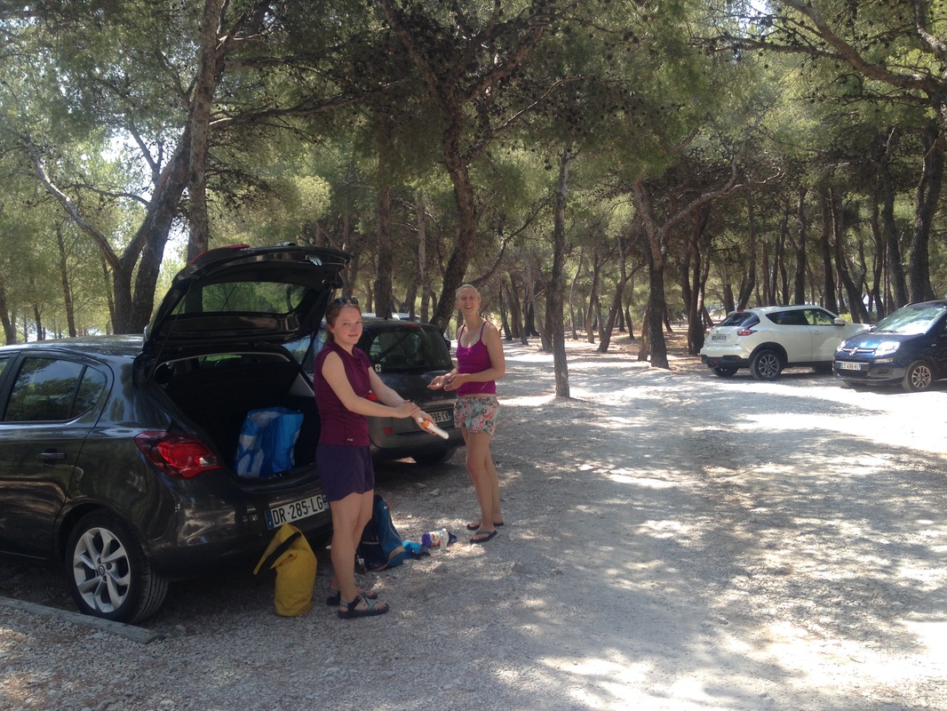
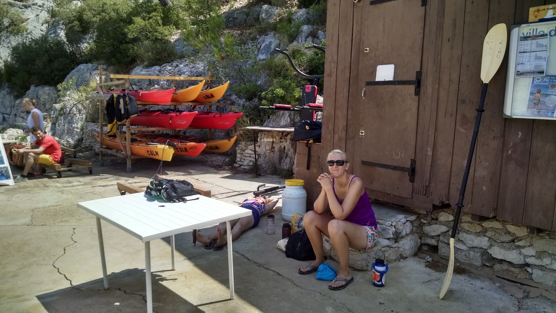
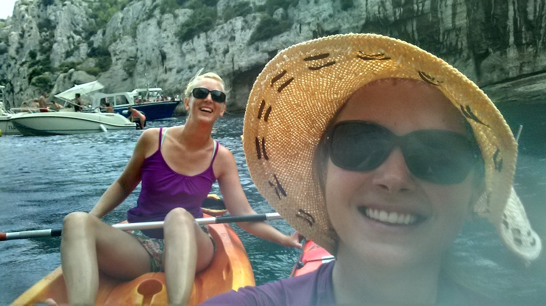
Alice (and her bag, a day later) flew to Marseille in July to meet up with me and Emily for some kayaking and hiking in southern France. Alice had visited Les Calanques back when she studied abroad in Aix-en-Provence, and had always wanted to visit it by kayak. We drove from our Airbnb in Bouc-Bel-Air to Cassis, where we drove around mostly lost until we found ourselves at a parking lot at the end of a peninsula, where the attendants informed us that we could park and rent boats in the adjacent Calanque de Port Miou. Alice, using her excellent (french) flirtation skills and convinced the attendant to help make a reservation (hard to come by in July). When we couldn't find the rental shop (the pamphlet had a completely unhelpful map), the same skills were leveraged to ask the police for directions - another success.
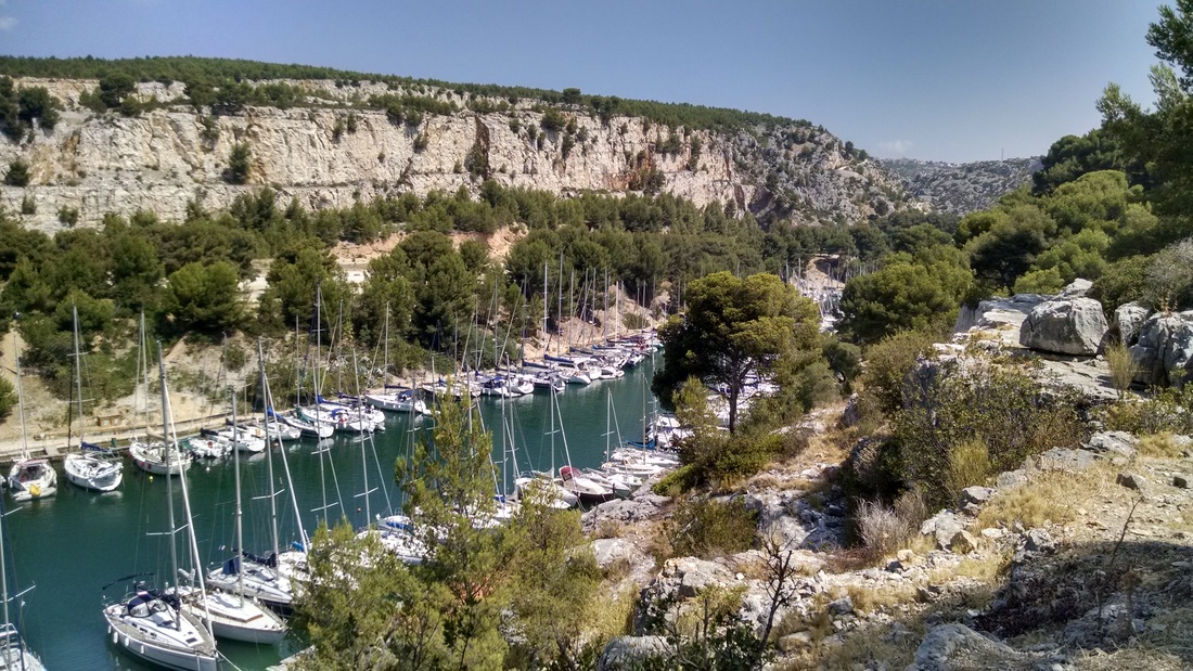
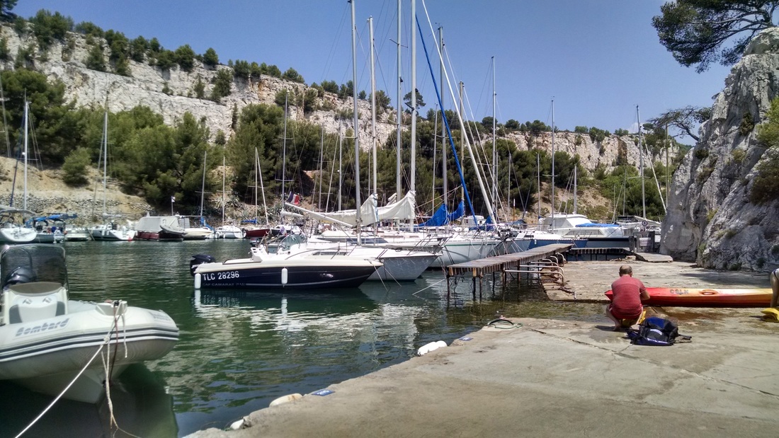
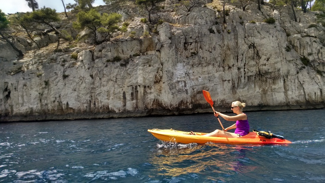
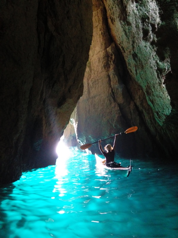
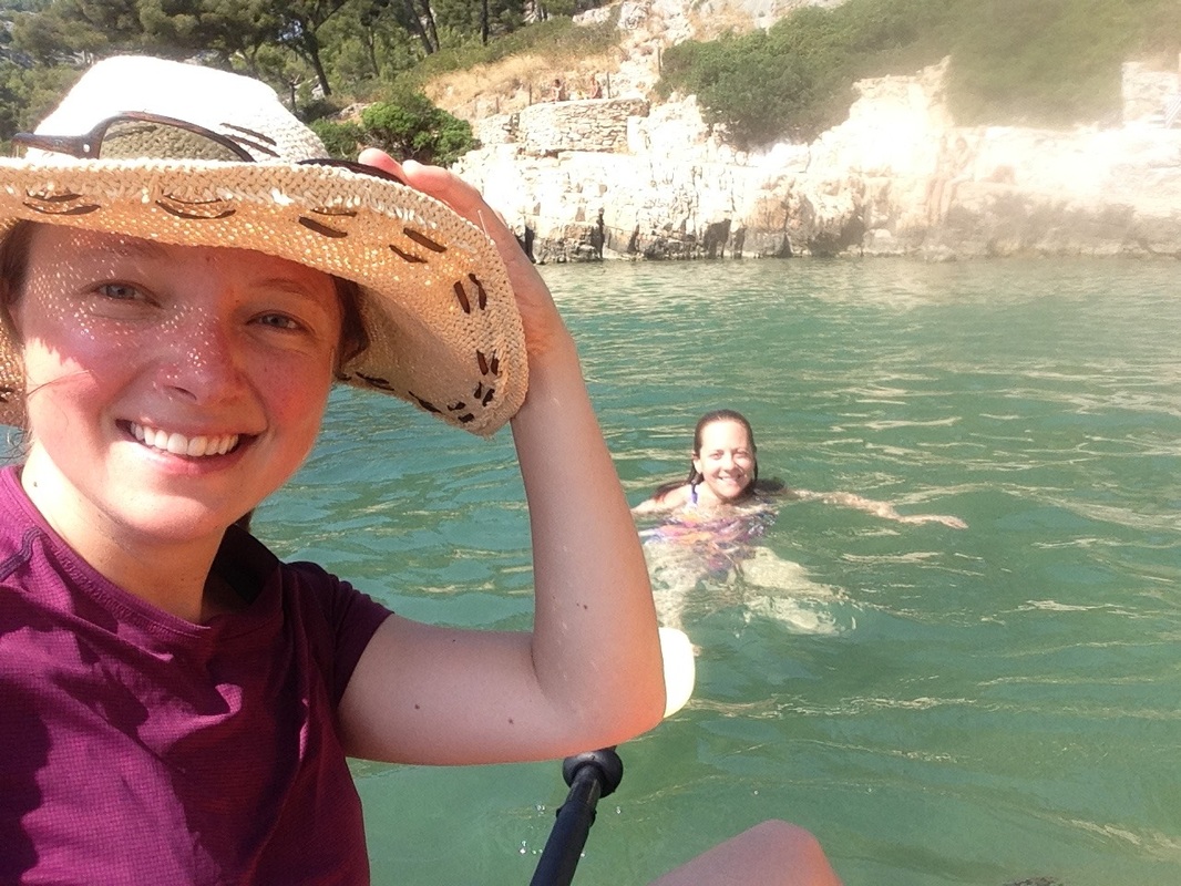
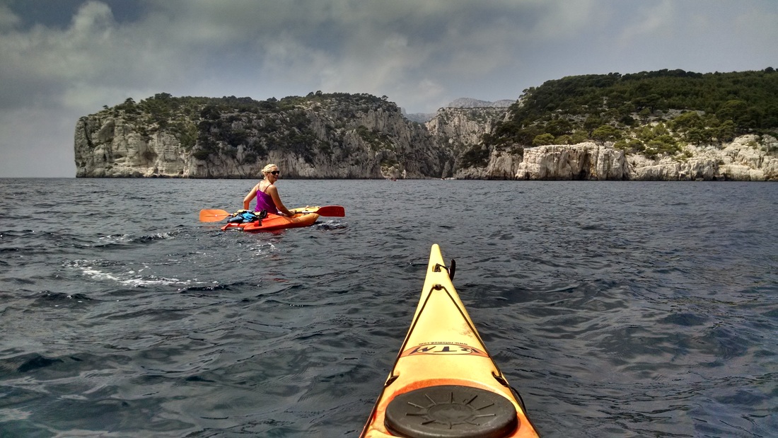
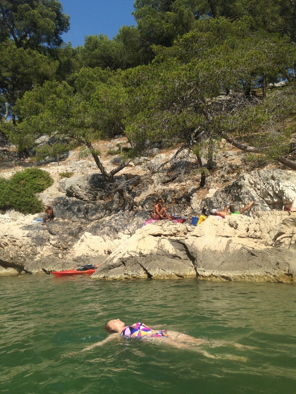
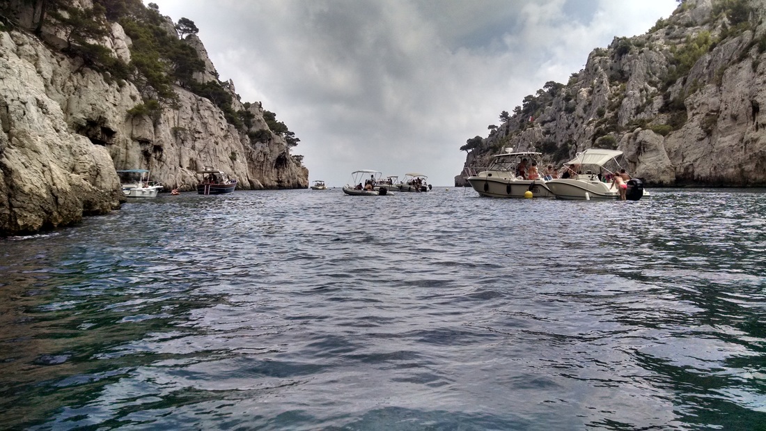
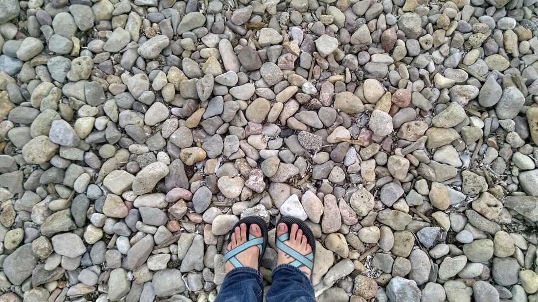
After a bit of a wait, we were able to rent a few boats from Cassis Sport Loisirs Nautiques in Port Miou, where we paid ~25 euros for a 3-hour rental. We convinced them to rent us one sea kayak. The other two boats were short sit-on-tops, which were tough to handle in the windy Mediterranean. We paddled out of the first calanque and checked out two others. At the end of each was a narrow rocky beach, covered in other visitors who had also arrived by boat. Since the water was calm, we also paddled into a couple caves recommended by the rental shop (see map below for location). Emily and Alice hopped out of their kayaks to cool off.
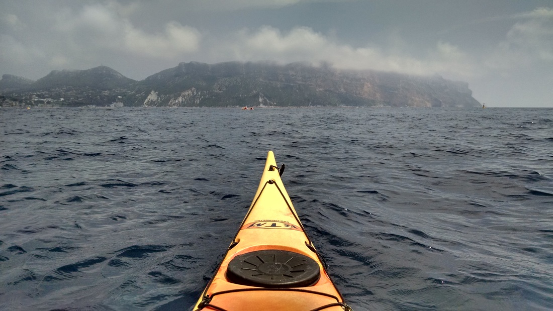
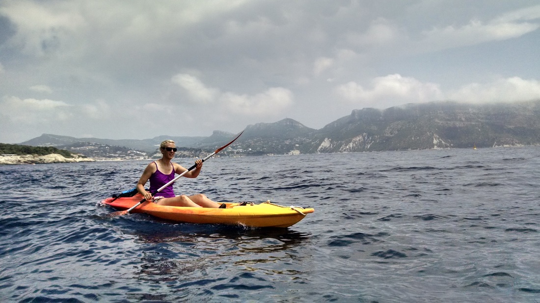
We visited four of the calanques, only scratching the surface of the Calanques region: Port Miou, Port-Pin, En-Vau, and L'Oule, so I hope to come back soon and see the rest! We wrapped up a day on the water with delicious sandwiches and refreshing ice cream from a little food stand near the parking lot. Scroll past the photos to read the nerdy part about how the Calanques came to be!
Alice (and her bag, a day later) flew to Marseille in July to meet up with me and Emily for some kayaking and hiking in southern France. Alice had visited Les Calanques back when she studied abroad in Aix-en-Provence, and had always wanted to visit it by kayak. We drove from our Airbnb in Bouc-Bel-Air to Cassis, where we drove around mostly lost until we found ourselves at a parking lot at the end of a peninsula, where the attendants informed us that we could park and rent boats in the adjacent Calanque de Port Miou. Alice, using her excellent (french) flirtation skills and convinced the attendant to help make a reservation (hard to come by in July). When we couldn't find the rental shop (the pamphlet had a completely unhelpful map), the same skills were leveraged to ask the police for directions - another success.
After a bit of a wait, we were able to rent a few boats from Cassis Sport Loisirs Nautiques in Port Miou, where we paid ~25 euros for a 3-hour rental. We convinced them to rent us one sea kayak. The other two boats were short sit-on-tops, which were tough to handle in the windy Mediterranean. We paddled out of the first calanque and checked out two others. At the end of each was a narrow rocky beach, covered in other visitors who had also arrived by boat. Since the water was calm, we also paddled into a couple caves recommended by the rental shop (see map below for location). Emily and Alice hopped out of their kayaks to cool off.
We visited four of the calanques, only scratching the surface of the Calanques region: Port Miou, Port-Pin, En-Vau, and L'Oule, so I hope to come back soon and see the rest! We wrapped up a day on the water with delicious sandwiches and refreshing ice cream from a little food stand near the parking lot. Scroll past the photos to read the nerdy part about how the Calanques came to be!
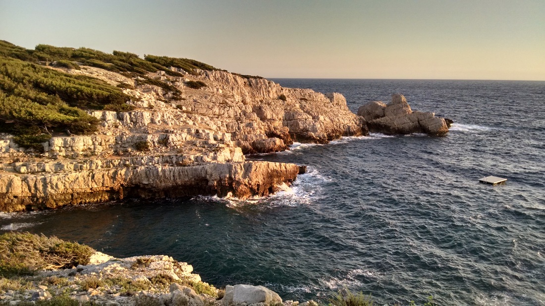
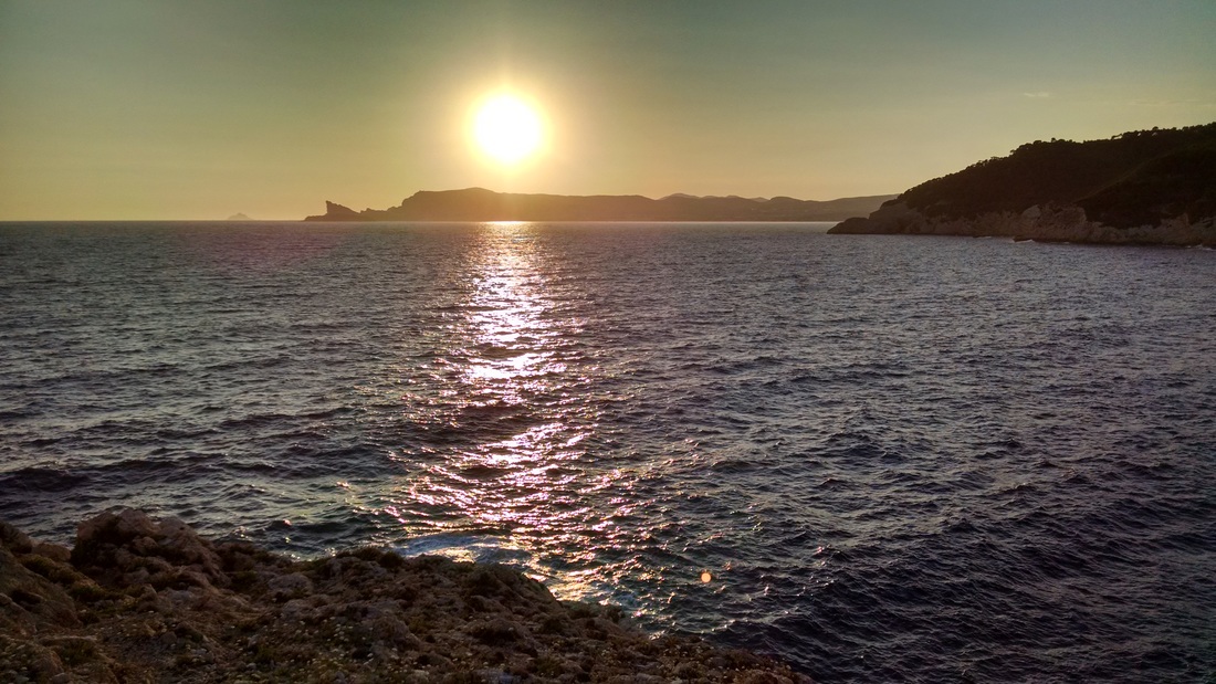
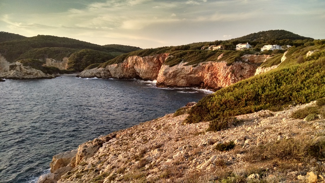
Photos - click to enlarge and see captions!


The nerdy part...
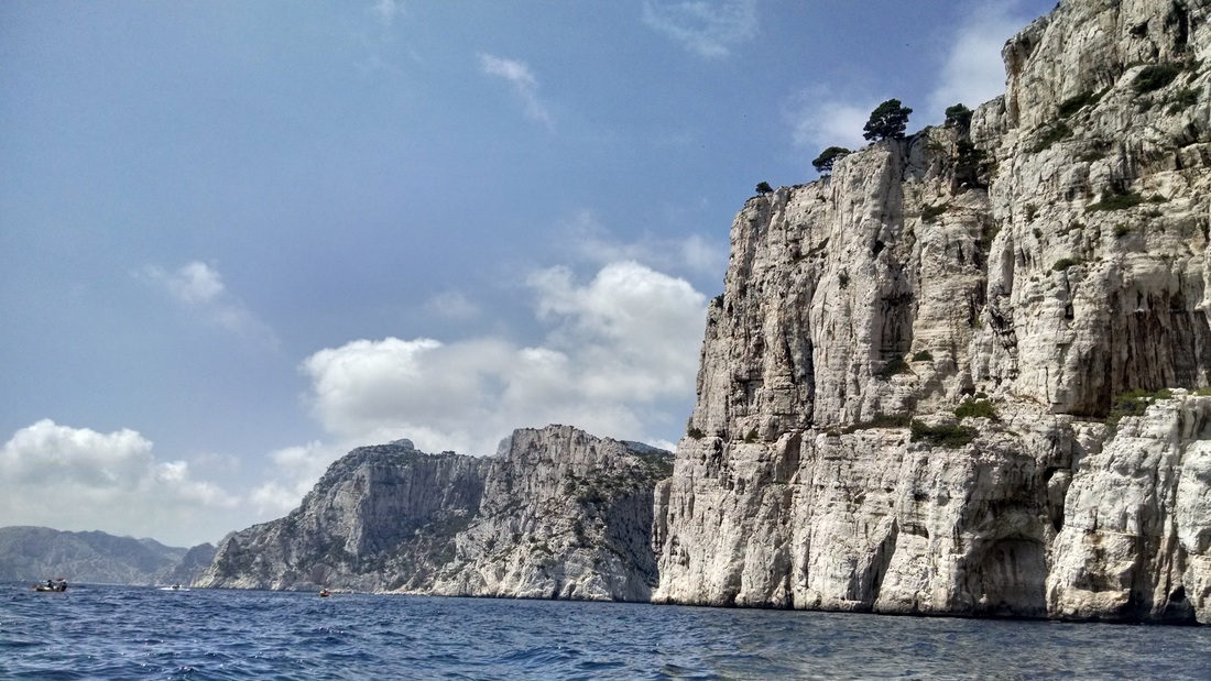
A calanque is a narrow, steep-walled inlet primarily formed by fluvial (river) erosion on steep mountain sides. You can think of them as the fjords of the Mediterranean, but unlike the fjords in Northern Europe, they were not formed by glaciers. Calanques are found in karst structures along the Mediterranean coast that have evolved with tectonics and were submerged after the last ice age (18,000 years ago). Karst is defined as an irregular limestone region with sinkholes, underground streams, and caverns. Since they were submerged, the calanques extend into the sea as underwater valleys. In the early 1990s, divers discovered the Cosquer Cave, whose entrance is located 40 m below current sea level. The long entrance leads to two large underground caverns, whose walls are covered in prehistoric charcoal drawings and engravings depicting the horses, ibex, bison, aurochs, antelopes that existed on the 15 km of plains that extended from the calanques before the sea level rose (~120 meters). We didn't visit this cave, but we did kayak into a couple other small caves whose entrances are at sea level.
The porous limestone, limited rainfall, and almost non-existent soil make Les Calanques a harsh environment for plants (resulting in the barren-looking bright white cliffs). Even so, over 900 plant species exist in this relatively-small region. Les Calanques were declared the 8th National Park in France in 2012, in response to increasing human pressures (over fishing, human-caused wildfires, and pollution). Its only one of 3 national parks (in the world) that borders a major city.
The porous limestone, limited rainfall, and almost non-existent soil make Les Calanques a harsh environment for plants (resulting in the barren-looking bright white cliffs). Even so, over 900 plant species exist in this relatively-small region. Les Calanques were declared the 8th National Park in France in 2012, in response to increasing human pressures (over fishing, human-caused wildfires, and pollution). Its only one of 3 national parks (in the world) that borders a major city.
Date: Wednesday, July 22, 2015
Duration: 3 hours?
Distance: 10 km (6.2 miles), maybe a bit less
Weather: Sunny and warm!
Duration: 3 hours?
Distance: 10 km (6.2 miles), maybe a bit less
Weather: Sunny and warm!
 RSS Feed

