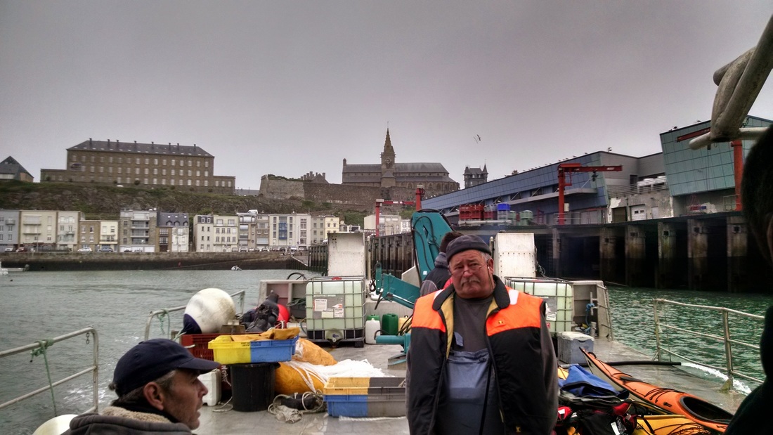
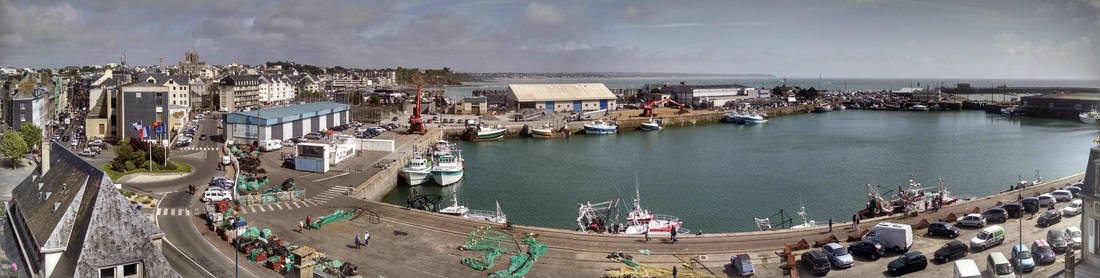
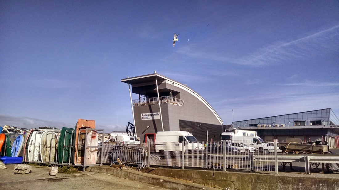
It's always been one of my dreams to ride along on a fishing boat and see fish being caught first hand. I just never expected this dream to manifest itself during one of my sea kayaking trips. This weekend it was accidentally realized when we found ourselves on a big fishing boat (sea kayaks on top), plowing through the waves of the English Channel towards Les Iles Chausey - a beautiful archipelago (52 islands at high tide, 365 at low tide) about an hour boat ride from Granville in Normandy.
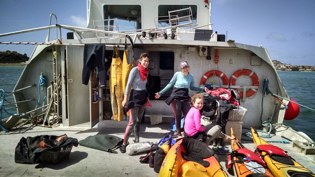
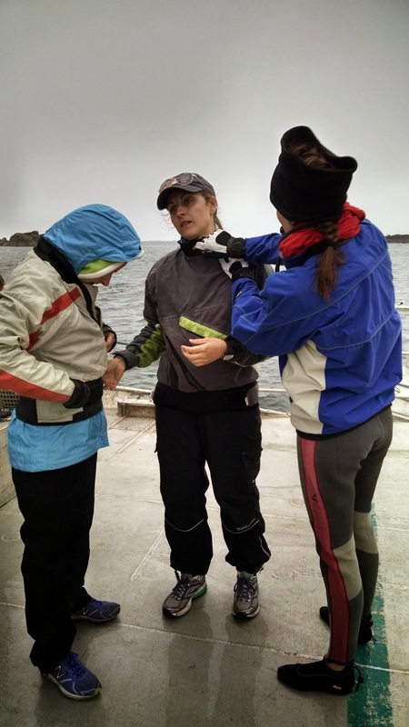
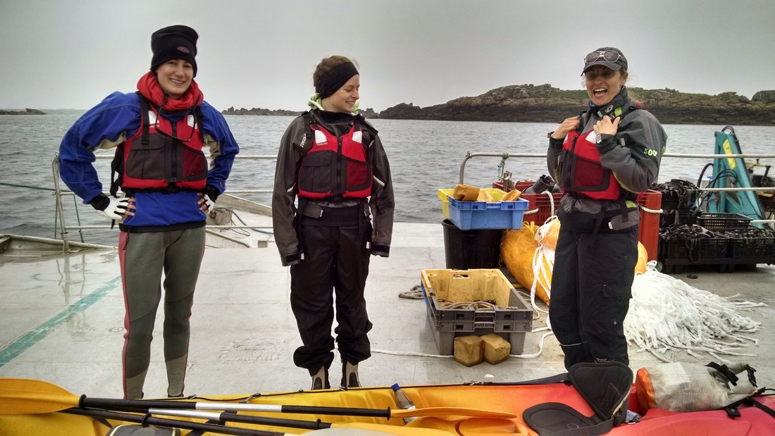
The Netherlands has a ridiculous number (5) of holidays in May, including two 4-day weekends. Elizabeth, Toni, Cecilia, and took advantage of one of these weekends to take a road trip to Normandy. On Saturday (day 4) we arrived in Granville at 8am to meet Ian, sea kayaking guide and fisherman. He runs a business called Sea Kayak France (doesn't appear to exist anymore as of Feb 2018). that takes people on kayaking trips all through Normandy, including Mont Saint Michel! Apparently he arrived in Normandy over 20 years ago and ended up here somewhat by accident. He has approximately 6 really nice sea kayaks and also 6 double sit-on-tops. He also provides all the additional gear (PDF, spray jacket, wetsuit, sprayskirt, paddle, dry bags - he even provided us a radio, GPS, and medkit). Though most of this gear is rather worn, it is high quality and super convenient that we didn't have to lug our own gear from the Netherlands.
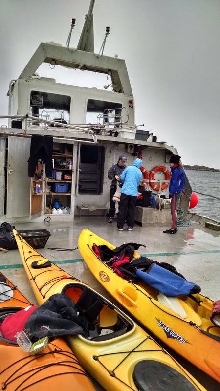
Once the tide had lowered enough so that the dock was no longer submerged, we followed Ian's van, which was towing three kayaks, to the end where the boat was moored.
Once the tide had lowered enough so that the dock was no longer submerged, we followed Ian's van, which was towing three kayaks, to the end where the boat was moored.
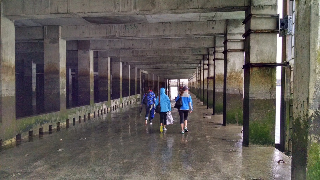
Walking down the dock towards the fishing boat.
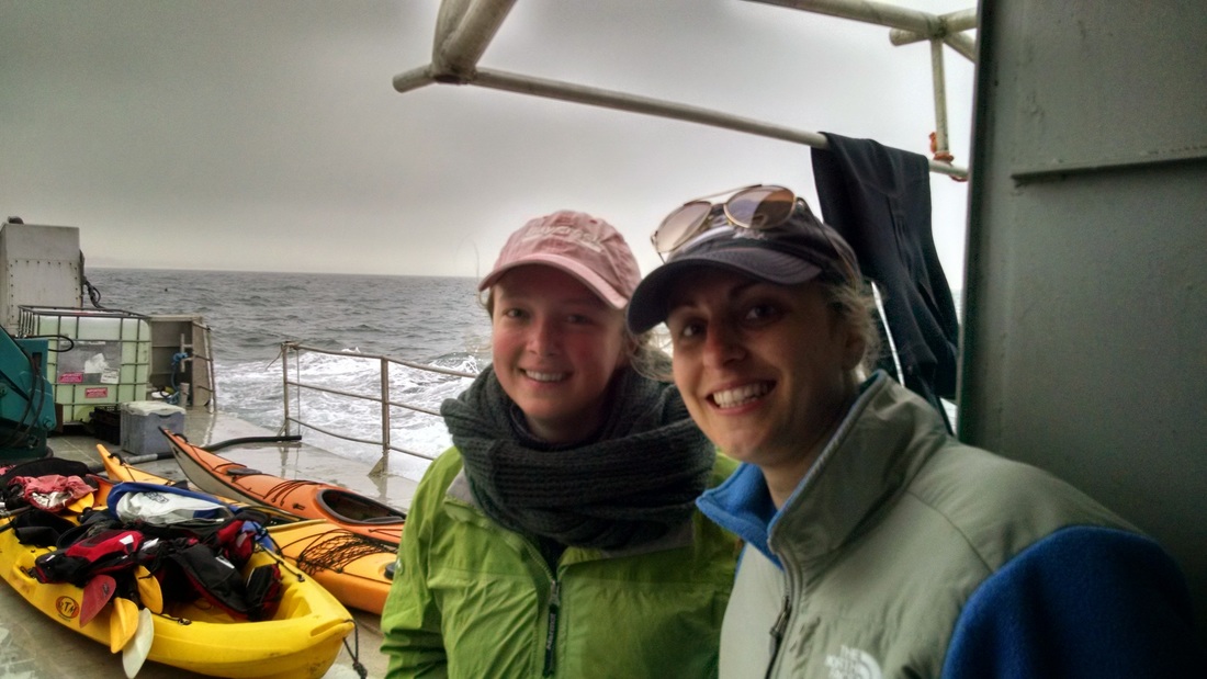
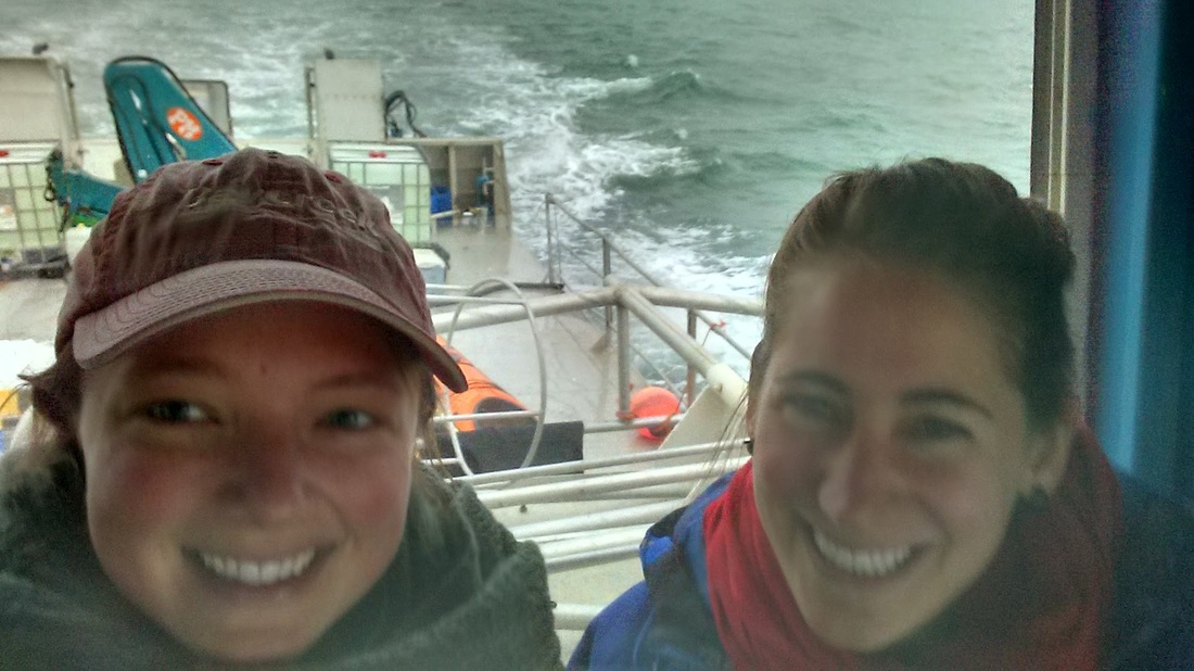
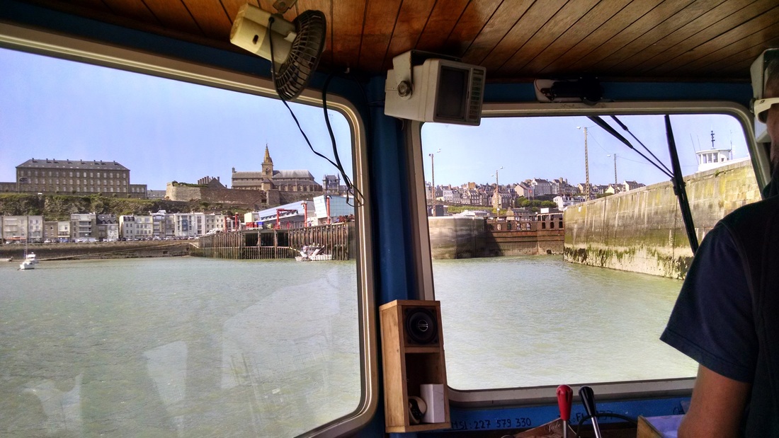
On the boat, we were led to a small kitchen, equipped with a gas stove and table. We reorganized our gear and familiarized ourselves with the toilet, which flushed using a hose. A few other french fishermen arrived before the boat departed, en route to the islands! It was quite chilly and foggy/drizzly, but we were assured it would clear up by the afternoon. Toni french braided Elizabeth and Cecilia's hair, much to the confusion of others on board: "Sorry, we're not used to that sort of thing on here...". Everyone loaded up into the bridge, where we were sheltered from the wind and had a good view of the oncoming waves. Elizabeth was very intrigued by the radar screen, which shows where underwater islands are located (that would appear at a low tide). Pop music played on the radio (Sea FM!), and Ian had to regularly squeegee the fog off the windows. It was very relaxing on our cushions, gently bouncing up and down on the waves. They asked if we could navigate in the fog and pretended to give us the old compass attached to the boat. The driver first checked it with a compass on his iPhone 6. Apparently satisfied, he returned his feet do the dashboard and continued Snapchatting (for some reason this is not what I imagine when I think of fishermen). :)
I turned to Elizabeth/Toni/Cecilia to ask if anyone had told anyone where we were going. No one could remember how we had found out about this kayak rental, and we hadn't shared the Google spreadsheet with anyone. Cecilia texted her mother in California, after which we lost cell phone service. Minor panic moment. But I'm here writing this blog, so you can be assured that made it back alive.
I turned to Elizabeth/Toni/Cecilia to ask if anyone had told anyone where we were going. No one could remember how we had found out about this kayak rental, and we hadn't shared the Google spreadsheet with anyone. Cecilia texted her mother in California, after which we lost cell phone service. Minor panic moment. But I'm here writing this blog, so you can be assured that made it back alive.
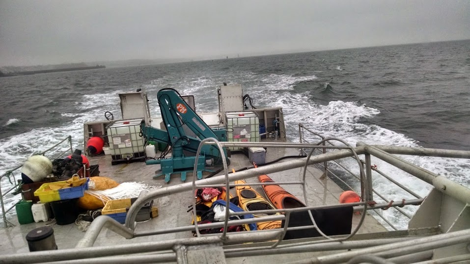
View from the bridge, leaving Granville and heading into the fog.
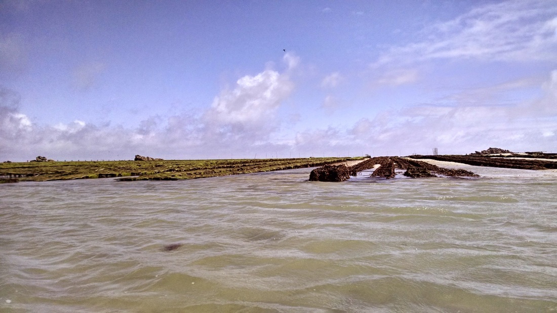
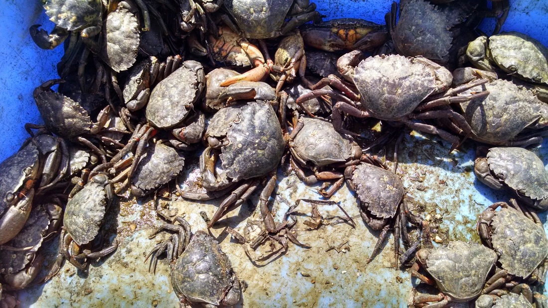
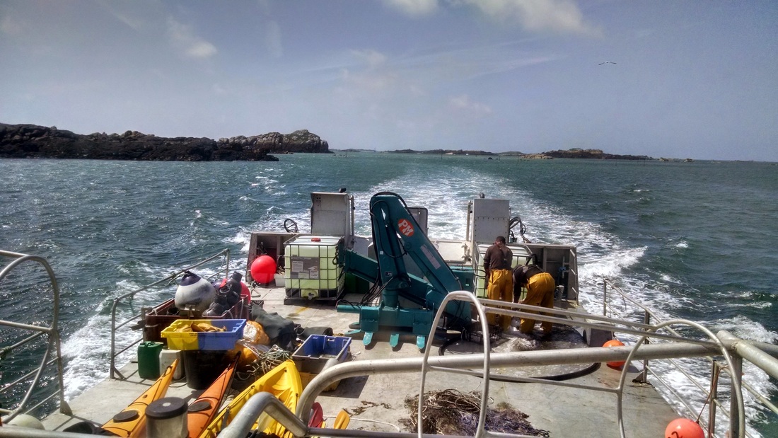
Ian and his partners grow mussels and oysters (and some other shellfish) in between the islands at Chausey. On this particular day they were preparing for a shipment of baby mussels, which would be arriving the next day on strings totaling 10 km in length. Sometimes they also catch other treats for their own consumption, and in May the cuttlefish (kind of like a squid) arrive. It was still foggy when we arrived at the islands, so Ian offered to let us join in emptying some cuttlefish traps and other nets. The movie below shows them emptying one of the cuttlefish traps. Once the trap was returned tot he water, Ian moved some of the fish to a second bin - watch closely as they immediately change color to match the darker color of the second bin. They are masters of camouflage! The females have much longer tentacles, which wrapped around and suction cupped to our fingers when we touched them. They keep white milk bottles in the traps (to mimic cuttlefish) to attract more fish.
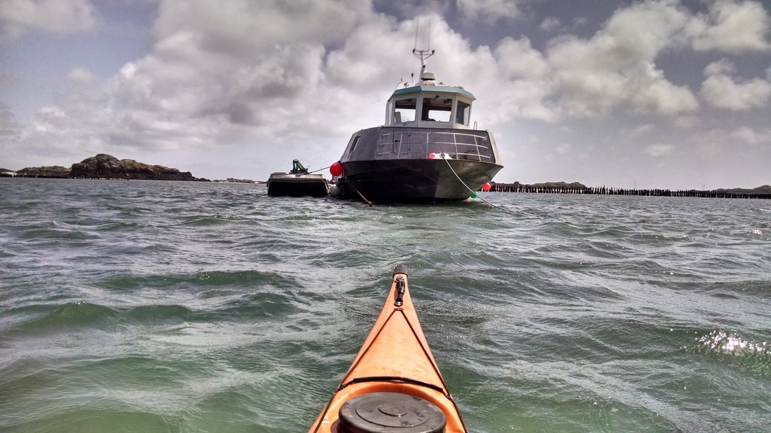
Next, we picked up the "expert fisherman" at the big boat. He helps Ian and his partner place nets in strategic locations around the oyster and mussel beds to capture fish who prey on the shellfish. Then, they use the fish caught in these nets as bait to capture crabs, which also like to snack on the mussels. One more strategy to prevent predation is to place black plastic cones at the bottom of the mussel "towers" to prevent crabs from being able to reach the mussels. The mussel towers (which you can see in the kayaking photos towards the end of this post) are incredibly tall due to the 14 meter tides present in this region. It struck me that with such large tides you have a much larger vertical distance where you can grow shellfish. In San Francisco Bay I worked on an oyster restoration project where the tide range was only ~2 meters. Since shellfish like to be wet most of the time and try once in a while, they have to be located at an elevation within this tide range. That means that when the tide range gets larger, they have more choices about where to grow along a vertical pole (for example).
Below is a slideshow with photos from the fishing portion of our trip:
Below is a slideshow with photos from the fishing portion of our trip:
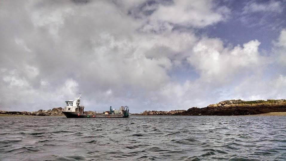
The fishing boat from afar.
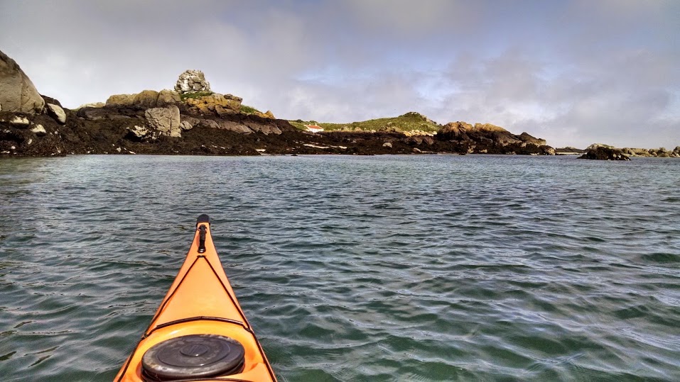
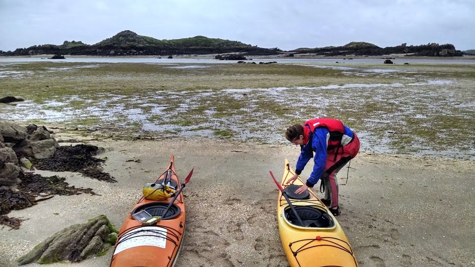
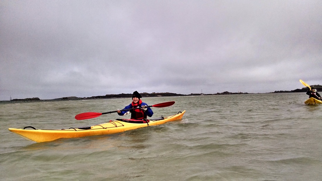
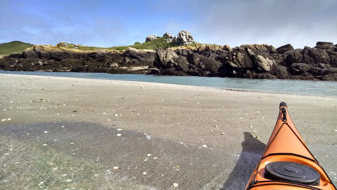
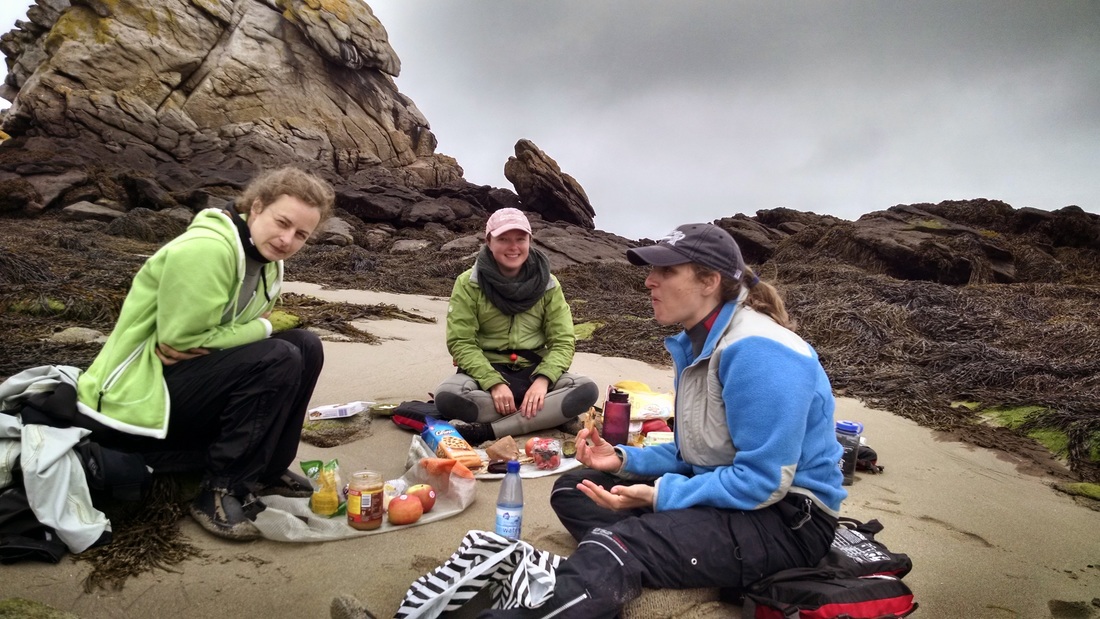
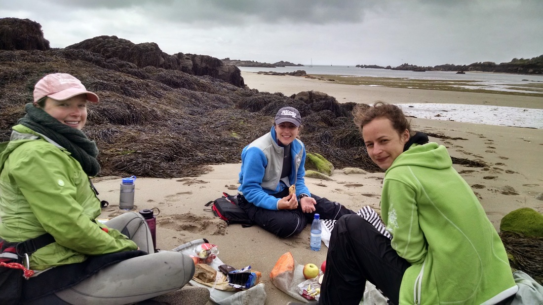
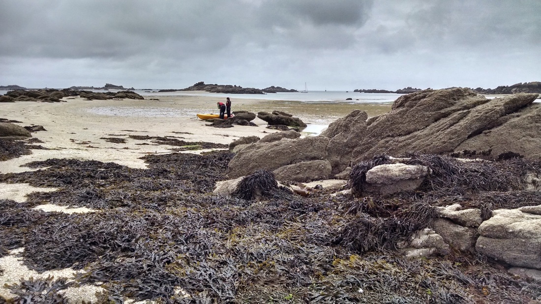
When we returned to the main fishing boat the fog had started to lift and we loaded up our kayaks for a day on the water. Toni and Cecilia took a double sit-on-top and Elizabeth and I were in sea kayaks. We paddled down wind towards one of the tallest islands (one of the 52 that is always visible, regardless of the tide). The island is home to two small cabins, which were boarded up this time of year. We continued a bit farther to another island where we beached our kayaks and found a sheltered lunch spot. Giant picnic commence.
Small cabins on the big green island.
After lunch, we took a walk around the island. This required walking down a slope completely covered in a bed of kelp(?) and other seaweed. This was not Elizabeth's favorite activity. Toni started a shell collection - the shells were so flat that she planned to use them as coasters.
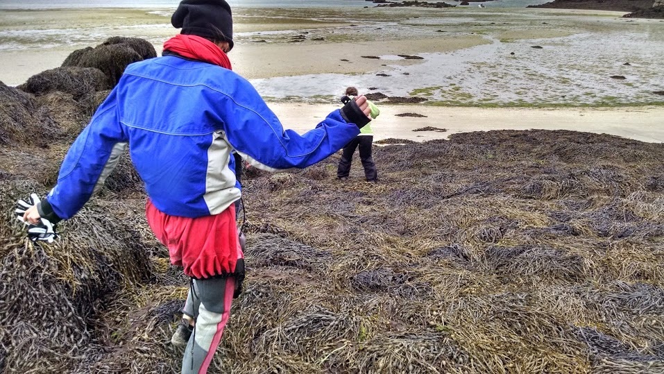
Walking down a hill of seaweed.
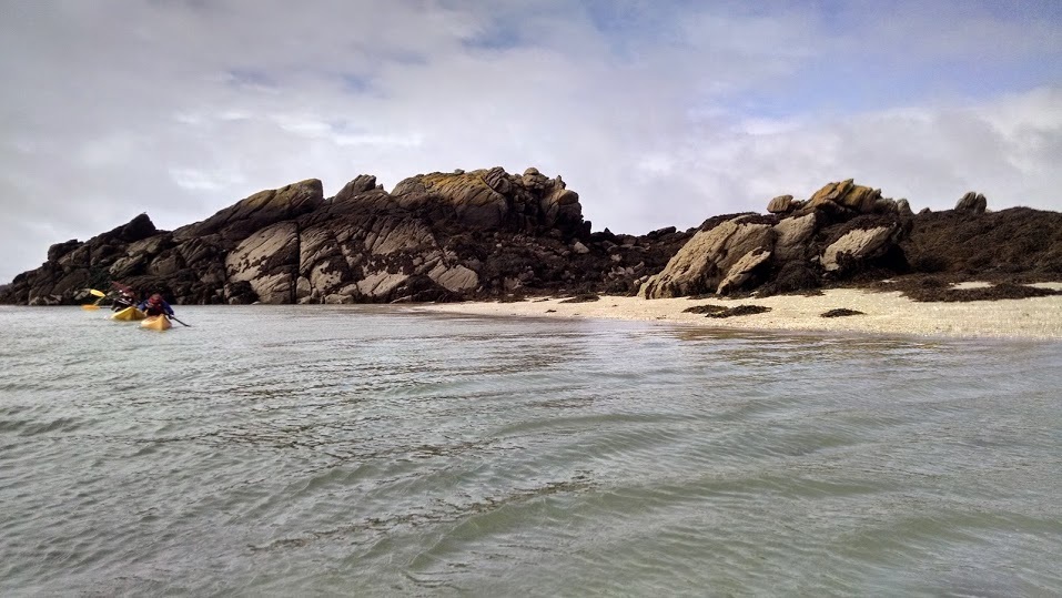
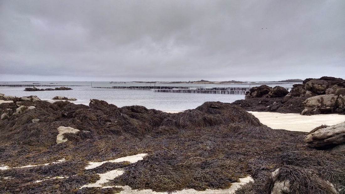
By the time we returned to our kayaks, the tide had lowered significantly, and we had to carry our boats across a wide sand flat.
Our boats started just next to the water. This is what we had to walk across after our 30 minute lunch!
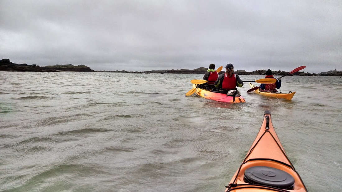
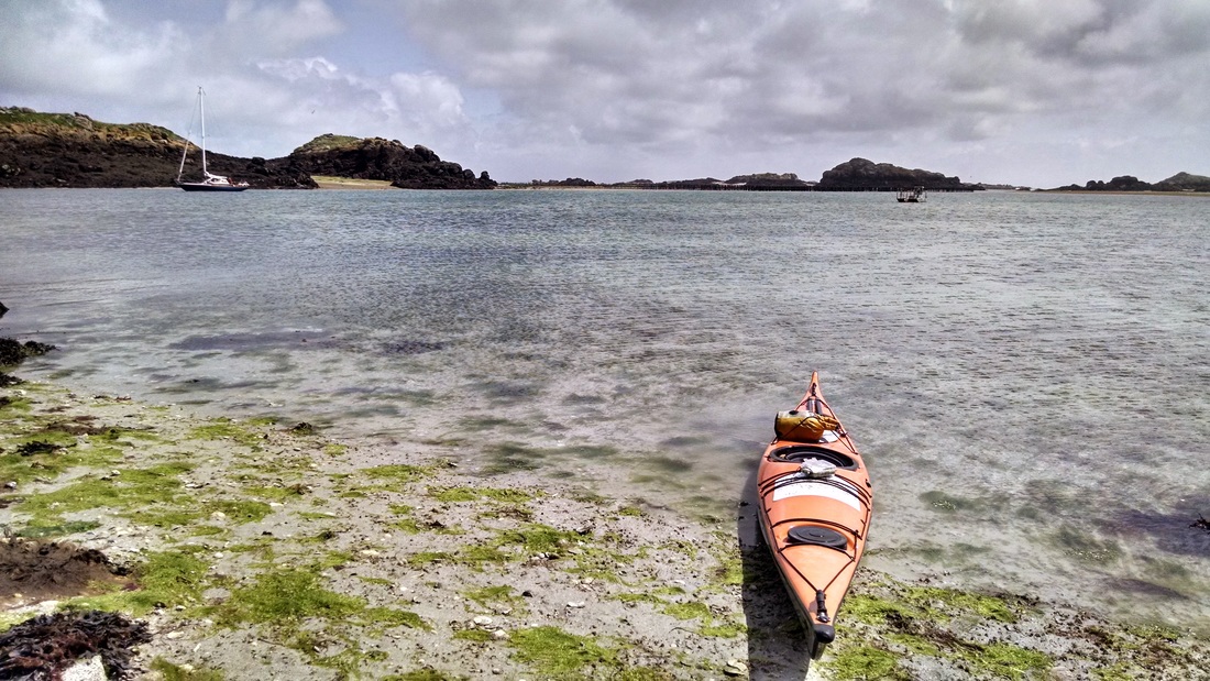
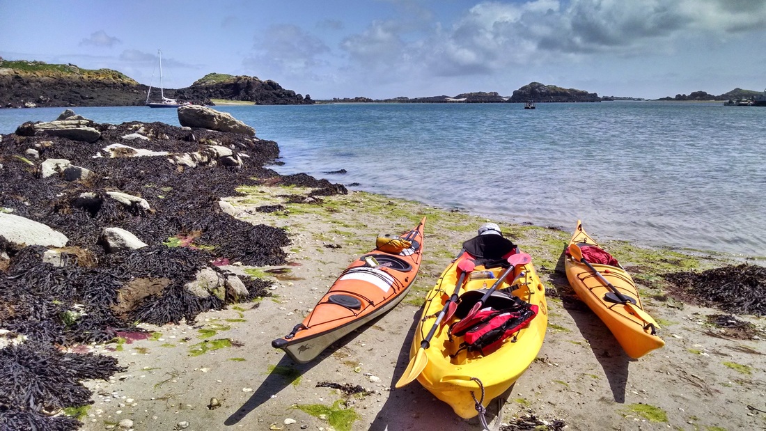
The paddle back towards the fishing boat was upwind and pretty tough. Toni and Cecilia had the roughest time of it, as their double sit-on-top acted like a heavy raft with a giant sail. With so many islands, we were afraid of losing our way back to the fishing ship, so we kept returning to it between little trips in other directions. We passed the towers where the mussels were growing:
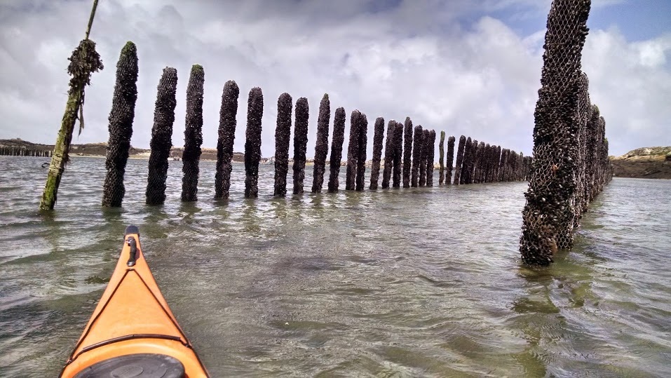
Mussel farming towers. The mussels are raised on strings until they are a certain age, at which point they are wrapped around towers like these.
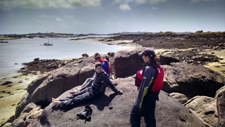
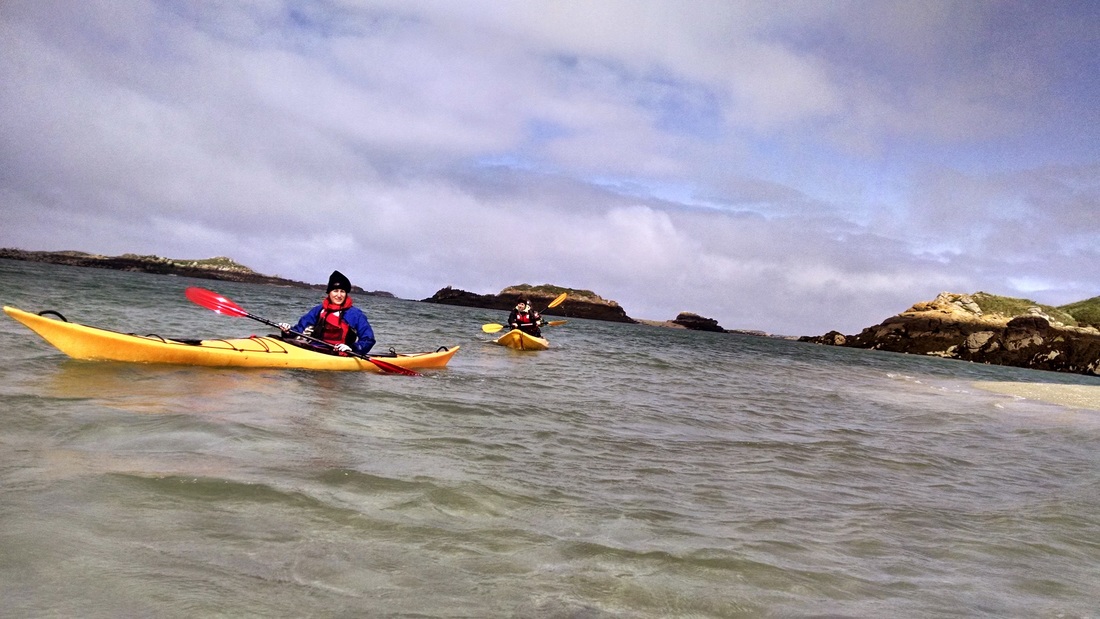
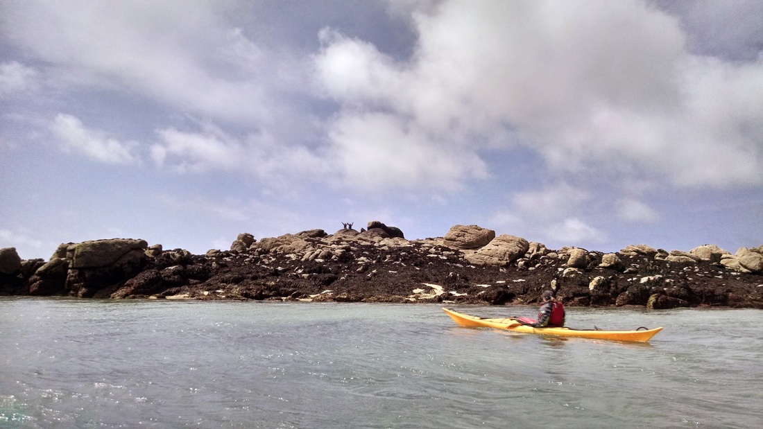
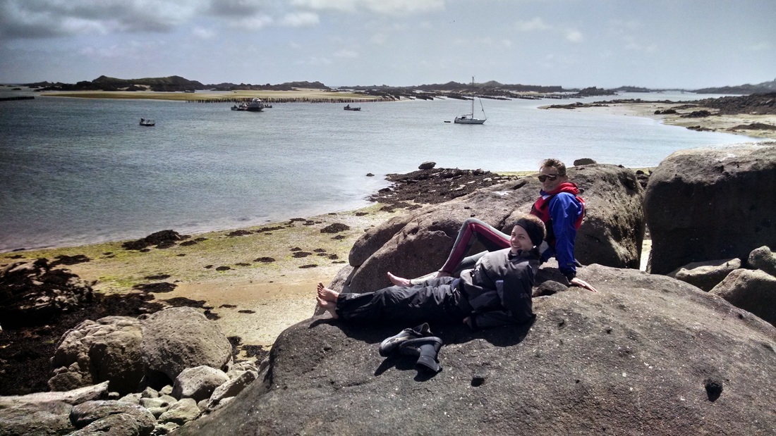
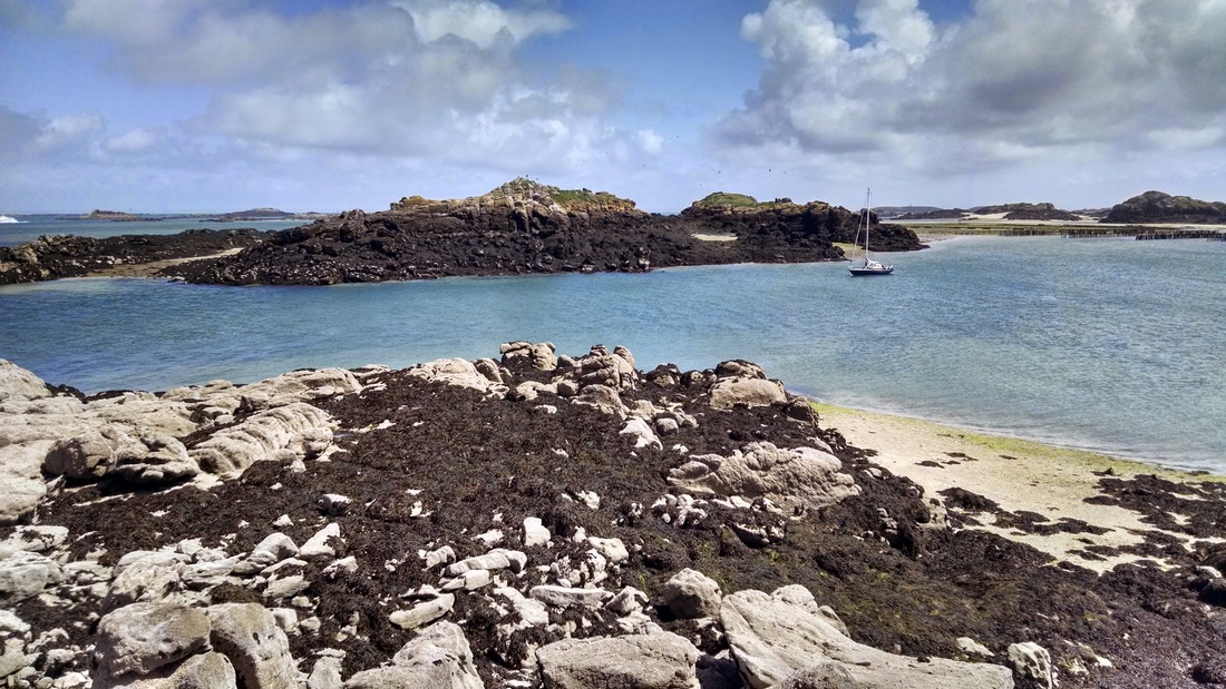
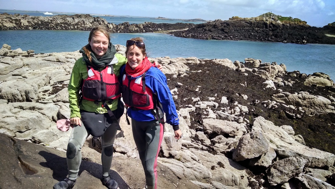
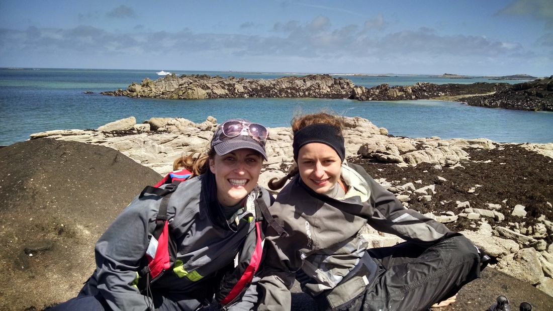
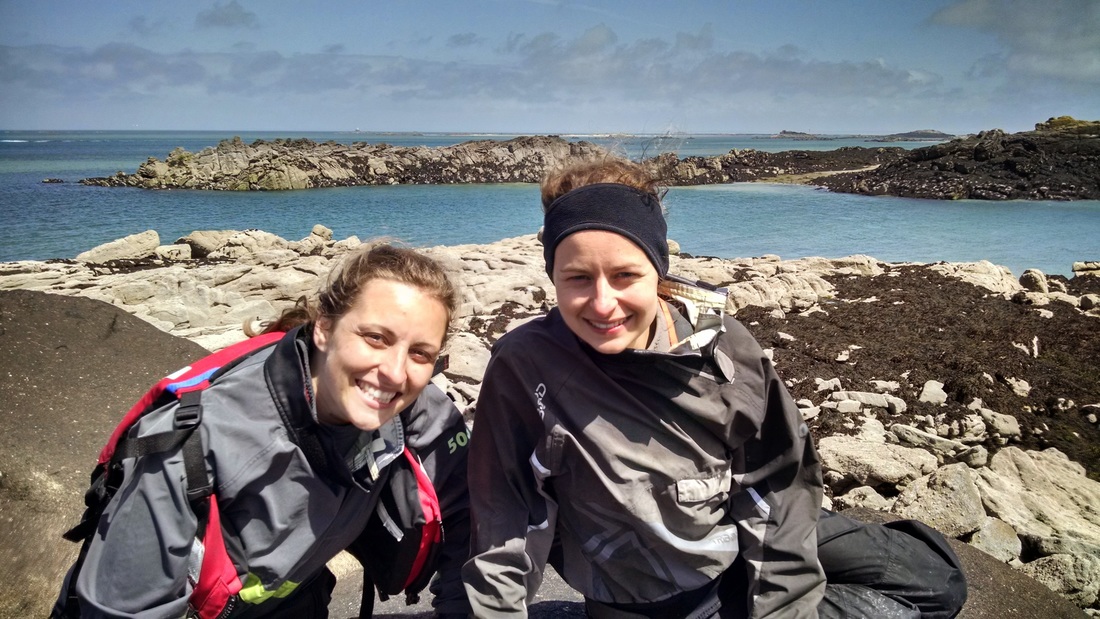
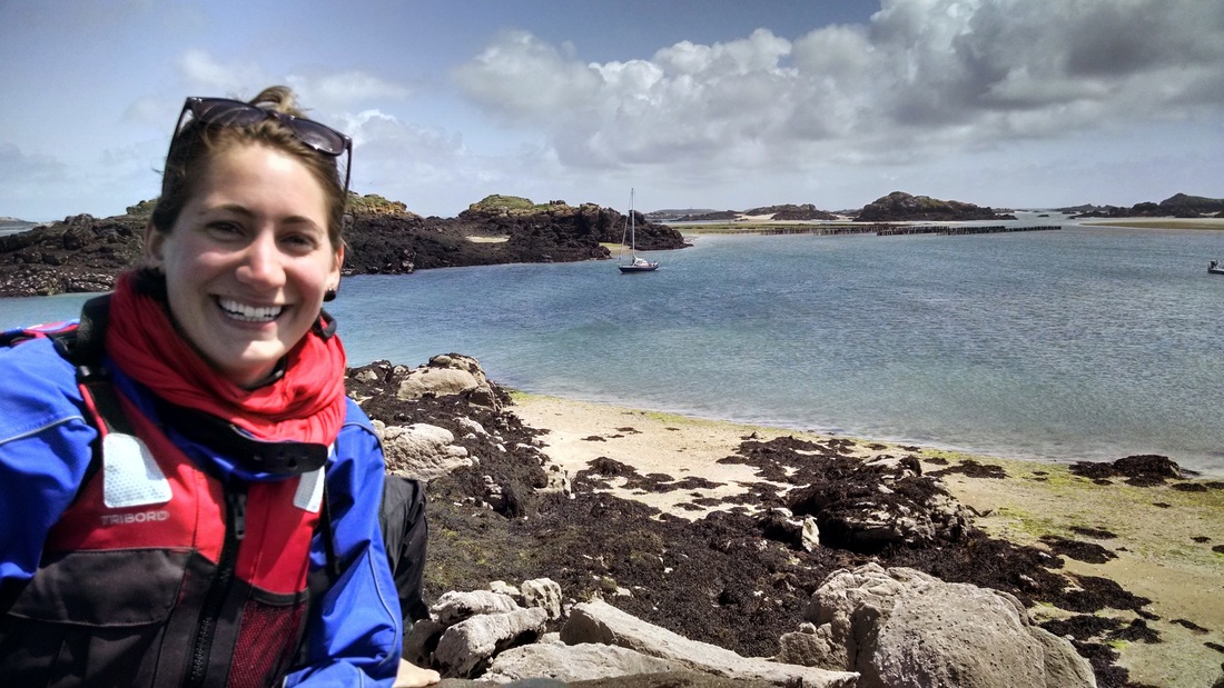
After a few other paddling excursions, Elizabeth and Cecilia took a break on the large island next to the fishing boat while Toni and I paddled out into a more exposed area in the two sea kayaks. We also visited a sailboat that was home to 4 French people. I attempted to speak French and killed the conversation by asking a question to which I didn't understand the answer, after which I just said "beautiful boat!" and paddled away. Awkward. We later joined our compatriots on the island, where they had found a way to reach the top of a rocky peak with excellent views. The water was very clear and blue. We had a little photo shoot and enjoyed the sun. Toni dropped her sunglasses in a crevasse but miraculously managed to get them back. We almost lost the kayaks to the rapidly rising tide (low tide was at 1:30pm)...

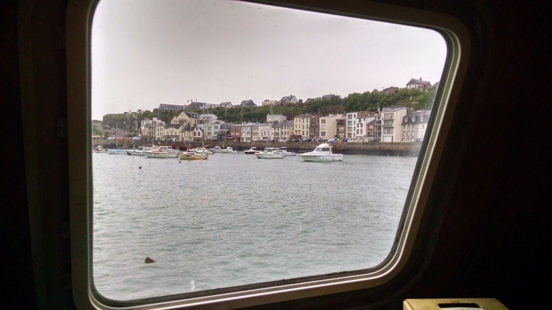
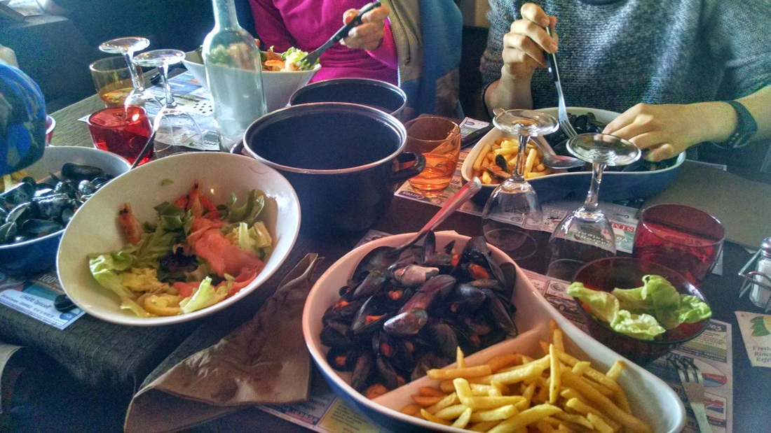
The return trip to Granville was sunny. The driver had accidentally cut his hand at some point, and spent quite a while trying to bandage it up and stop the bleeding. I think we were all relieved when he appeared from the kitchen (which also serves as the hospital) fully bandaged. The expert fisherman spent the return trip cleaning and cutting up the cuttlefish. Upon returning to Granville, the tide was much lower than when we had departed, so we had to climb up a tall ladder to the same dock. That evening we celebrated an excellent day with a dinner of mussels and french fries by the water! Yum!
Photos from kayaking... click a photo to open slideshow


Date: Saturday, May 16th, 2015
Distance: ~9 km (5.6 miles)
Duration: ~4 hours
Weather: Windy, foggy in the morning, alternating cloudy and sunny in the afternoon.
Distance: ~9 km (5.6 miles)
Duration: ~4 hours
Weather: Windy, foggy in the morning, alternating cloudy and sunny in the afternoon.
 RSS Feed

