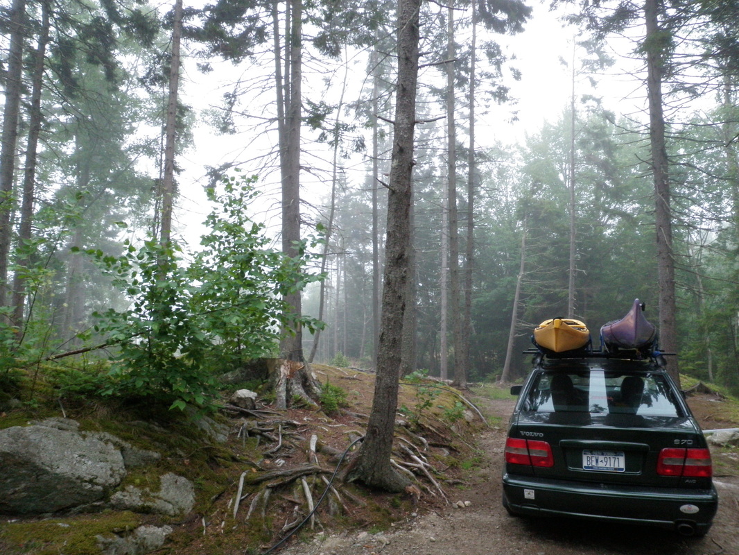
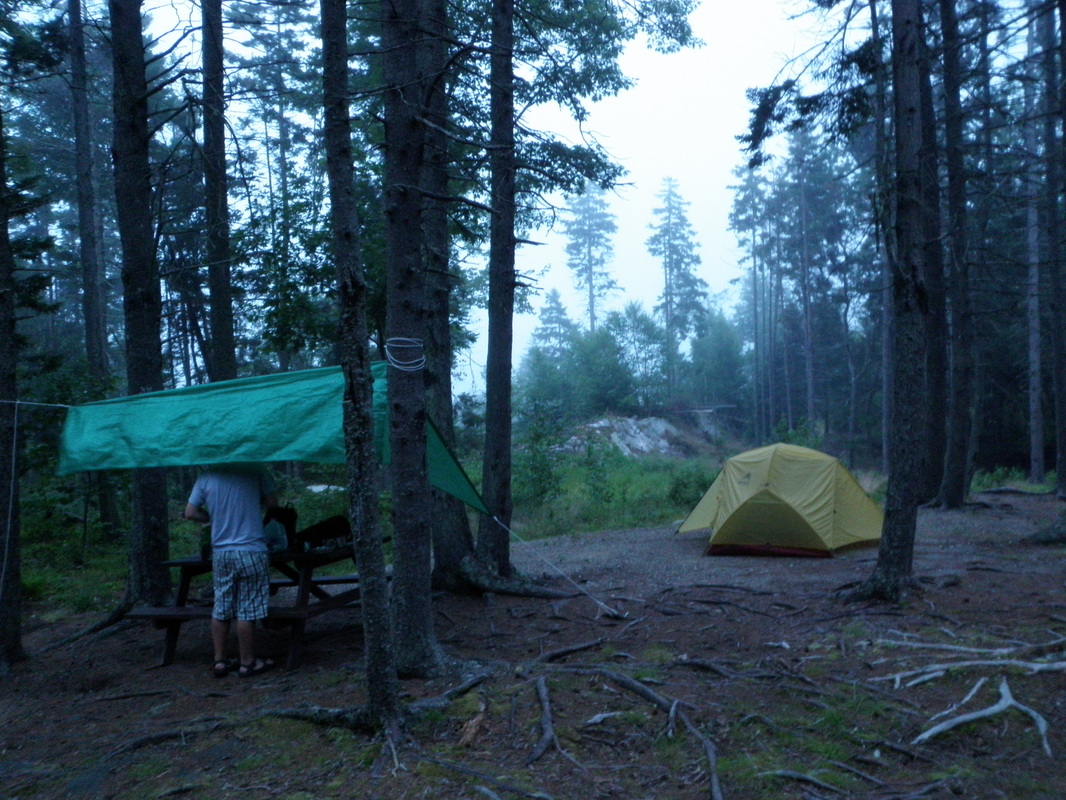
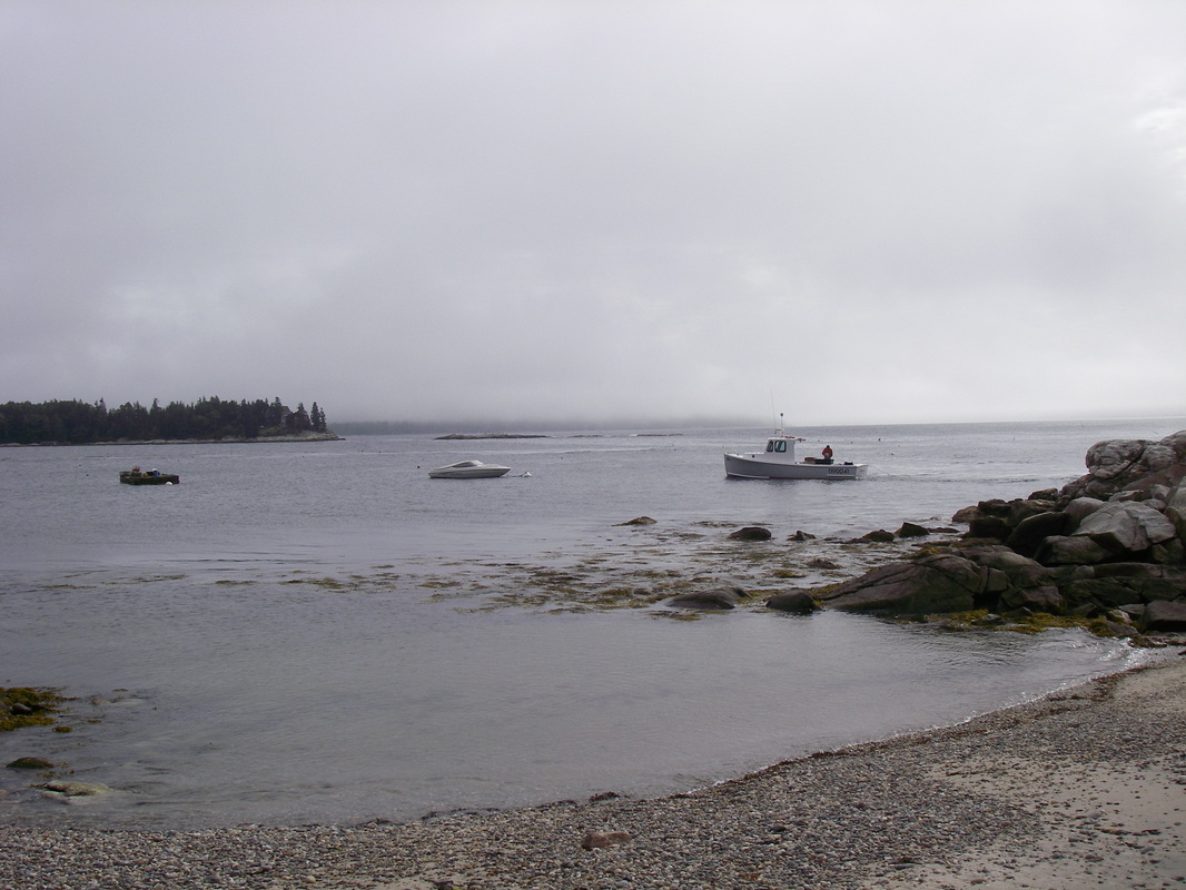
 Plotting our course by candle light | Now that you're all (the 3 of you who actually read this) probably getting bored of my posts, I've invited a guest blogger! I now present you with Jeff Buchman, kayaking partner for the weekend of 7/9-7/11 on our visit to Boothbay Harbor in Maine... Saturday morning we awoke to the sound of rain drops on the tent, but it turns out it was only large amounts of fog dripping off of the trees. Since it was predicted to thunderstorm, I was more than willing to deal with heavy fog since last time I checked no one was ever electrocuted by fog. When we arrived at the beach at Gray Homestead Oceanfront Camping (where we were camping), the fog was so thick that we couldn't see Squirrel Island, which is only about 1 mile offshore. As we were launching, the fog began to lift and a little bit of sun shined through the the clouds. The first part of the trip was against the tide toward the open Atlantic Ocean. While paddling against the tide is a bit more challenging, it is somewhat reassuring to know that if something goes wrong you won't be swept into the ocean. The wave height was probably 3-4 feet but... |
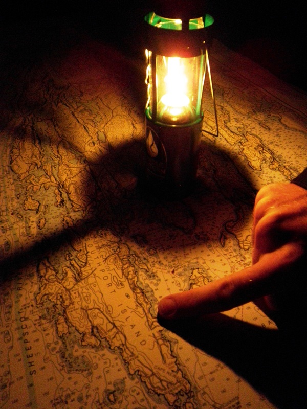
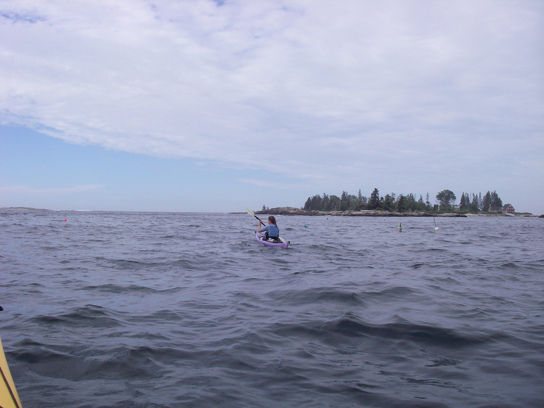
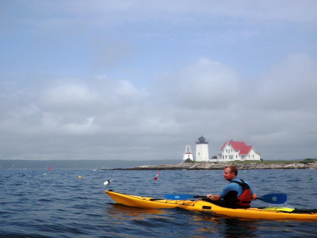
unlike the Lake Ontario waves we are used to, where 3-4 feet means breakers, these were all swells with a long wavelength, so it was very gentle. As we approached the Cuckold Island Lighthouse, the waves grew, and we could see fairly large breakers in the distance. We decided to cut through Cape Harbor on the south end of Southport Island. We had been debating crossing Sheepscot Bay to the Five Islands area, but since there was thick fog moving in and out, we decided it would be best to stick to shore and paddle the circumference of Southport Island. Along the western coast of the island, we found a number of pleasantly named coves (Christmas Cove, Cozy Cove, etc...) to explore, which ensured us that our decision to forgo the crossing would not be regretted.
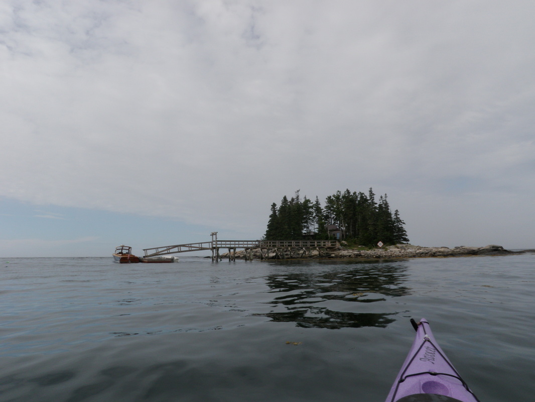
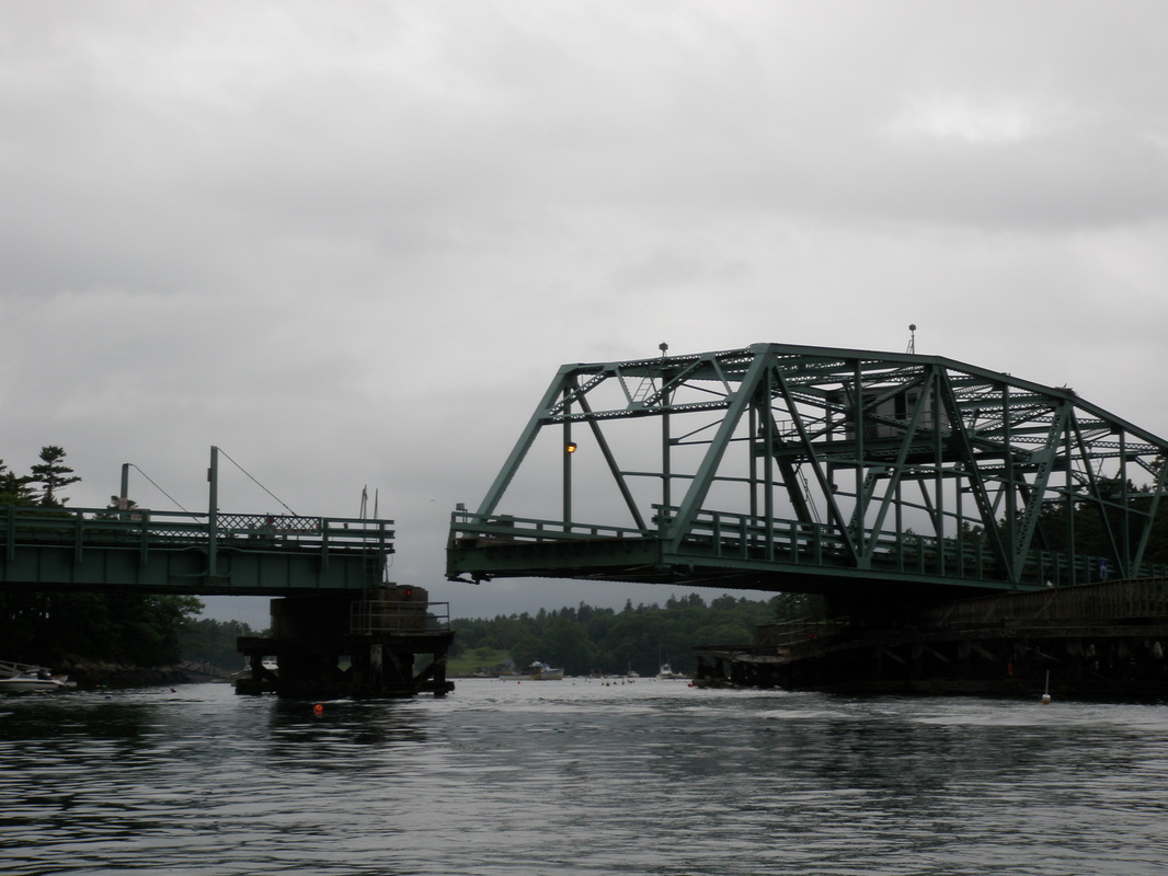

In Cozy Cove we saw an area that had a gate built across it and an opening just big enough for a kayaker to squeeze through, so naturally we had to investigate (Note from Nena: I managed to run head-on into the edge of the gate and nearly flip myself, but Jeff is being nice and not mentioning it). Inside, we found a large salt water pond with a few unused docks that were covered with the remains of seabird meals. Nena found a nice sea urchin skeleton and cleaned it up to take with her, but sadly it was later crushed. We stopped for lunch on what we first thought was an uninhabited island, but after getting out of the boats we found a number of cabins near our landing point. Upon closer inspection, no one was in the cabins so we decided to stay and eat lunch while the sun was shining. After, lunch some threatening clouds appeared in the west, so we decided to up the pace and reach the shelter of Townsend Gut (a gut is a small body of water connecting two larger bodies of water) on the north end of the island. In what became a theme for the weekend, the threatening clouds produced only a slight drizzle. The bridge on Route 27 crossing over Townsend Gut onto Southport Island is a swing bridge, so taller boats can get through. Rather than splitting in the middle, the whole bridge pivots on a center point and rotates 90 degrees, moving itself out of the way.
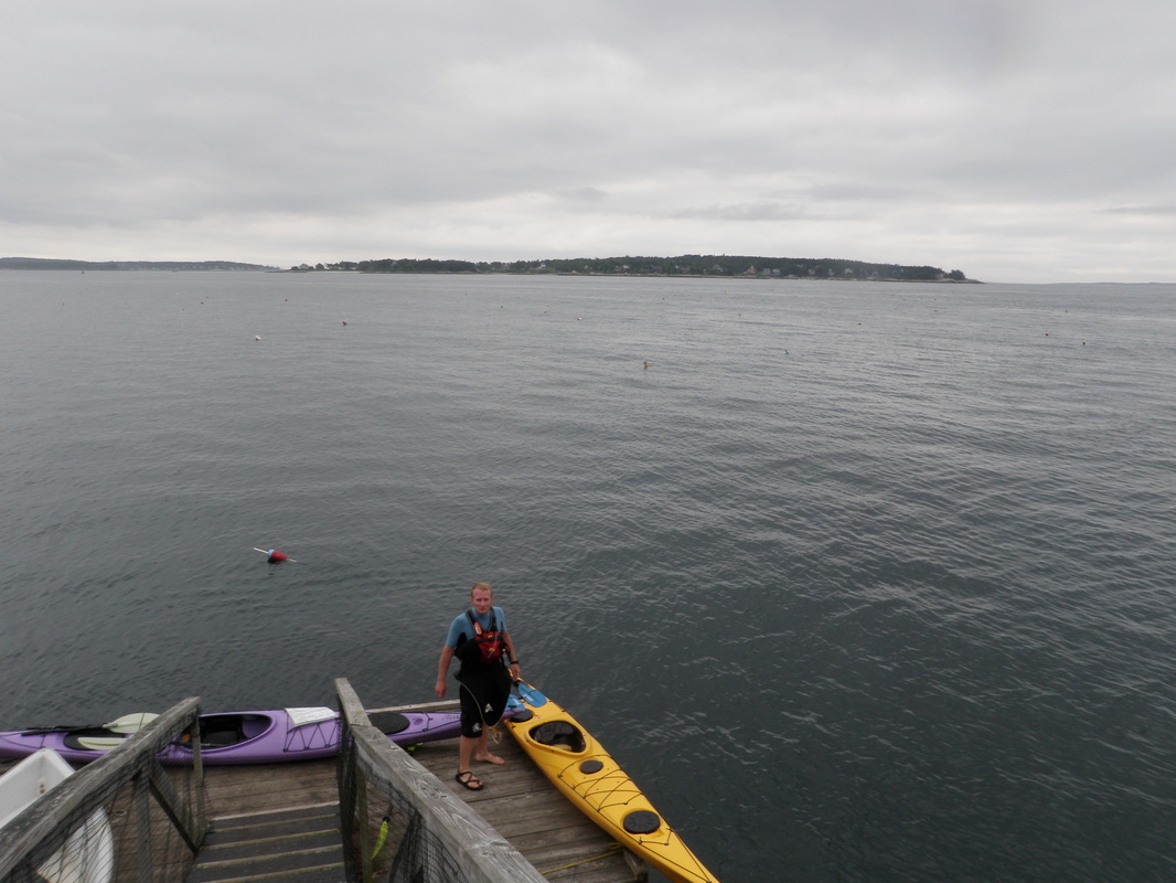
The paddle back to the campground at low tide was rather uneventful until we reached the take-out and decided to get out on the small floating dock. The combination of two sea kayaks, a steeply angled ramp, and a moving platform made getting the boat up to the beach a bit tricky so after maneuvering Nena’s boat up the ramp we decided it would be best if I paddled back to the beach. Our first day of paddling covered 13 miles and about 100 feet of swimming off the dock once we got back to the campground.
After paddling, we visited the lovely little town of Boothbay Harbor. In order to cure her headache (most likely caused by dehydration), Nena had some espresso and double chocolate gelato. I decided to go local and try the sea salt gelato; it was surprisingly good. We spent a few hours exploring the town before going back to camp to get ready for Sunday’s paddle. (see previous post)
~ Jeff
Date: Saturday, July 10th, 2010
Distance: 13 miles
Time: ~4.5 hours (incl. lunch)
Distance: 13 miles
Time: ~4.5 hours (incl. lunch)
 RSS Feed

