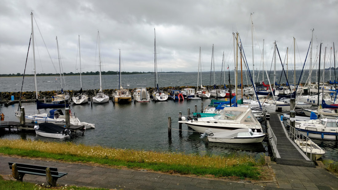
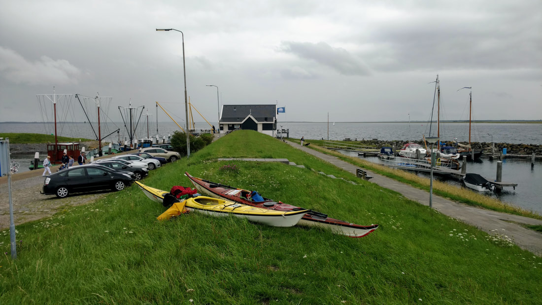
View from Ouddorp harbor, the launch site.
Just a short post today to share a few photos and stats from my first trip to Grevelingen lake - one of the four (former) estuaries in Zeeland, the most southwestern province of the Netherlands. Read on to find out why my face was caked in salt at the end of the day...
It's been some time since I've been on open water - I was back in the US for a week and then busy with other things in the weekends. Last week I reached out to Iede to see if he was up for some big water paddling. He was! We tried to galvanize some other club members, but they must have been discouraged by the rainy/windy forecast, so all we heard were crickets...
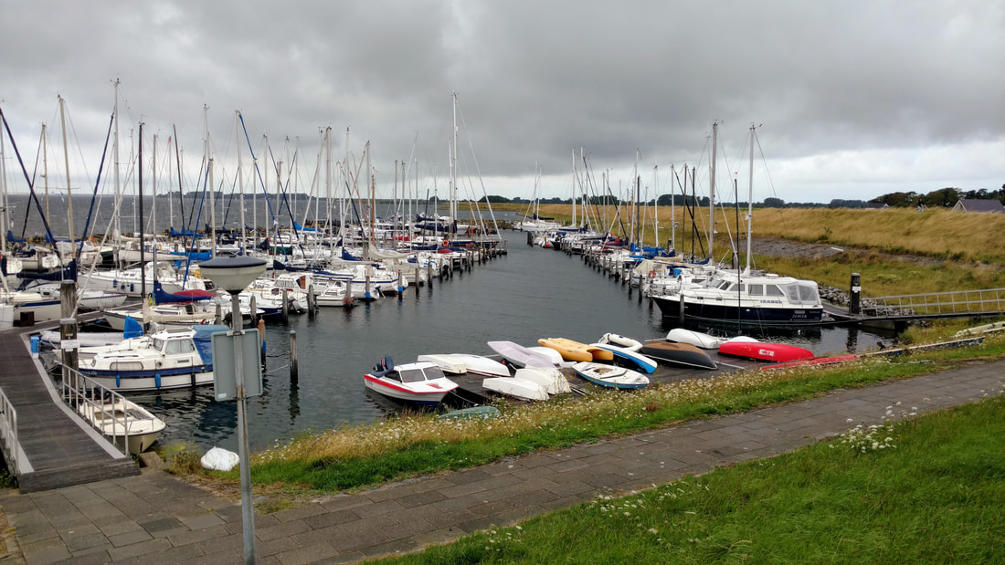
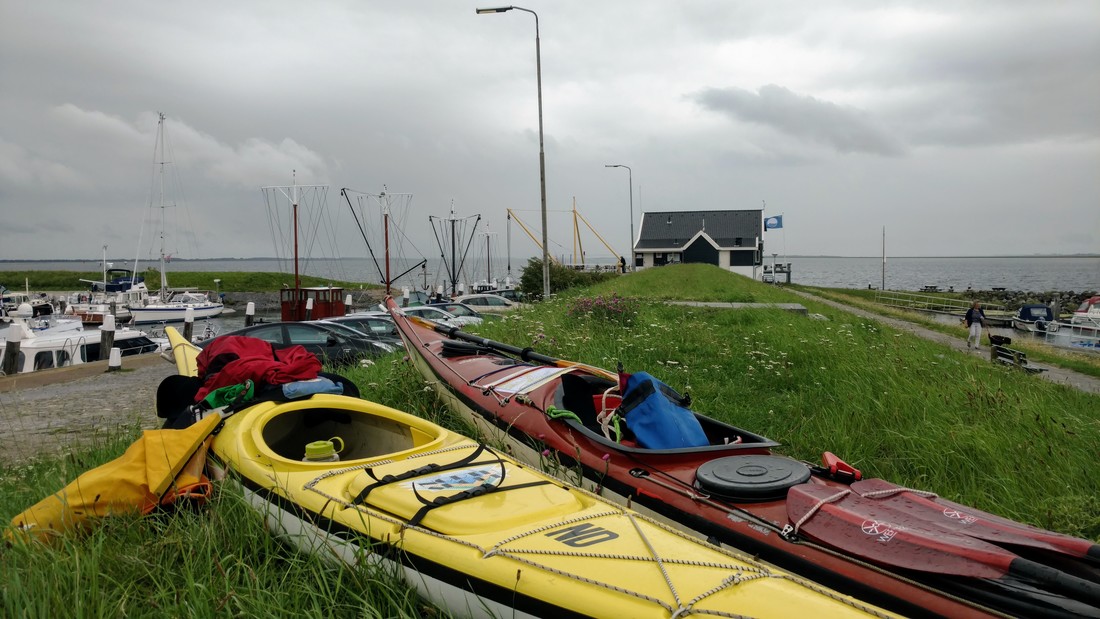
Ouddorp harbor, looking west.
We met at the clubhouse at 9am on Saturday for the usual coffee, where we decided on our destination: Grevelingen lake. It's yet another heavily modified former estuary in the Dutch Delta. The construction of two dams effectively isolated the estuary from the sea (Brouwersdam, 1971) and inland rivers (Grevelingendam, 1965), though some water can be manually let in/out through the dams. Today the water level is held at 20 cm below sea level, though that may change to allow for more fluctuations in the future. Dynamic intertidal mudflats became static islands. But here in the Netherlands it's marketed as a rich, "unique," and "fragile" ecosystem and is formally a natural protected area. More info here...
Oh, and the Dutch still aren't done modifying it: they're planning to build 13 new islands as a luxury vacation destination on the inside of Brouwersdam ("Ibiza of the Netherlands"...).
Today it's the largest saltwater "lake" in the Netherlands. The salt results in clearer water, making it a popular destination for divers. If you look at the map (see bottom of post), you'll notice that there are quite a few islands in this lake, which makes for more interesting kayaking. We decided to paddle around Hempelvoet island, with a lunch stop at a tiny archipelago on the south side. You can't really land on Hempelvoet island since it's a protected bird area.
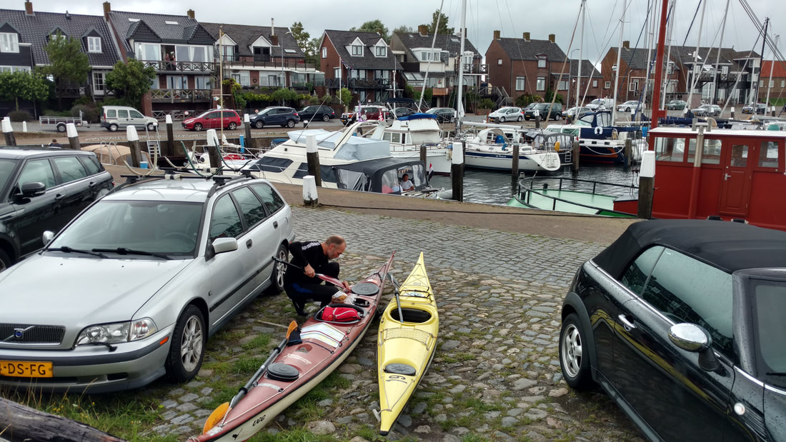
Ouddorp harbor, looking east. Iede loading up his boat.
We drove the ~45 minutes from Rotterdam to Ouddorp harbor, on the north shore of the Grevelingen. The little restaurant at the end of the dike let us use their bathrooms. Most of the docks were occupied, so we just launched from the edge of the dike.
It was a pretty windy day: not super windy by Iede's standards, but pretty windy by mine, since I haven't really paddled in a lot of wind since California. We decided to get the hard part out of the way by paddling southwest from Ouddorp harbor, tackling the wind head-on. I think the thing I like least about wind is the howling in your ears, making it near impossible to chat with your fellow paddlers. Iede went off and did circles while I just tried to keep a steady forward pace, watching some wooden piles bordering the island move sllooowwwlllyyyy past me.
After what felt like hours (but was probably a little more than an hour). we made it to the west point of the island. From there it was smooth sailing! We paddled quarter-wind towards a little archipelago. I found it easiest to alternate between paddling parallel and perpendicular to the wind/waves rather than trying to paddle directly towards the island. Some surfing happened! Mostly by Iede...
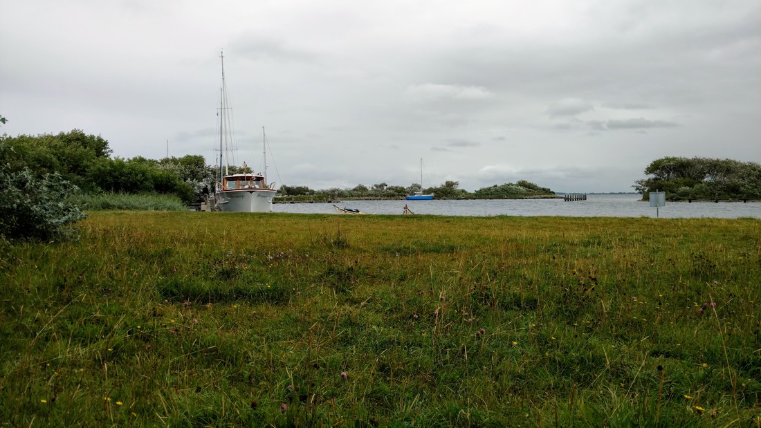
View from our lunch spot, out of the wind behind the beach on the archipelago
We landed on a little (artificial) sheltered beach inside the archipelago around 1pm, where we ate lunch and relaxed out of the wind for a while. The second half of the trip was even easier, with the wind directly at our backs and then along the shallow northeast side of the island, which was sheltered from the wind.
Kayaks perched on a dike, ready to be loaded back on the car.
Date: Saturday, July 29th, 2017
Distance: (at least) 15 km (9.3 miles) - there were quite a few zigzags on certain legs of this route...
Duration: ~ 4 hrs including long beach stop
Weather: Windy (4 /5bft), sporadic rain/wind/sun
Distance: (at least) 15 km (9.3 miles) - there were quite a few zigzags on certain legs of this route...
Duration: ~ 4 hrs including long beach stop
Weather: Windy (4 /5bft), sporadic rain/wind/sun
 RSS Feed

