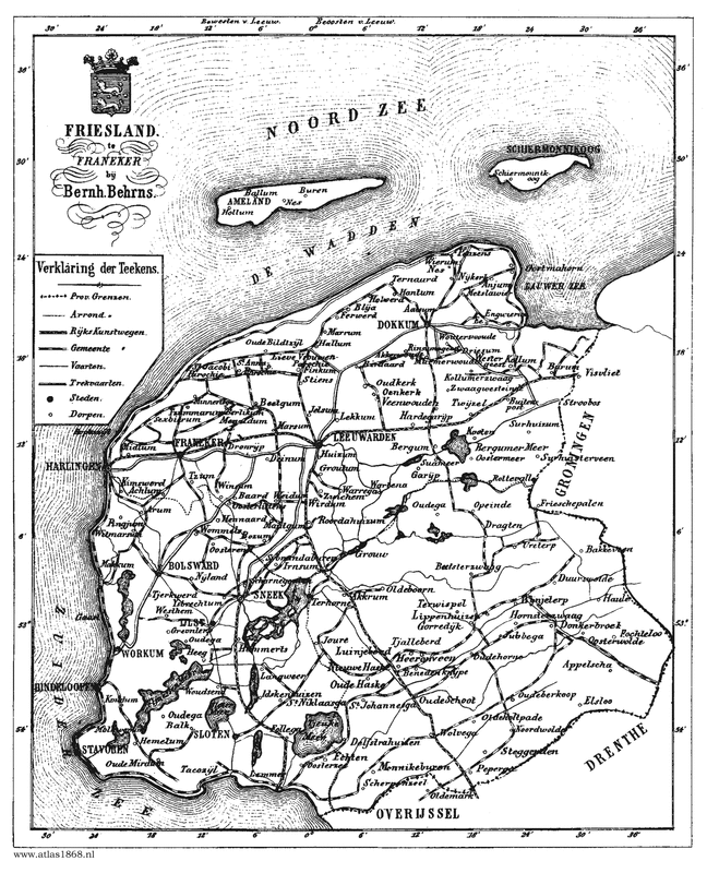
I also did some Water Nerd research about Lauwersmeer, and it has quite an interesting/complicated history of floods, poldering, and damming. If you just want to read about that, you can skip to the Water Nerd section.
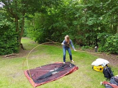
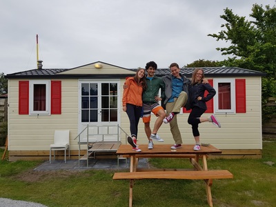
We departed Delft on Saturday morning and drove ~3 hours up to Lauwersoog, picking up Sander (who came from Germany) at the train station in Groningen. We set up the tent, bought a few 6-packs of beer from the camp store, and wandered over to the rental shop.
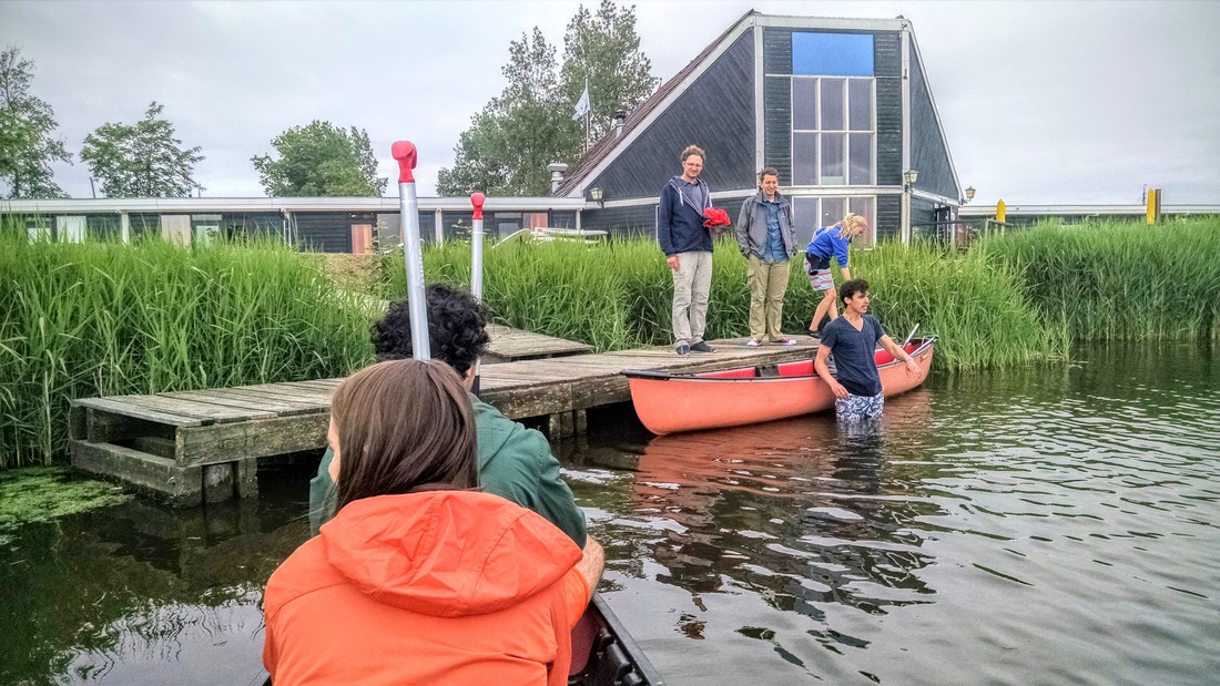
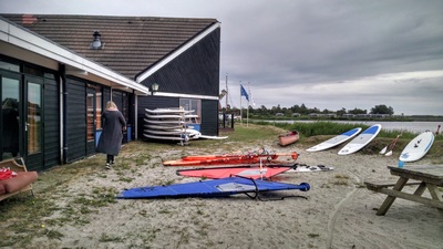
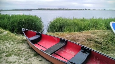
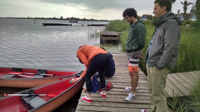
Originally, I had hoped to kayak, but we didn't have any luck finding kayaks for rent. The campground (Beleef Lauwersoog) does not rent kayaks or canoes, even though the main photo on their website shows a canoe. First, we tried to rent from Watersport verhuur B&D Suyderoogh, but they only had 2 single kayaks available. Two tandems had recently been stolen. We ended up renting canoes from De Lauwer Sail and Surf School, located conveniently next to the campground. We arrived at 16:30 and were informed that rentals stopped at 17h, but they would stay open until 18u today. And so began the short cabrewing adventure!
Cabrewing: The act of floating down a river in a canoe or raft while drinking alcoholic beverages. Usually done in large groups. No paddeling is involved unless absolutely necessary. As a practical joke, it is a common occurrance to flip over other canoes. Usually done in a shallow body of water where wading is possible due to frequent potty breaks. - Urban Dictionary
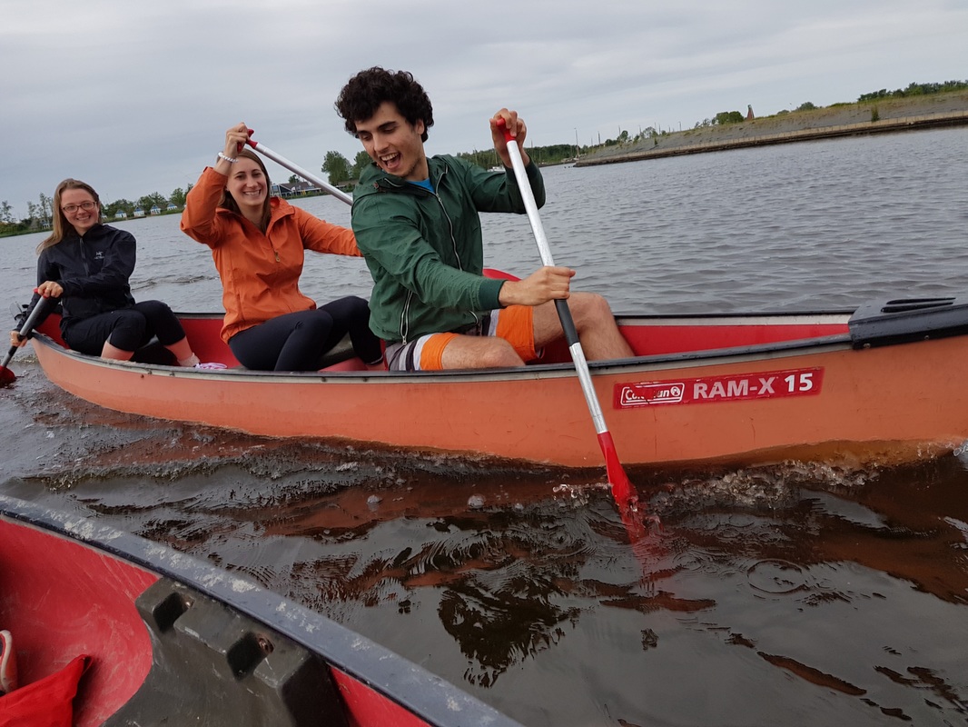
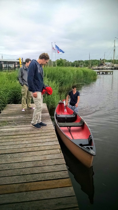
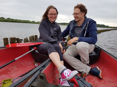
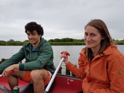
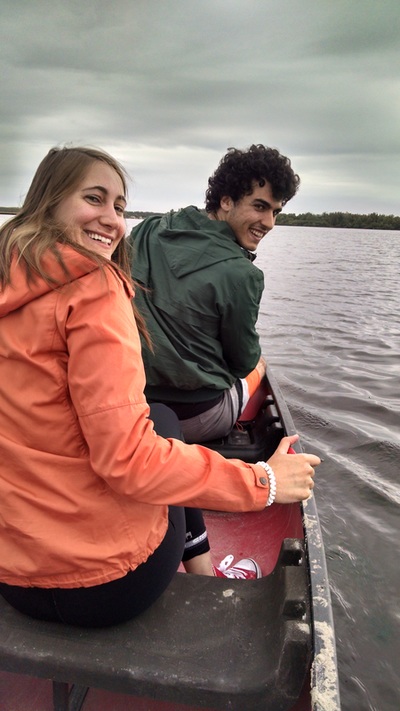
Alex informed everyone that if they wanted to swim, they should be in his boat. Somehow this resulted in Elizabeth and I joining him, and Sander and Henk heading off on their own. When asked if he had any suggestions for things to see/where to go, the rental associate informed us that there was nothing really fantastic or exciting about the lake. We were clearly more excited about this than he was...
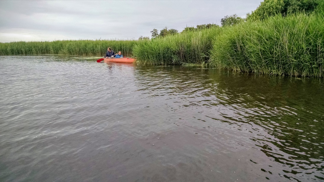
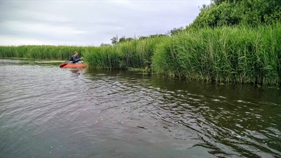
Shortly after departure, Henk and Sander headed, high speed, into the reeds:
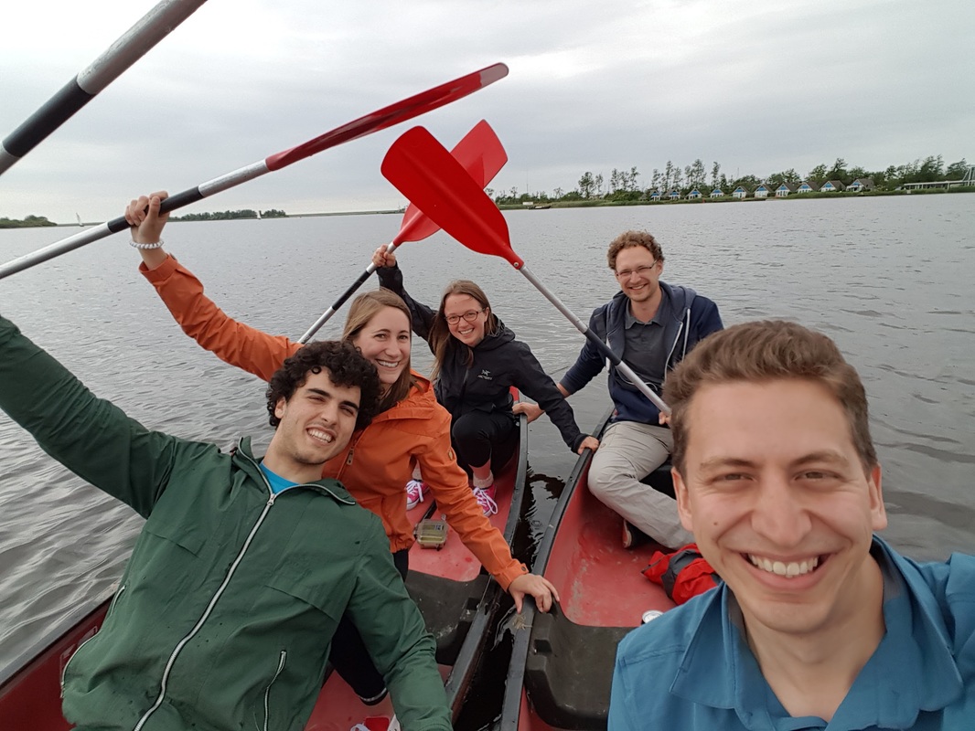
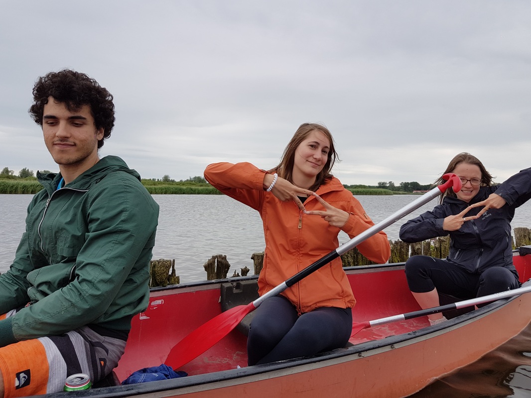
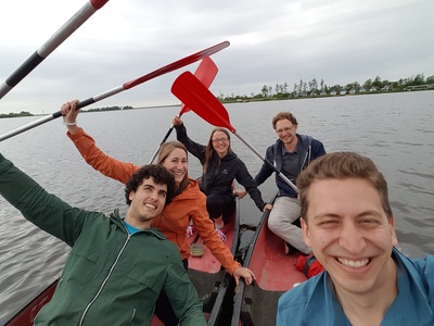
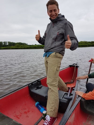
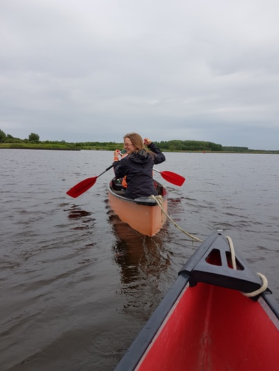
- Defining the new kayaking gang sign (see below)
- Choreographing an in-canoe dance to Pitbull's Timber
- Sander nearly flipping his canoe twice (bringing the gunnel within a centimeter of the water surface)
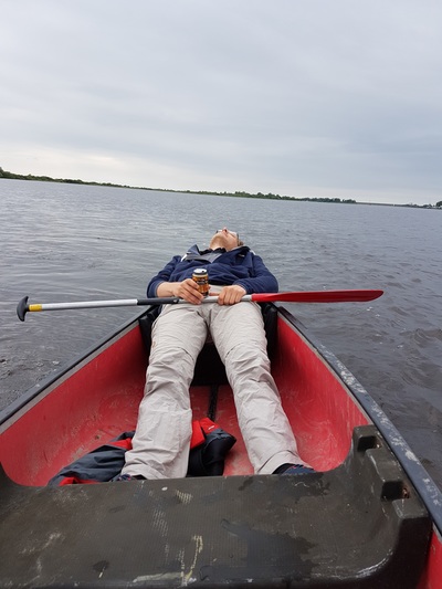
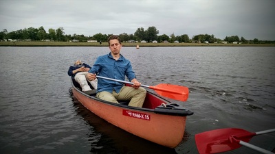
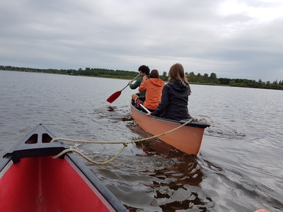
- Henk napping in the back and Sander not-so-secretly tying their canoe to ours for a free ride
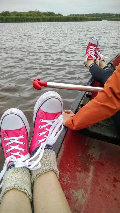
I've decided that canoes are now my favorite place to drink beer, and that we should do this more often. Whether this is really worthy of being on a kayaking/paddling blog, I cannot say. But we did somehow manage to paddle 4 km...
Scroll past the photos below to read about the complicated history of Lauwersmeer!
More photos! Click to enlarge...
The Water Nerd: History of Lauwersmeer (Hint: it hasn't always been a lake)
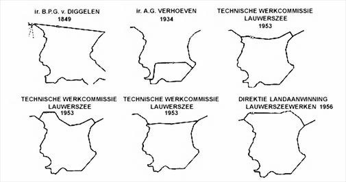
Starting in the mid 1800s, plans began developing for how to drain/close the Lauwersee off from the Wadden Sea (bottom left photo, below). One reason was to improve drainage of the lowlands, because during rainy periods large areas around Groningen and Friesland would flood. None of these were persued until the massive floods of 1953. After the flood, the Netherlands decided that either 32 km of dikes around the sea had to be reinforced, or a 13 km dam could be built between the Lauwers Sea and the Wadden Sea.
A study found that reinforcing the dikes would be cheaper, so that was the plan the government initially pursued. Fishermen and conservationists were also strongly opposed to the closure, as it would remove one of the last natural bays on the Wadden Sea (and the seals, fish, ducks, and natural dynamics). However, the locals resisted, collecting signatures, protesting, and rallying support from local governments to help share the cost (and also maintain the longer dike at the same time).
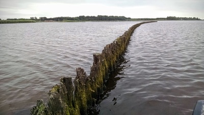
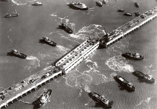
The locals succeeded, and in 1969, 8 years after start of construction, the last piece of the dike was laid (bottom right photo, below). And so it became Lauwersmeer. The Lauwersmeer initially looked like the Wadden Sea at low tide: a sprawling sand/mudflat with a channel system. The flags flew at half mast: a beautiful, complex, valuable ecosystem was lost. Over time, the lake and it's flora and fauna converted to a freshwater system. When the tides are low enough in the Wadden Sea, the gates are opened to drain excess water into the Wadden Sea. The dike includes a new harbor, called Lauwersoog, where the ferry now departs to Schiermonnikoog island. The lake was designated as a national park in 2003.
Stories like these are common in the Netherlands (and many other places), and they make me sad every time I read them. I wasn't able to find a good explanation for why the locals preferred closing the lake to reinforcing the dikes, even while reinforcing the dikes was less expensive and many of them depended on the bay's ecosystem for their livelihood. I remember reading about a similar plan developed in the mid 1950s to close off parts of San Francisco Bay when I worked in California. I'm now especially greatful that groups like Save the Bay (started by 3 women in the 1960s) were able to get it off the table.
Websites consulted while writing up this summary:
http://zoutkamp.net/geschiedenis/lauwerszee/
http://www.npogeschiedenis.nl/nieuws/2009/mei/Veertig-jaar-geleden-Lauwerszee-ingepolderd.html
https://nl.wikipedia.org/wiki/Lauwerszee
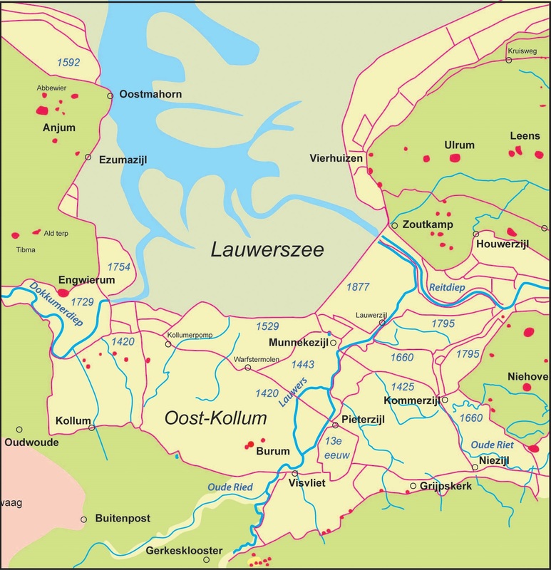
Poldering between the 1300s and late 1800s. Source: http://landschapsgeschiedenis.nl/
|
Route Map
Distance: 4 km (2.5 miles)
Duration: 1.5 hrs
 RSS Feed

