 Animation of the Maeslantkering in action (Source) | Once a year, Rijkswaterstaat does a test closing of the Maeslantkering, a massive storm surge barrier on the waterway that connects Rotterdam to the ocean (the Nieuwe Waterweg/the Scheur). Check out the structure in Google Maps. Rijkswaterstaat is the government agency that oversees flood protection in the Netherlands by building and maintaining the complex and highly managed system of rivers, lakes, coastlines, pumps, and flood protection structures. This is necessary because more than 25% of the country is below sea level (protected by dikes). This was one of the last projects within the 50-year Delta Works, a massive flood infrastructure project triggered by the devastating 1953 floods that killed almost 2000 people. |
| We (Elizabeth, Toni, Sander, Maria, and I) biked the 20+ km from Delft to the Maeslantkering on Sunday afternoon to attend the annual test closure. It's quite the event, with europop music and hoards of politicians in fancy suits. Civil engineering students give guided tours every 10 minutes throughout the afternoon. We took a tour and picnicked on the adjacent hillside with the rest of the crowd. | 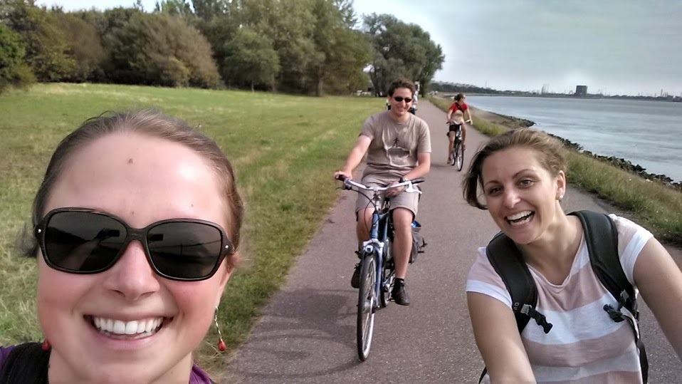 |
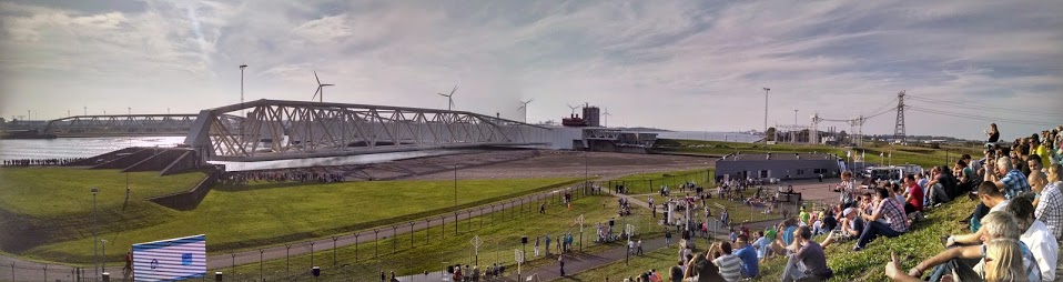
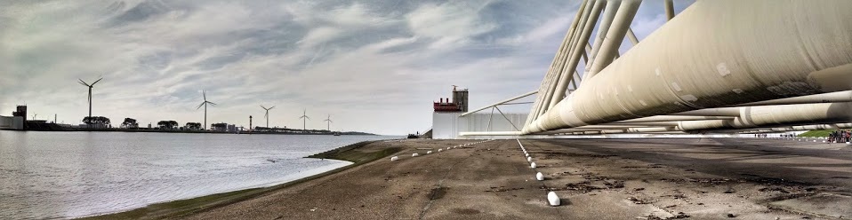
Panorama of the partially closed barrier, and the hillside of observers. Click to see larger!
Fun Facts about the Maeslantkering
| We picked up these tidbits during our tour:
How does the Maeslantkering work? The two arms rotate from each side of the river, at a rate of 3 m/minute, until they are ~1 m apart. This small gap just considered a leak. Water is pumped into both arms to fill them with water, lowering them towards the river floor. Then, it pauses for ~1 hour before lowering completely, to allow flow to flush out the track underneath (water moves faster when most of the flow is blocked). This is part of the maintenance, to make sure the tracks don't fill up with sediment permanently. Then, more water is pumped in and the arms lower to the bottom of the river, stopping almost all flow. See the animation above for a visualization of this process. | 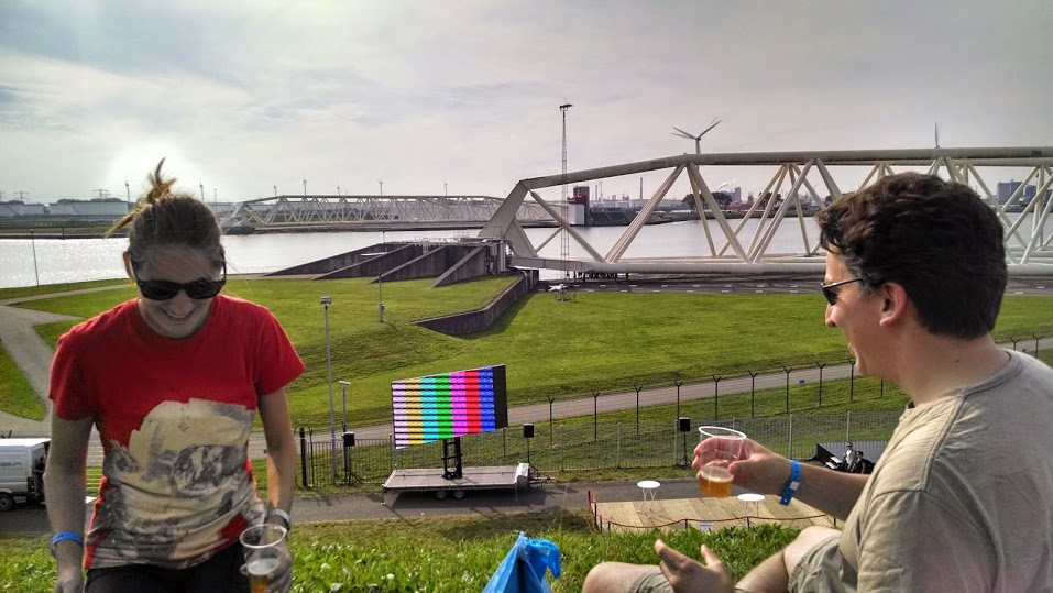 Elizabeth and Sander enjoying some good Dutch beer before the closing. 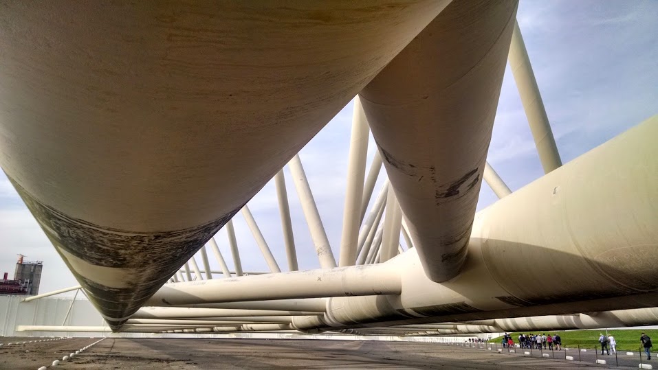 Underneath the northern arm. 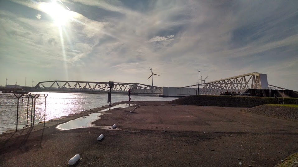 View of the closed barrier, from the back. 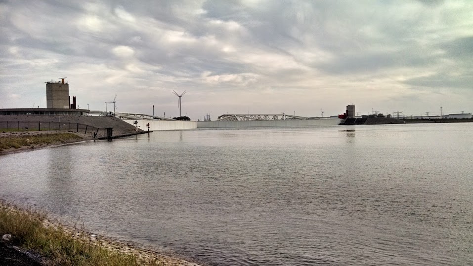 View of the closed barrier, from the front. |
This structure is an improvement on many of the other storm surge barriers in the Netherlands because it lets the river be completely open most of the time. This allows tides and salt water to come in and out, which allow coastal and wetland habitats to exist. However, it still requires having a very controlled mouth of the river, rather than giving the river space to meander/evolve naturally. This works in a place like Rotterdam, which is already highly developed and engineered, but would be a detriment to more natural systems.
Looking down the north arm, towards the ocean.
We took a much longer route home, making a stop in Hoek van Holland on the coast and biking through the dunes until we reached the town of Monster (yes....) and turned inland towards Delft. Soreness ensued.
 RSS Feed

