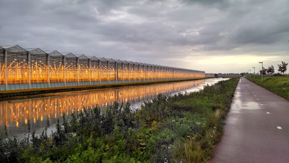
Historically, the Rotte River drained the Zuidplas Lake, before it was turned into the Zuidplaspolder in 1840. A polder is a low-lying area that used to be marsh/wetland/water and was drained and diked by humans for development. At 7m (24 ft) below sea level, the Zuidplaspolder is tied with the Lammefjorden in Denmark for the lowest ("dry") point in Western Europe. I wish I'd known this before our trip!
We paddled until ~1pm, when we looked at the map and realized that downtown Rotterdam and the Kralingse Plas (two potential destinations) were still many kilometers away. Instead, we aimed for the Bergse Voorplas, a lake on the right side of the river. The map showed a narrow blue strip connecting the river to the south end of the lake. To our disappointment (or maybe relief?), the narrow canal was actually a manually-operated lock connecting the high river to the low lake. Instead, we unloaded at a small dock and walked across the levee to the lake with our afternoon veggie snacks. The lake was incredibly windy, so we turned around after a short walk to the marina, where a sailing race was beginning. We watched a small motor boat passing through the lock, which was manually operated by a woman sitting in the adjacent booth.
Distance: 12.4 miles (20 km) kayaking + 24 miles (39 km) of biking
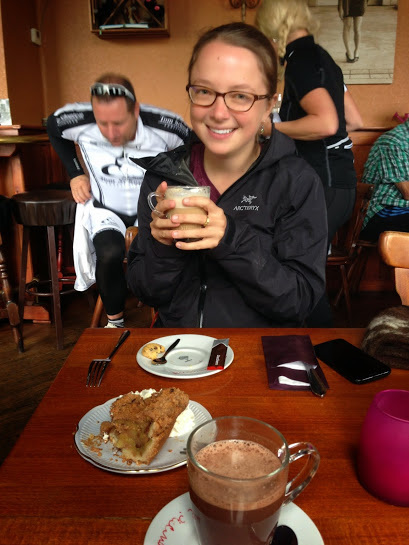
Duration: 6 hrs kayaking + 2.5 hrs biking (includes 2 cafe stops!)
 RSS Feed

