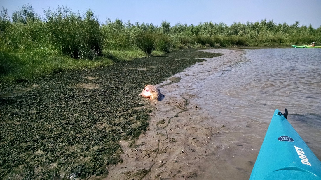
Carlos and Jovan hop out of their boats to take a look at a giant dead fish!
Today we take a short break from the Trip Planning 101 series to visit the Biesbosch, near Dordrecht in the Netherlands. I've visited the Biesbosch in the past, but starting in the southern boundary. Fun fact: Biesbosch translates roughly to "Wetland Forest" or "Reed Forest" (bies + bosch/bos).
Two Sundays ago, HJ and I met up with Carlos (a colleague from work) and his family for their first time kayaking. We did a little loop in what-turns-out-to-be a recently restored wetland - Jantjesplaat. Read on to see photos from our trip, and aerial photos of the wetland before and after completion of the restoration project - so neat!
Two Sundays ago, HJ and I met up with Carlos (a colleague from work) and his family for their first time kayaking. We did a little loop in what-turns-out-to-be a recently restored wetland - Jantjesplaat. Read on to see photos from our trip, and aerial photos of the wetland before and after completion of the restoration project - so neat!

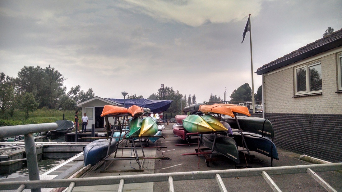
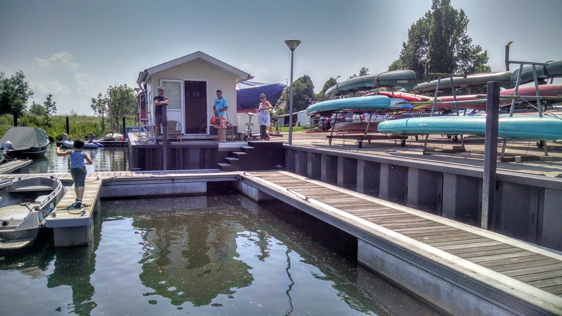
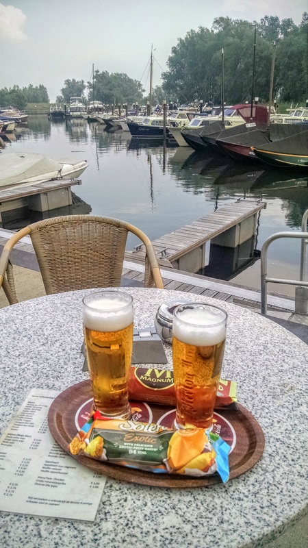
View of Jachthaven van Oversteeg from the water. Kayak, canoe, and motorboat rentals available.
Scroll down for the water nerd section!
Trip summary
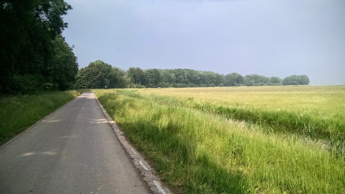
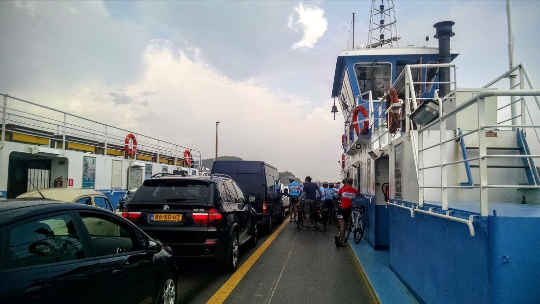
Here in the Netherlands the temperature was hovering around 25C (80F) and we made the most of it. On Saturday we went for a long bike ride from Dordrecht to the Biesbosch, and on Sunday we did it again (!) to meet up with Carlos, Roxi, and Jovan for their first kayaking trip. We met up at Jachthaven Oversteeg in the northern part of the Biesbosch.
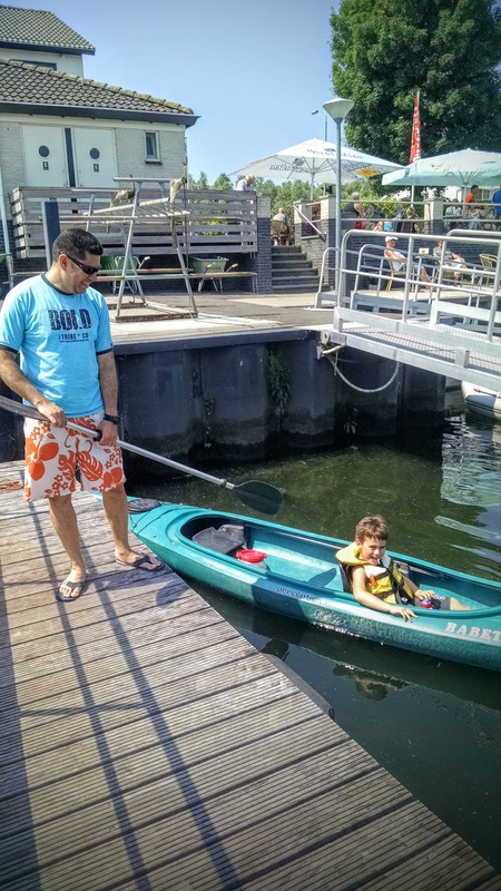
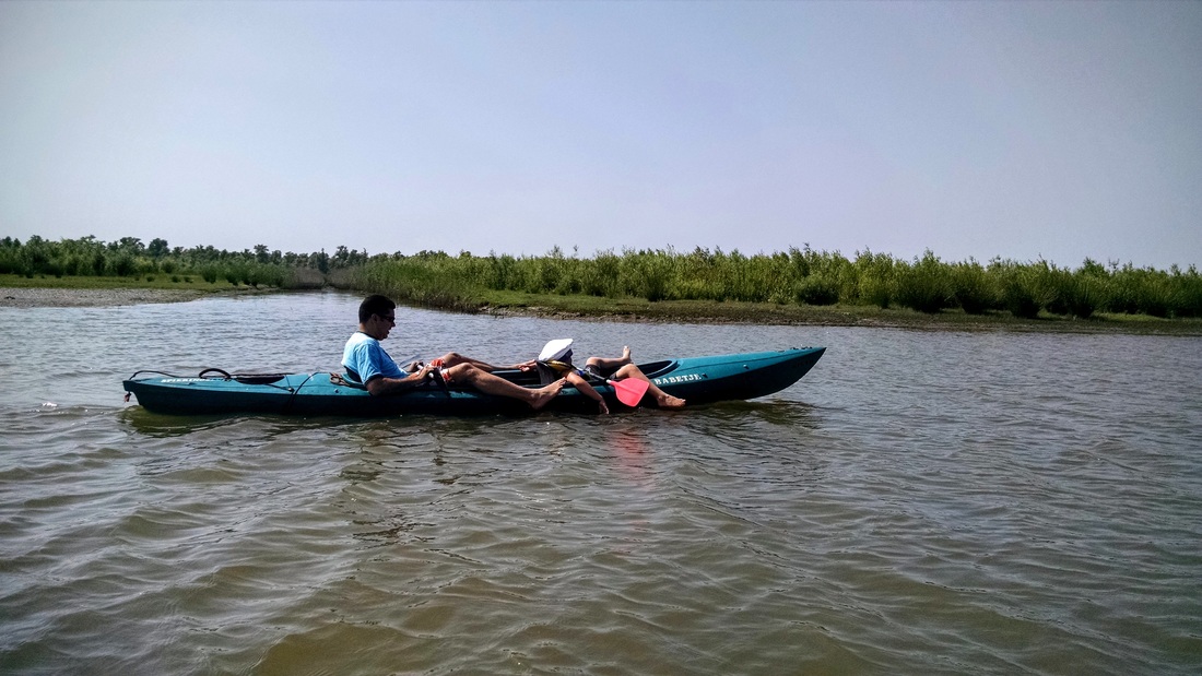
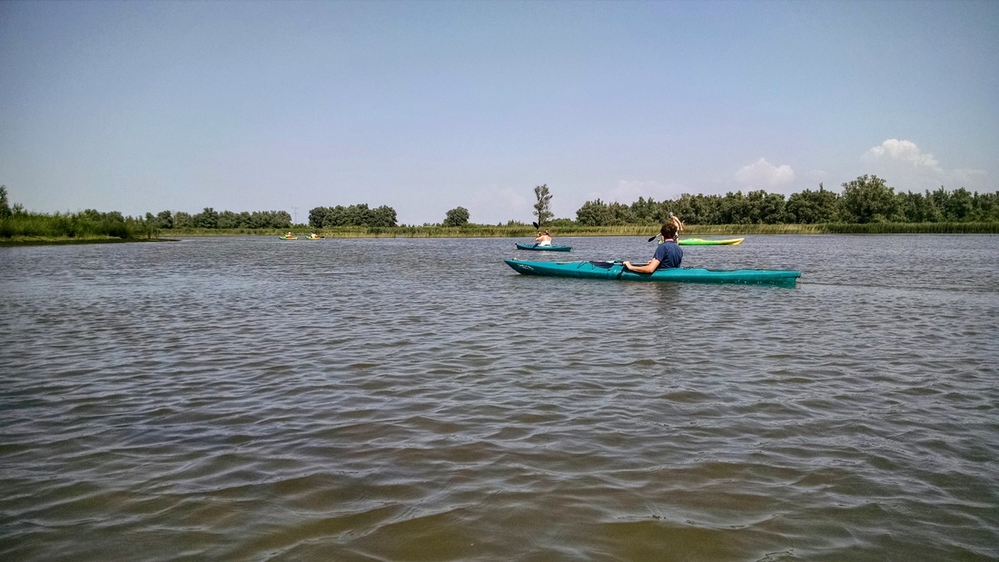
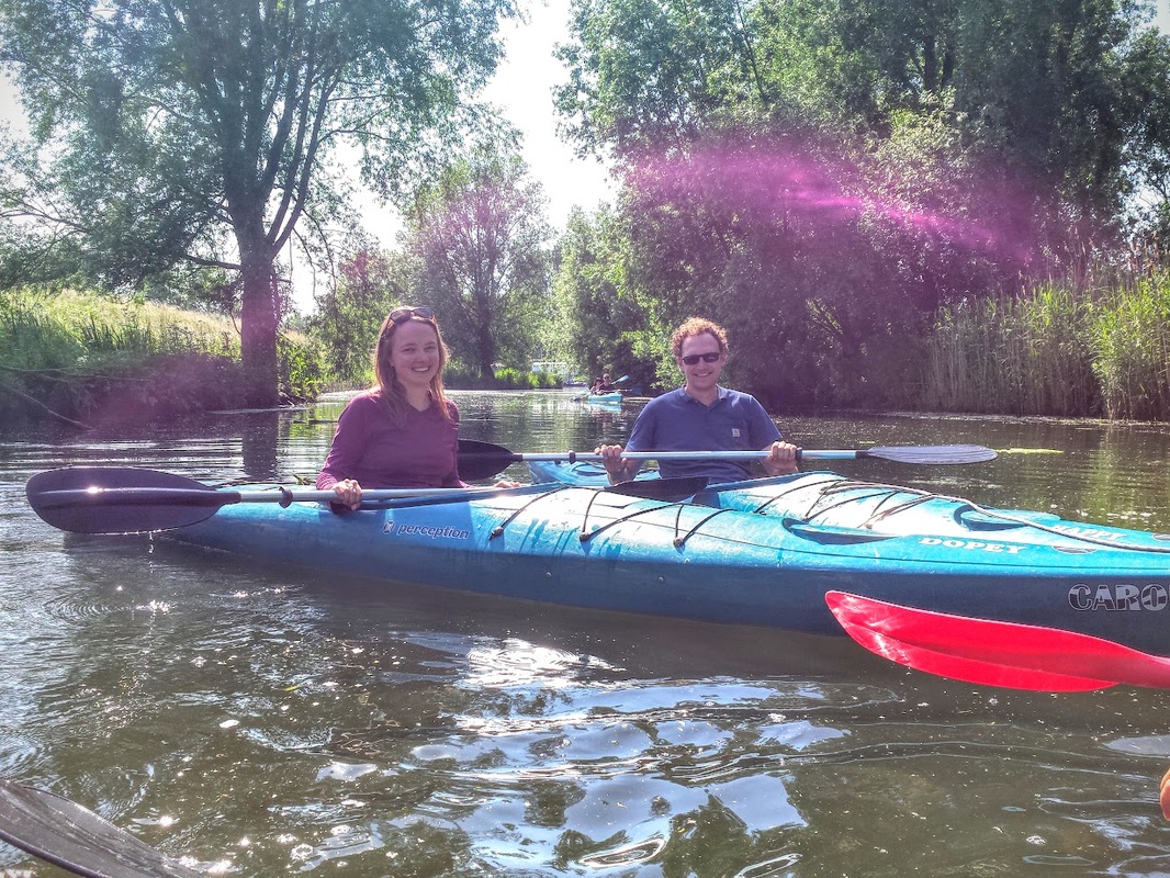
After slathering ourselves with sunscreen (a rare occurrence up here in the Netherlands/Belgium) and paying for a PFD for Jovan (seriously? we have to pay for a life jacket for a 6-year-old? I voiced my dismay - apparently no one is required to wear/have a PFD in their kayak), Carlos and Jovan enthusiastically piled into a double kayak. Roxi was less certain. I convinced her to trust me, more or less a complete stranger, and step into the boat as I held it stable. She got in smoothly, picked up the paddle, and after about 5 minutes of big eyes and wobbles she was well on her way. Off we went!
After slathering ourselves with sunscreen (a rare occurrence up here in the Netherlands/Belgium) and paying for a PFD for Jovan (seriously? we have to pay for a life jacket for a 6-year-old? I voiced my dismay - apparently no one is required to wear/have a PFD in their kayak), Carlos and Jovan enthusiastically piled into a double kayak. Roxi was less certain. I convinced her to trust me, more or less a complete stranger, and step into the boat as I held it stable. She got in smoothly, picked up the paddle, and after about 5 minutes of big eyes and wobbles she was well on her way. Off we went!
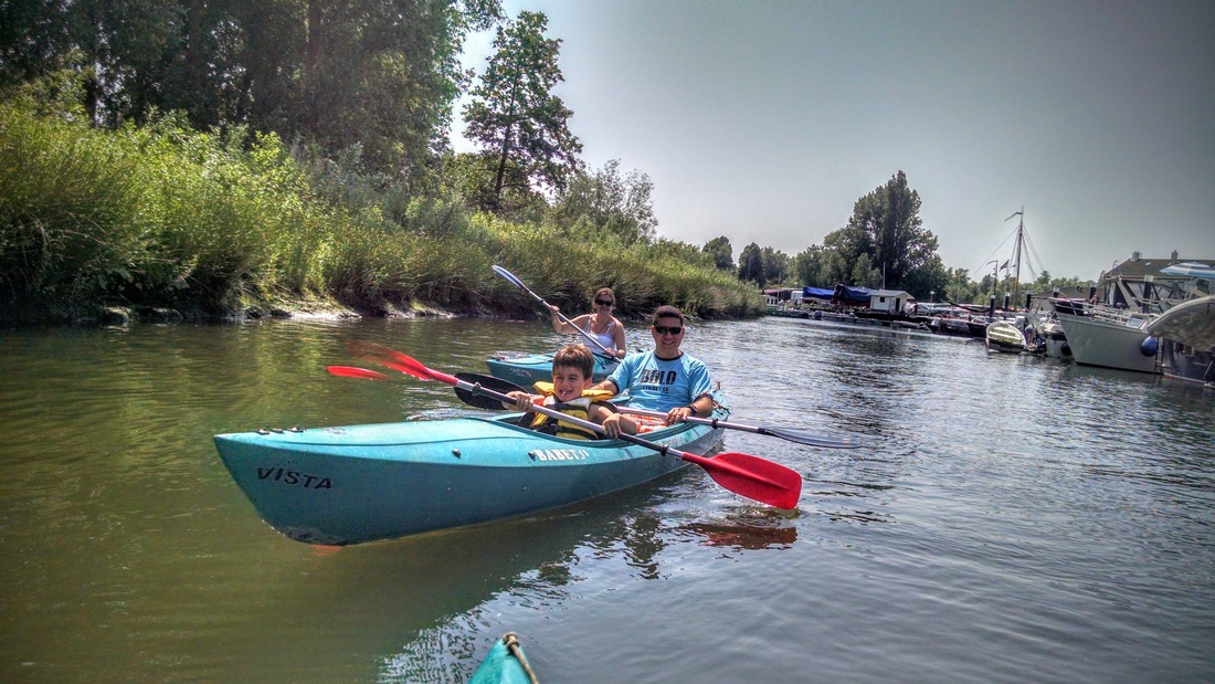
Roxi, Carlos, and Jovan looking happy after their first 5 minutes in a kayak.
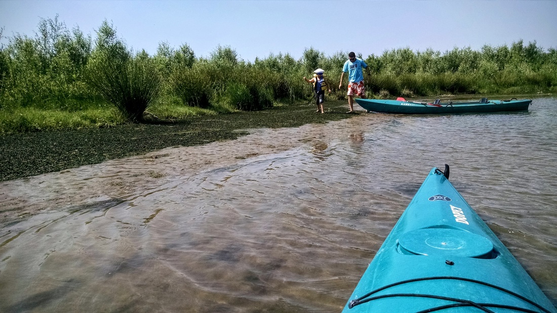
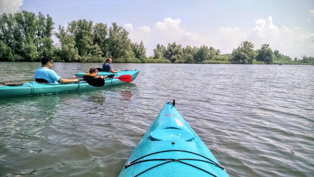
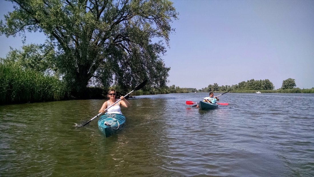
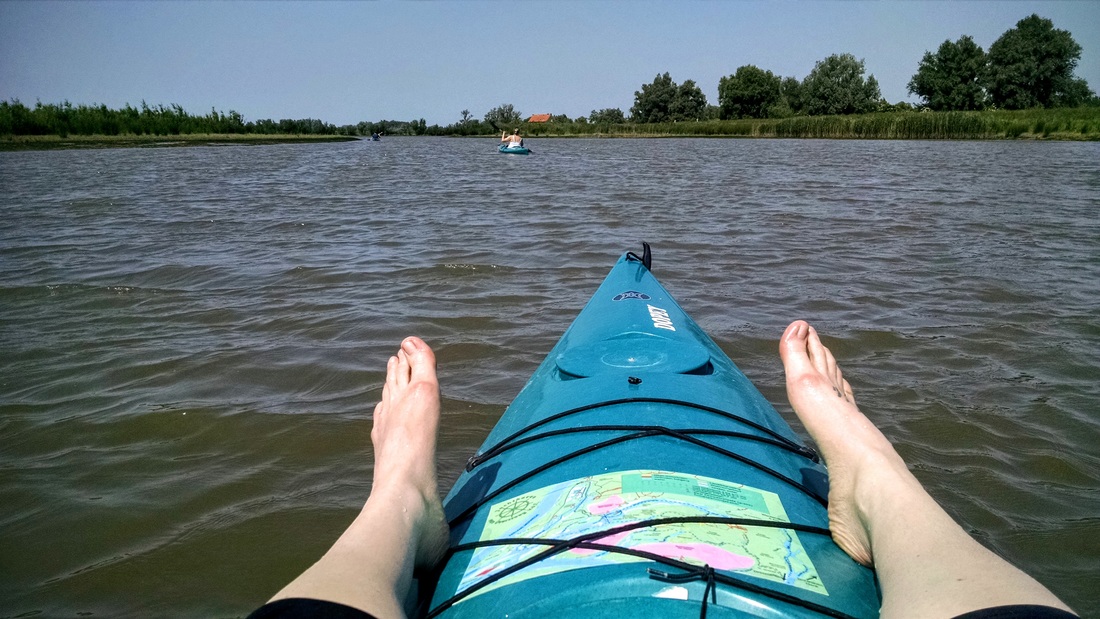
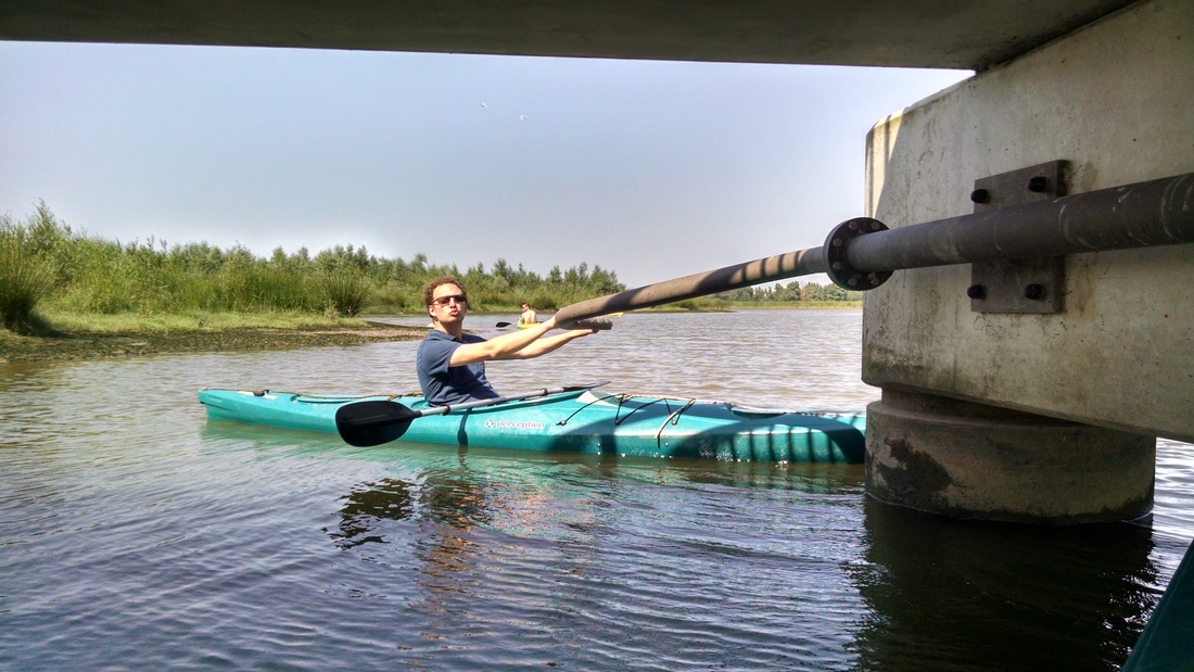
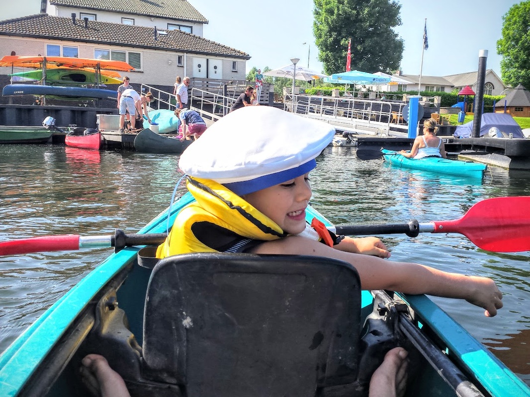
There were many boaters out and about this sunny Sunday, so we stuck to the side of the channel and braced whenever motorboats threw some waves our way. We crowned 6-year-old Jovan with a Marines hat from HJ's last Halloween costume, and he wore it with pride (see photos at the bottom of this post). 5 minutes later he confidently asked if he could keep it, to which HJ replied "Yes, but you must be wearing it every time I see you." The loop took us under a few bridges and over some shallow mudflat areas, where we got out and dragged the boats (much to Jovan's amusement). We paused to inspect a giant bloated dead fish stranded on the mudflat.
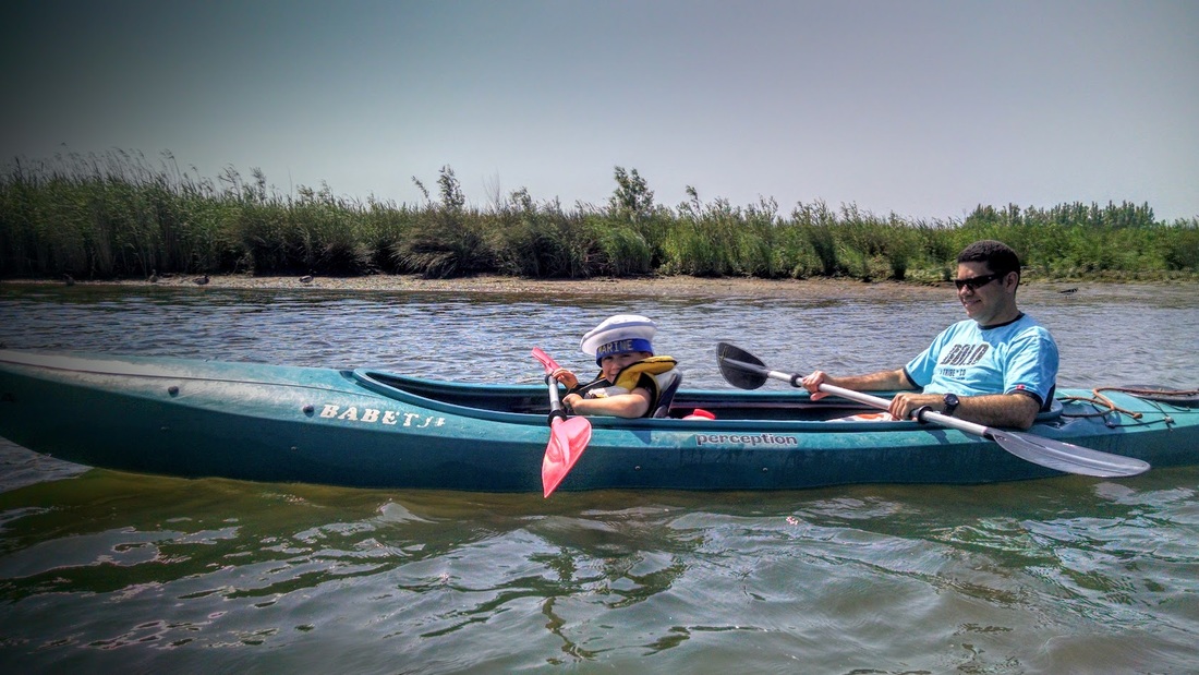
Jovan sporting his new Marines hat.
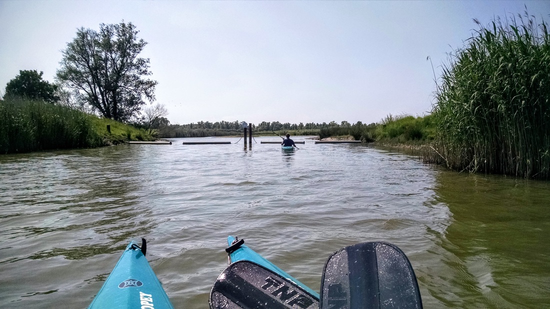
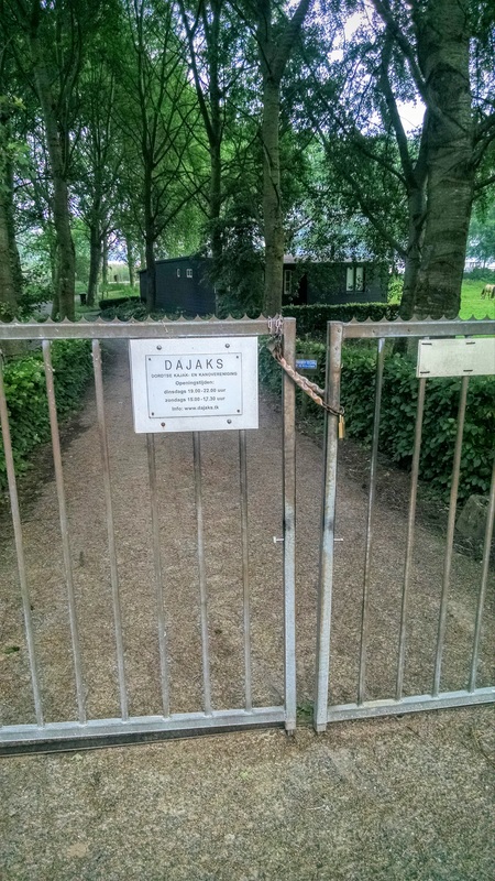
Gates allowing only canoes and kayaks into the restored Jantjesplaat.
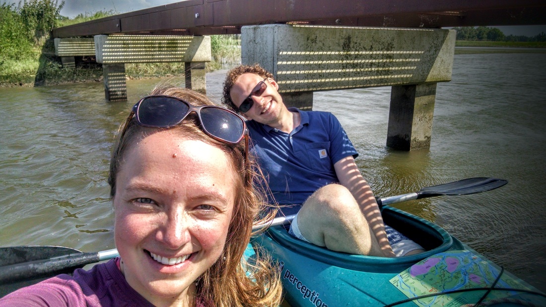
Sunny selfie.
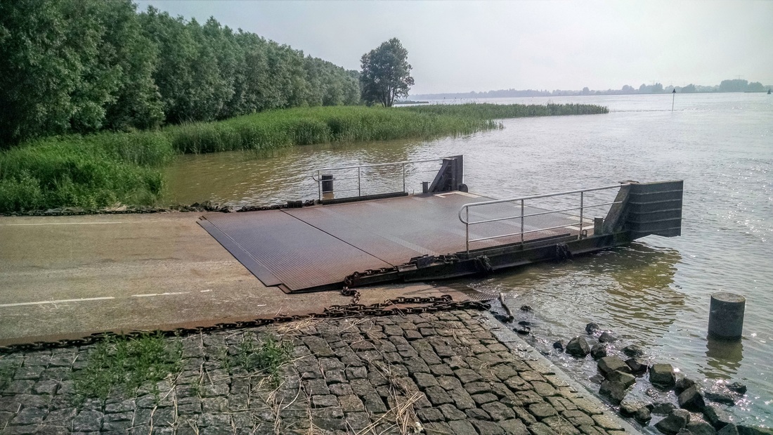
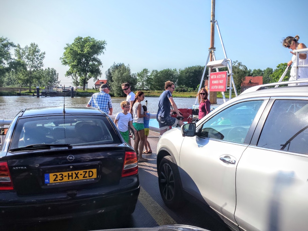
After the paddle, we treated ourselves to some drinks and ice cream at the water-side tables of Jachthaven Oversteeg. Later, as we stood by the river waiting for the ferry, we made bets about how wide the crossing was. Carlos said "200 m," and Henk more or less agreed. I said "at least 500m - as a kayaker I know that the other side is much farther away than you think." Guess who was right? A perfectly straight line across the river is 550m.
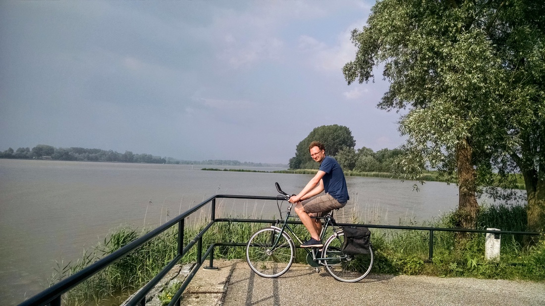
On the bike ride home, HJ and I passed Dajak (Dordtse kajak- en kanovereniging, i.e. Dordrecht kayak club). They are perfectly located on the river, just across the Nieuwe Meerwede river from the Biesbosch. Note to self: if I ever move to Dordrecht, join this kayak club!
On the bike ride home, HJ and I passed Dajak (Dordtse kajak- en kanovereniging, i.e. Dordrecht kayak club). They are perfectly located on the river, just across the Nieuwe Meerwede river from the Biesbosch. Note to self: if I ever move to Dordrecht, join this kayak club!
Water nerding - kayaking through a restored wetland (Polder Jantjesplaat)
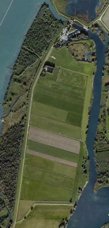
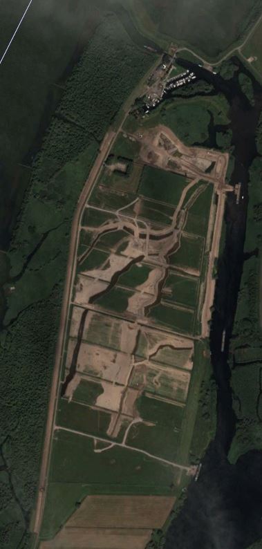
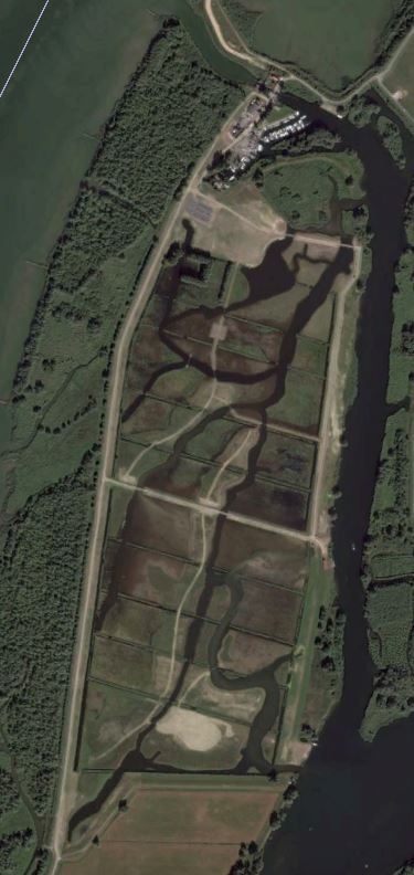
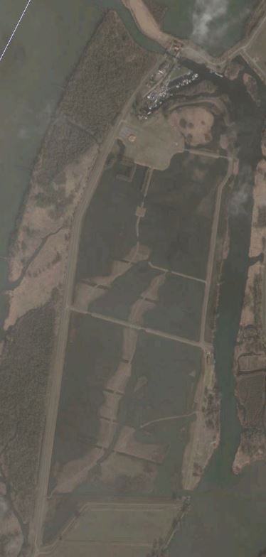
In my previous post about the Biesbosch, I wrote a bit about its history. Today I'll focus on the history of the Polder Jantjesplaat - the little piece of wetland we kayaked through on Sunday. This is the most recently restored wetland in the Biesbosch. It was restored as part of the larger Room for the River flood management project in the Netherlands. Until 2013 it was still diked and drained agricultural land (see first photo below).
Funny story: During these types of restoration projects it's common to keep water out of the project area until excavation of channels, slope grading, and planting is complete. This makes it much easier for construction equipment to navigate the area, and therefore faster and less expensive construction. Then, when the project is complete, a dike is breached in a controlled way and the area is inundated with water, beginning a long, slow restoration process. This project was no exception to this approach. However, according to this old news article, on the night of December 30, 2012, a dike broke on the southeast side of the polder, causing the entire project area to flood earlier than planned, oops! It's not clear what caused the dike to break (I couldn't find reports of a big storm on/around that date). The project was nearing completion, but there were still some final steps planned. "As usual, there were some who profited from the new situation," laughed park ranger Albert Rook, "The geese, swans, and ducks all think it's great." The sand removed as part of the restoration excavation is being used to raise land in other places for development.
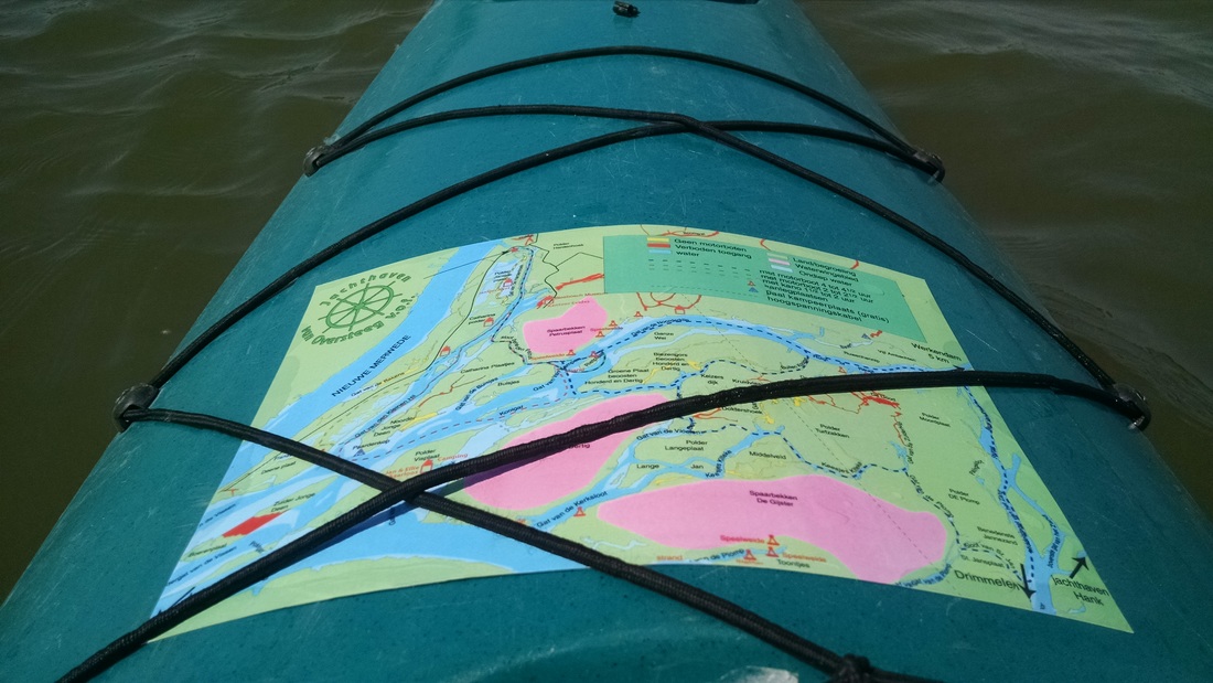
This map shows Polder Jantjesplaat before restoration - agricultural fields with linear drainage channels: http://np-debiesbosch.nl/wp-content/uploads/2015/09/Brug_Deeneplaat_legenda.pdf
This map shows Polder Jantjesplaat in its restored condition, with tidal channels and wetlands: http://www.biesboschmuseumeiland.nl/downloads/wandelkaartje2013.pdf
Funny story: During these types of restoration projects it's common to keep water out of the project area until excavation of channels, slope grading, and planting is complete. This makes it much easier for construction equipment to navigate the area, and therefore faster and less expensive construction. Then, when the project is complete, a dike is breached in a controlled way and the area is inundated with water, beginning a long, slow restoration process. This project was no exception to this approach. However, according to this old news article, on the night of December 30, 2012, a dike broke on the southeast side of the polder, causing the entire project area to flood earlier than planned, oops! It's not clear what caused the dike to break (I couldn't find reports of a big storm on/around that date). The project was nearing completion, but there were still some final steps planned. "As usual, there were some who profited from the new situation," laughed park ranger Albert Rook, "The geese, swans, and ducks all think it's great." The sand removed as part of the restoration excavation is being used to raise land in other places for development.
This map shows Polder Jantjesplaat before restoration - agricultural fields with linear drainage channels: http://np-debiesbosch.nl/wp-content/uploads/2015/09/Brug_Deeneplaat_legenda.pdf
This map shows Polder Jantjesplaat in its restored condition, with tidal channels and wetlands: http://www.biesboschmuseumeiland.nl/downloads/wandelkaartje2013.pdf
Restoration of Polder Jantjesplaat: A Timeline in Aerial Images
Click the images below to enlarge and see a slide show of how the Jantjesplaat looked before, during, and after restoration. Source of aerial images: Google Earth.
More pictures from the kayaking trip... click to enlarge!


Date: Sunday, June 5th, 2015
Duration: 1.5 hrs
Distance: 4.2 km (2.6 miles)
Weather: Hot and sunny!!
Duration: 1.5 hrs
Distance: 4.2 km (2.6 miles)
Weather: Hot and sunny!!
What's funny is that when I first made the route map, below, the aerial image that Google was providing was from 2005, when Jantjesplaat was still agricultural land. That sure made it hard to guess where we paddled. Randomly, a day later, Google had updated its basemap to reflect the 2015 photo, so I was able to correct the route.
 RSS Feed

