The Oosterscheldekering
Water nerd alert! No kayaking in this post.
One year after the deadly floods of 1953, which killed over 1,800 people, the Dutch began construction on the Delta Works - the largest flood protection system ever constructed. The "Delta Works" generally refers to 13 storm surge barriers (stormvloedkeringen) and dams (dammen) constructed between 1954 and 1997.
In a previous post, I described the Maeslantkering, which was the final barrier completed. Yesterday, Henk Jan and I went on a roadtrip through the provinces of South Holland and Zeeland to visit 3 more structures: Haringvlietsluizen, Brouwersdam, and the Oosterscheldekering. Read on...
There's a really nice website that describes each of these structures, but it's in Dutch, so here are some quick factoids and photos of each of the spots we visited. We also drove over the Veerse Gatdam, but I must not have been paying attention... In total, we drove ~ 3 hours, taking the same route to Middelburg and back.
Haringvlietsluizen
Dates constructed: 1956 - 1970
Length: 1 km (lock portion), 4.5 km (dam portion)
Literal translation = herring creek locks
Other name = Kraan van Europa (Faucet of Europe)
Haringvlietsluizen is a series of locks that constantly manage water levels between Stellendam and Dordrecht. Water levels are controlled in such a way as to permit passage of water from 3 major rivers and maintain a certain depth for shipping while preventing flooding from storm flooding. Because these gates mostly block Haringvliet off from the ocean, the water now has very low salinity and virtually no tides. This had had quite a damaging effect on the ecosystem behind the dam - preventing fish passage, causing wetlands and mudflats to disappear, and causing many other detrimental effects.
The Haringvlietsluizen are off in the distance in the right of the photo. It was a sunny but hazy day, so instead, I give you a photo of the birdwatchers that were sitting on the end of a massive breakwater along the outer harbor.
Brouwersdam
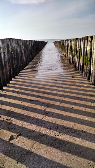
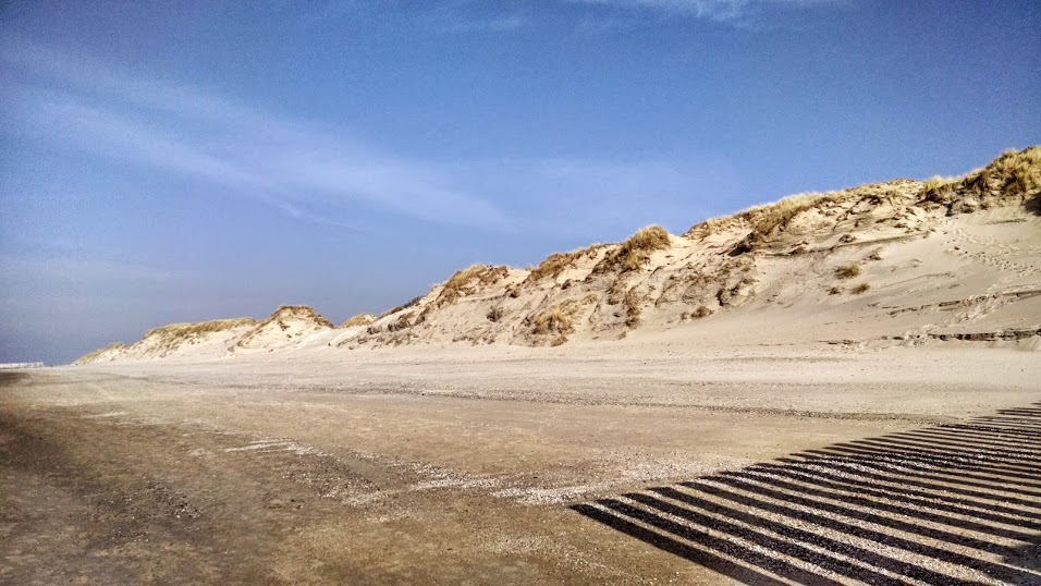
| Dates constructed: 1962 - 1971 Length: 6.5 km Literal translation = brewer's dam Brouwersdam is simply a dam closing off the former Grevelingen Estuary. This was the second largest project, after the Oosterscheldekering. This inlet was very deep (30 m in some places), and was entirely filled using caissons and concrete blocks. The dam entirely blocked the estuary from salt water and tides - little remains of the ecosystem that existed before. In 1981, a sluice was built that permits some passage of saltwater, fish, and marine mammals. On the open coast side of the dam lies a man-made beach, which had quite a few visitors on this sunny day: | 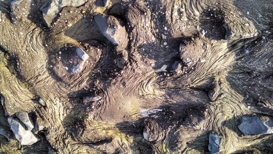 The front of the dam, which comes into contact with waves, was created from this odd mix of rocks and what looked like asphalt. I've never seen anything like it. Reminded us of lava. |
The beach in front of Brouwersdam.
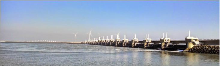
Oosterscheldekering
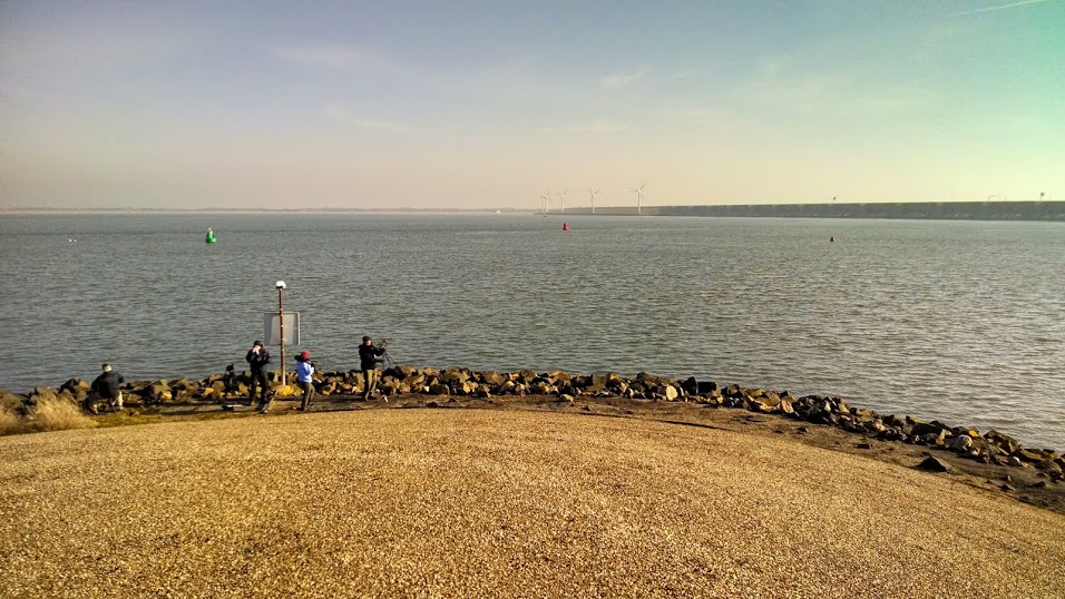
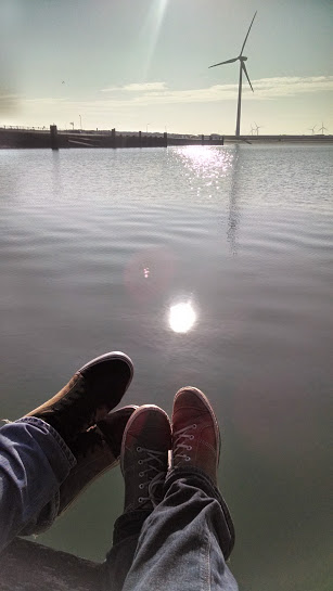
| Dates constructed: 1976 - 1986 Length: 3 km (lock portion), 6 (dam portion) Literal translation = Eastern Scheldt storm surge barrier The Oosterscheldekering is by far the most famous of the Delta Works. The original plan was to build another dam across the Eastern Scheldt. However, by 1976, the environmental impacts of the other dams were rapidly becoming clear, and opposition to another such dam was strong. The dam was redesigned to contain 3 (out of 9) km of gates which would stay open except during exceptional storm water levels. It was the first barrier to have large-scale control by computers. Today, the barrier closes once per year, on average. The last time it closed was on October 21st, 2014. In the middle of the barrier lies an artificial island, Neeltje Jans, that was built on top of a historic tidal flat as a construction staging area. Today it's been converted to a waterpark/nature area. | 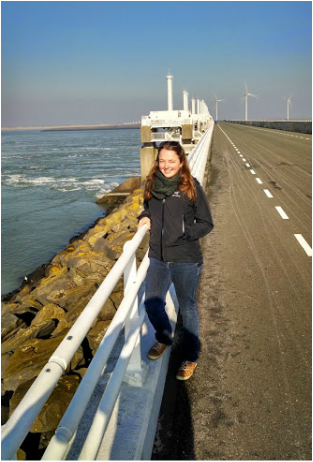 Happy nerd alert |
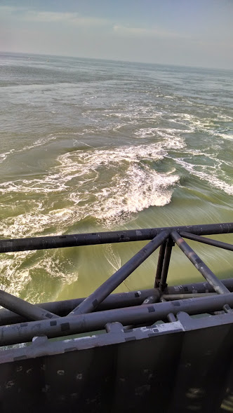 We were there during ebb tide, so water was flowing rapidly out to the North Sea through the gates. | 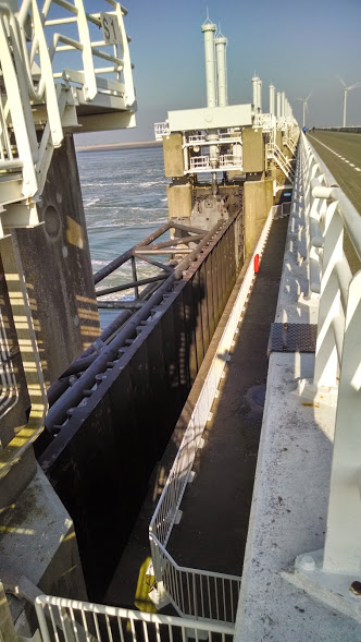 Up close and personal | 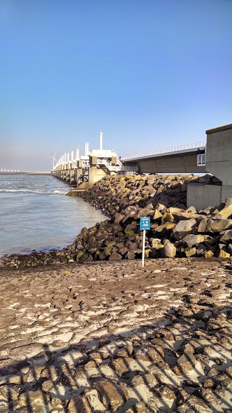 View from the North Sea side |
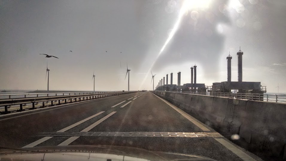
The Oosterscheldekering from the road.
A hike through the dunes and a visit to Middelburg
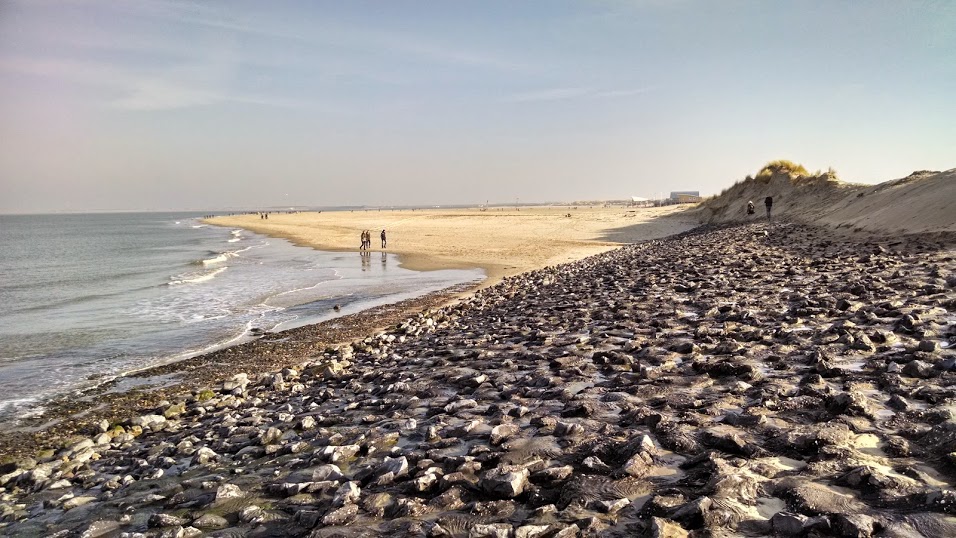
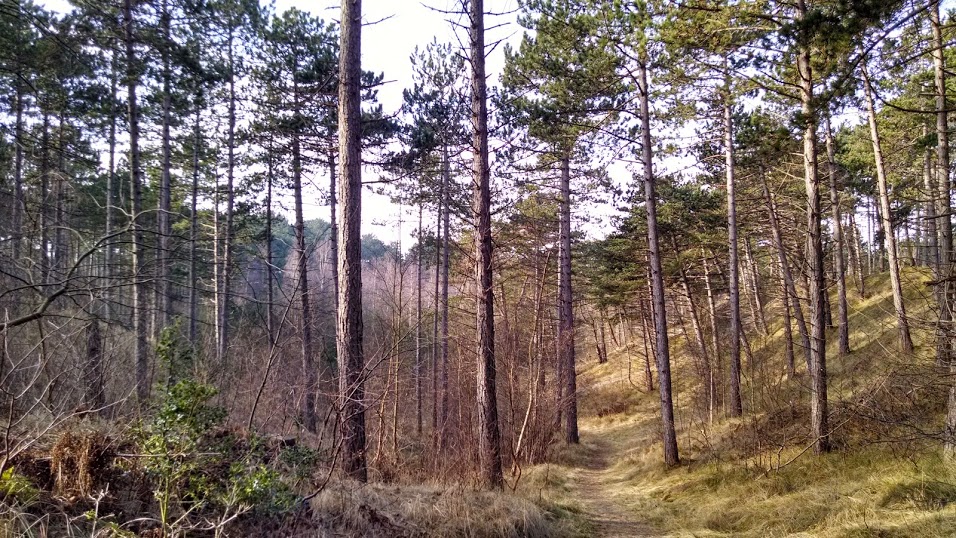
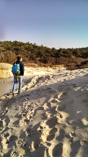
Before you reach the Oosterscheldekering from the north along highway N57, you pass a town called Westenschouwen. Here lies a beautiful nature park - Boswachterij Westerschouwen - filled with dunes and beaches facing the North Sea. We went for a ~2 hour hike through the woods (which are an unusual sight in this part of the Netherlands) and dune fields. It's also a popular spot for mountain bikers and horseback riders. I have to say, this was the most naturey spot I've had the chance to visit so far in the Netherlands, and it was wonderful! See photos below.
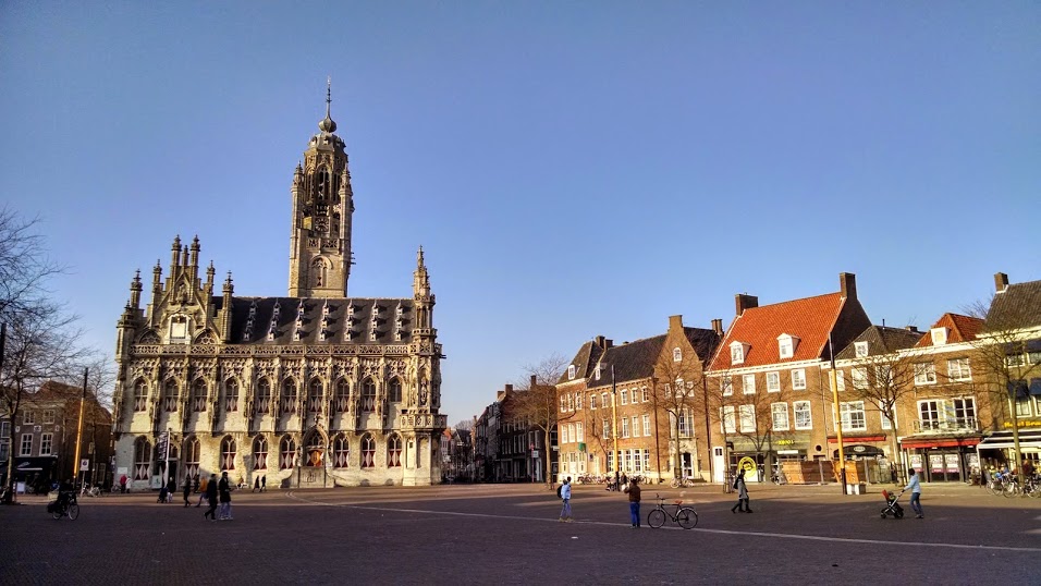
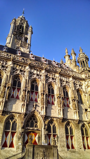
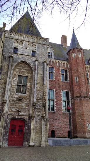
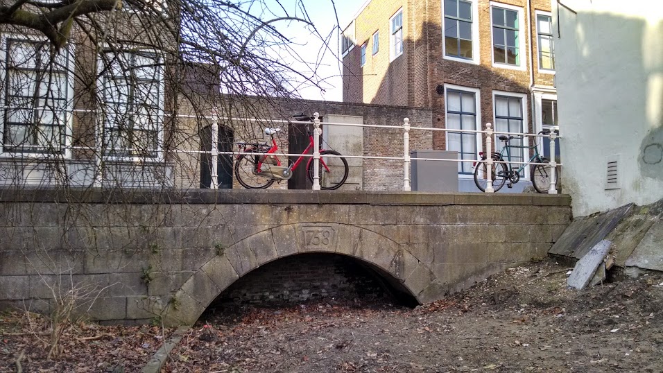
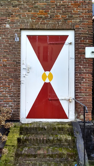
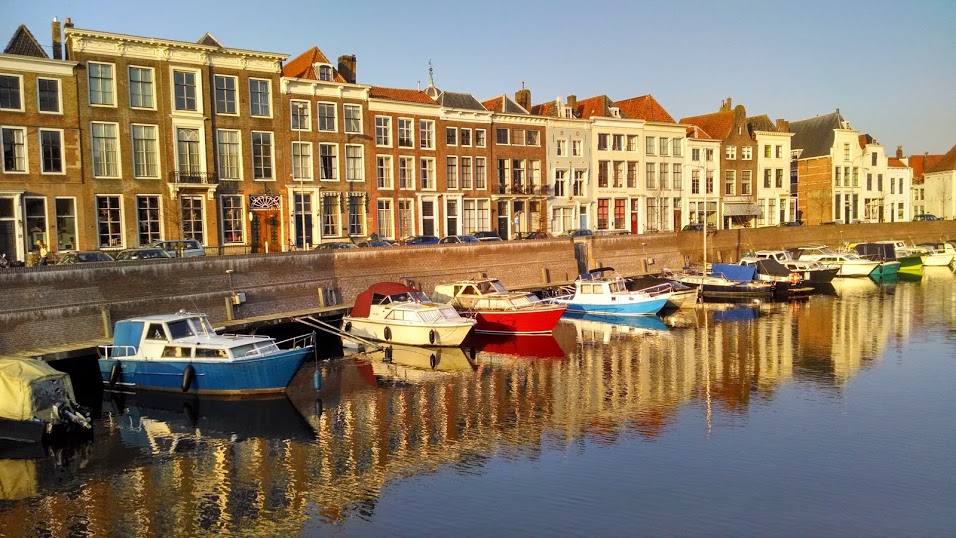
Beyond the Oosterscheldekering lies a city called Middelburg, which dates back to the late 8th century. It's a fortified city (built in the typical star-shape - you can see if you zoom in on the map below) that was built to protect from Viking raids. The city has a long history. It was a long-time center for trade, including the slave trade in the 17th century, and it was bombed during the beginning of WW2. It's a beautiful city, so I've shared some photos in the album below (click to enlarge). Enjoy!
Beyond the Oosterscheldekering lies a city called Middelburg, which dates back to the late 8th century. It's a fortified city (built in the typical star-shape - you can see if you zoom in on the map below) that was built to protect from Viking raids. The city has a long history. It was a long-time center for trade, including the slave trade in the 17th century, and it was bombed during the beginning of WW2. It's a beautiful city, so I've shared some photos in the album below (click to enlarge). Enjoy!

 RSS Feed

