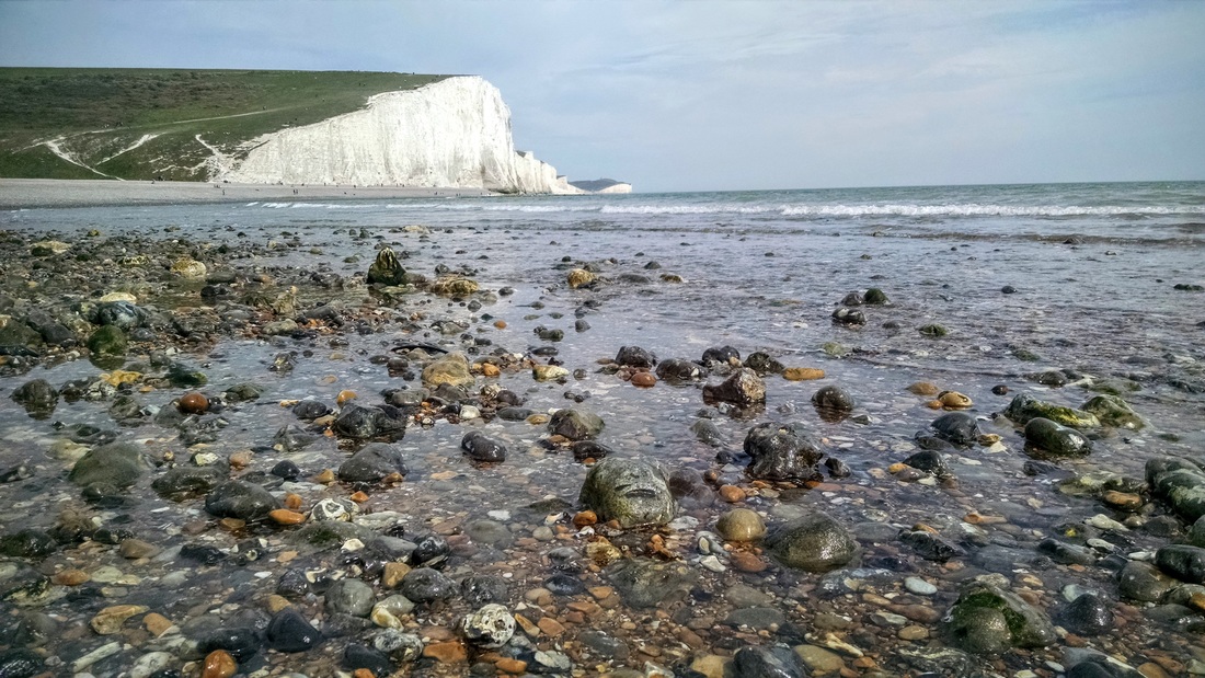
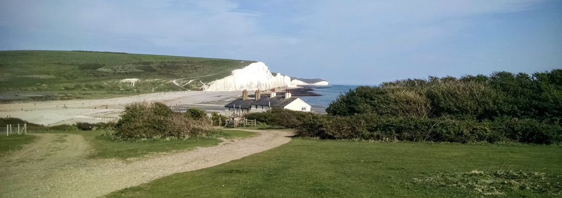
View of the Seven Sisters from Seaford Head, UK.
It's been a while since the Water Nerd (and the Naked Kayaker, for that matter) has made an appearance on this blog. But have no fear - a quick analysis of the blog data shows that there's always a huge spike in posting frequency starting in May, continuing through August. Let's hope that's the case again this year - we have some new kayaking destinations coming up soon!
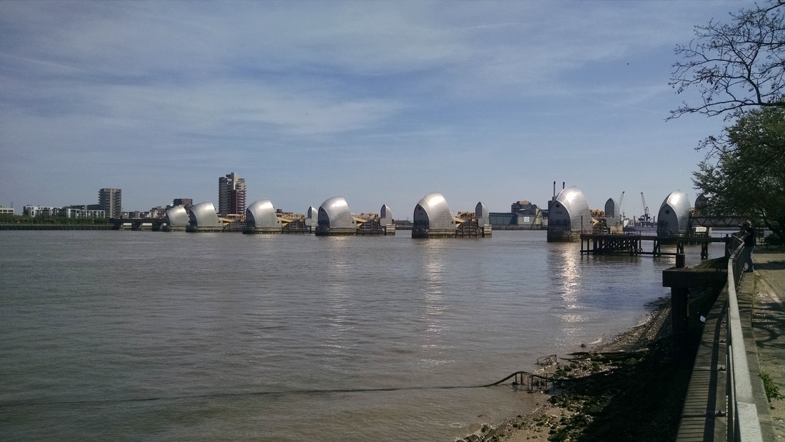
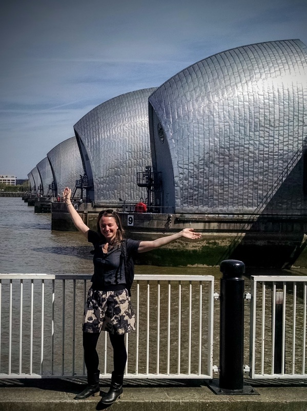
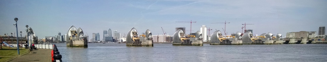
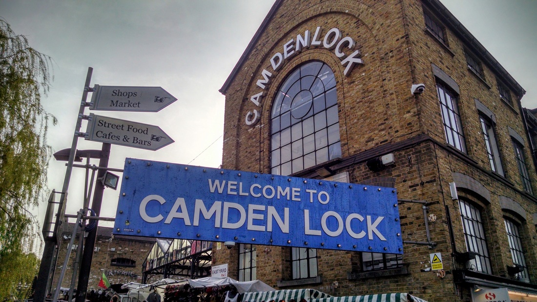
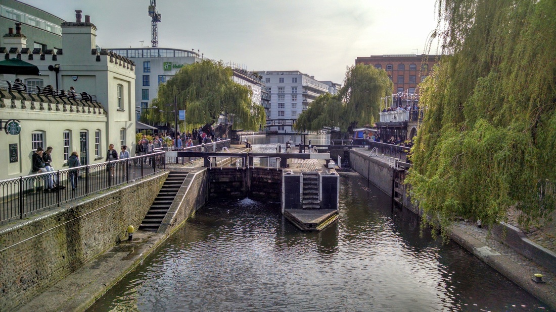
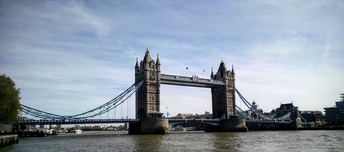
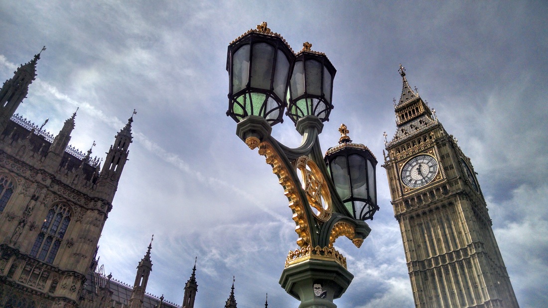
This weekend the Water Nerd and her partner-in-crime, HJ, took a long-weekend trip to the UK (thanks Belgian Catholic holidays!). They visited the Thames Barrier in London (huge moveable flood barrier) and hiked the gorgeous Seven Sisters cliffs of Sussex...
This weekend the Water Nerd and her partner-in-crime, HJ, took a long-weekend trip to the UK (thanks Belgian Catholic holidays!). They visited the Thames Barrier in London (huge moveable flood barrier) and hiked the gorgeous Seven Sisters cliffs of Sussex...
Thames Barrier
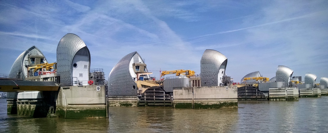
Our first stop was the Thames Barrier, just downstream of central London. It's the second largest moveable flood barrier in the world, after the Oosterscheldekering in the Netherlands. It's main purpose is to protect London from flooding caused by extreme high tides and storm surges. Construction of the barrier was triggered by the devastating floods of 1953 and was completed in 1982.
Fun Facts about the Thames Barrier:
The video below explains how the gates work in more detail, with some cool time lapse videos and animations!
Fun Facts about the Thames Barrier:
- The barrier consists of 10 gates - 6 that sit on the bed of the river, rotating up when in use but allowing ships to pass over them when not in use, and 4 that sit above the river and rotate down when needed to block a storm surge.
- The location was chosen for its stable river bed - allowing a massive concrete foundation to be laid.
- The gates are tested every couple months - unfortunately we missed a testing by 3 days!
- The gates close from the outside of the river towards the middle of the river, in sequence.
- It normally takes 90 minutes to close the gates. In an emergency, all gates close at once over a 15 minute period. But closing so quickly could send a rebound wave back down the river.
- If it looks like water will overtop the gates, they can be raised to allow some water to pass under them (but this has never been needed).
- Today, the barrier closes on average 5x per year (176 closures as of February 2016), but in the future, with rising sea levels, this could increase to 30 or more times per year.
- The barrier has survived 15 boat collisions!
- The barrier was originally designed to protect London through 2030, and will now be used through at least 2070.
The video below explains how the gates work in more detail, with some cool time lapse videos and animations!
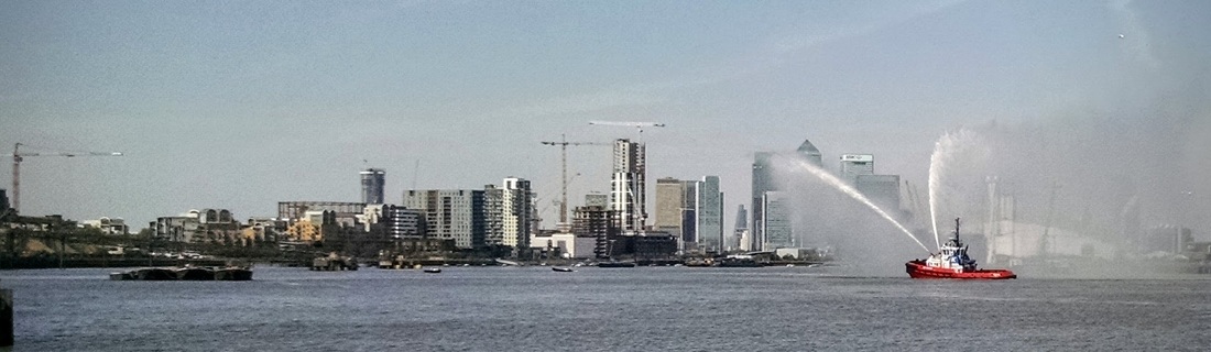
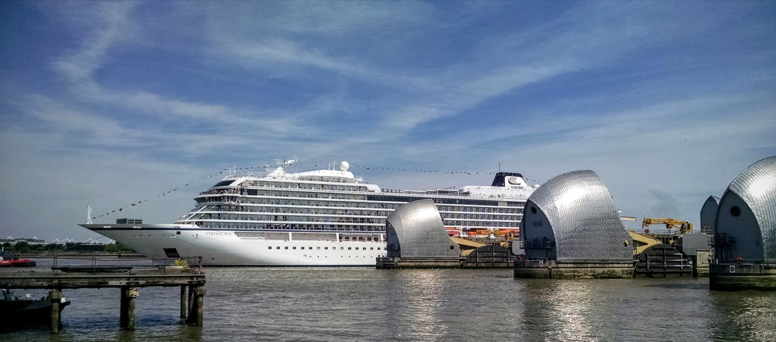
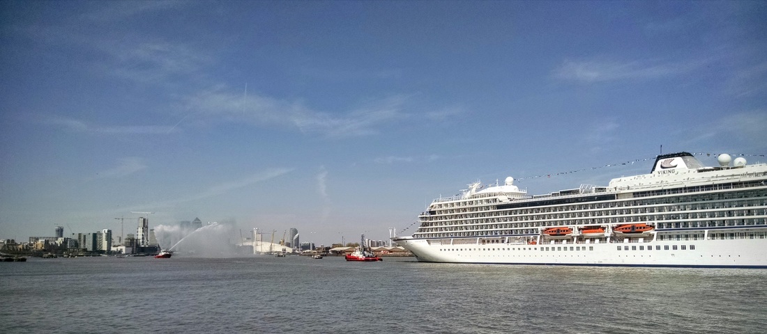
We were walking away when, on a whim, we decided to ask a group of photographers what they were waiting for. Apparently the Viking Sea, the largest ship to ever be christened on the Thames River, was due to arrive at any minute! For those of you that are not ship gurus, I read that a ship christening involves breaking a bottle of champagne on the bow of a new boat and giving it its name - to bring good luck. Three tugboats were involved in guiding the ship into London: one on the bow, one on the stern, and one leading the way with a water salute. This involves spinning the tugboat in circles why spraying canons of water high into the air (see photo below). This is usually done during the first and last cruise of a ship, and other ceremonial occasions.

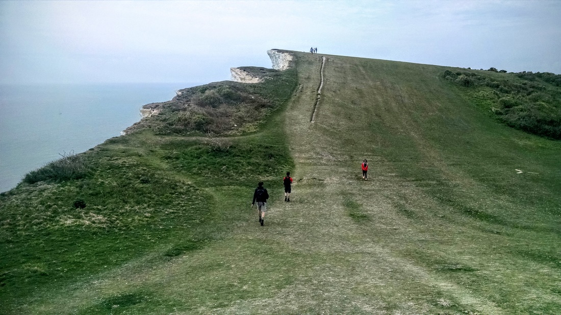
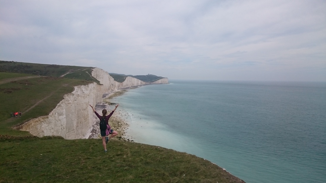
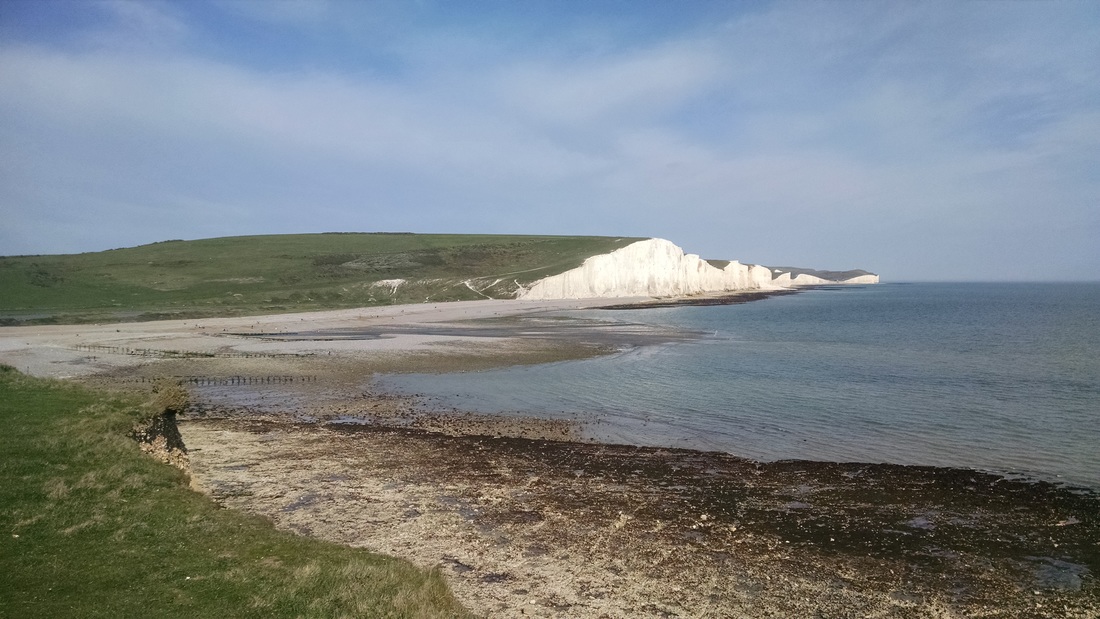
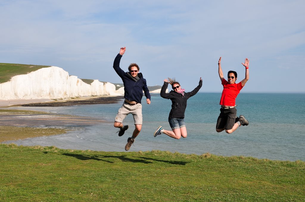
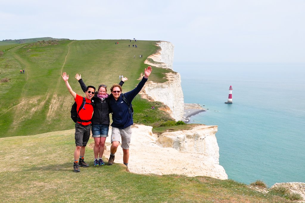
Seven Sisters
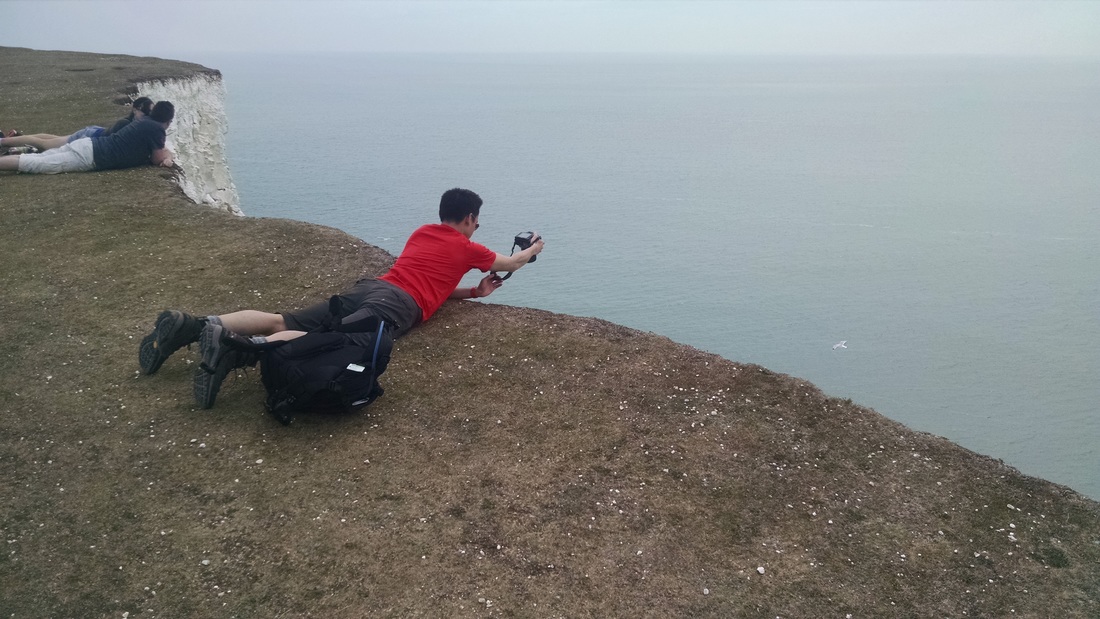
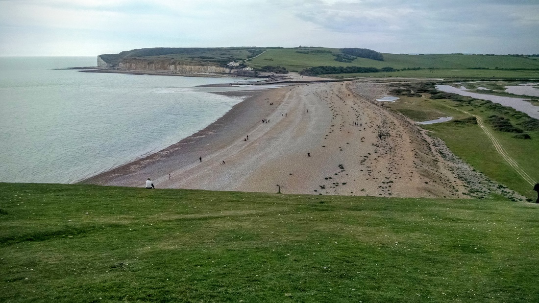
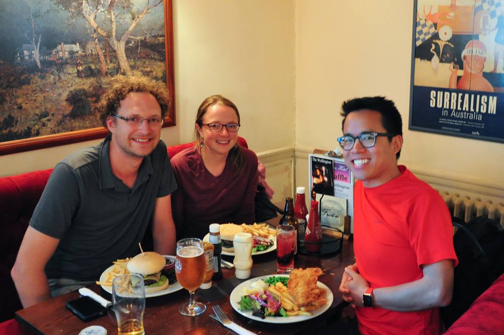
But the Water Nerding didn't end there! After a couple days of wandering (okay, power walking) around London, we joined forces with Joël (1) and embarked on a trip to the Sussex Coast. We stayed at a lovely Airbnb in Eastbourne, from which we took a long day hike along the Seven Sisters. The hike is so-named because the coast is characterized by 7 high cliffs, interspersed by lower cliffs. The cliffs are blindingly white, consisting primarily of chalk. They formed about 85 million years ago, when sea levels were 200m higher than they are today. Skeletal remains of algae settled to the then-ocean floor, creating a white ooze that gradually compacted to form a soft chalk. Erosion has exposed and shaped the chalk into the steep present-day cliffs.
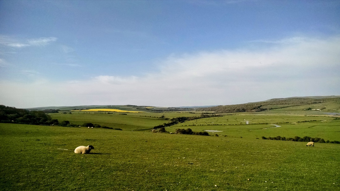
We had fantastic luck during our 4-day trip, with sunny 24 degree (C!) days, even getting a bit sunburned during the hike. Apparently this is virtually unheard of here in the UK, but it sure has left a good impression! The 25 km hike took us about 6 hours (include lots of snack/view breaks). Scroll down for a map of the route.
(1) Kayaking friend from the Bay Area who now works in London, also as a water nerd. He's currently responsible for (risk) management on a big project to clean the water pipelines of London, one kilometer at a time. This involves shoving huge volumes ground-up ice (i.e. slushies) into the pipes and sucking it out a further down the pipe. The ice scrapes the gunk off the walls, without adding any contaminants to the system. How creative! I always thought cleaning pipes involved something much more manual, like brushes. There's even a person whose entire business is based on providing massive amounts of ice for this purpose. If you don't think this is super cool, then you probably shouldn't be reading this blog.


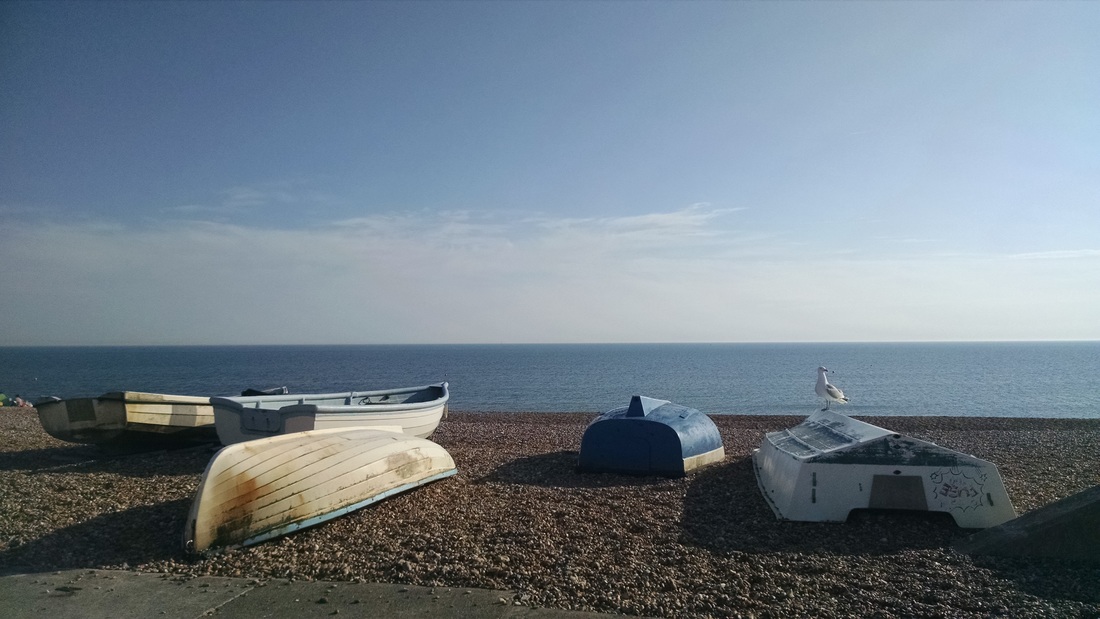

More of the Sussex Coast
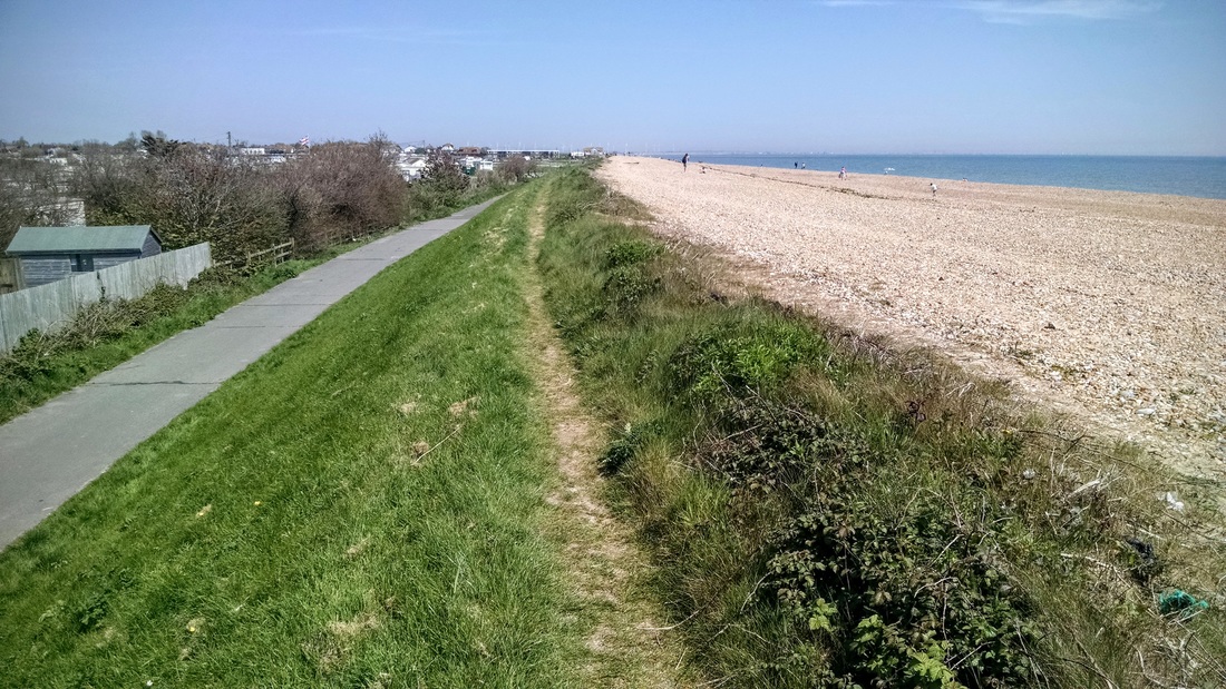
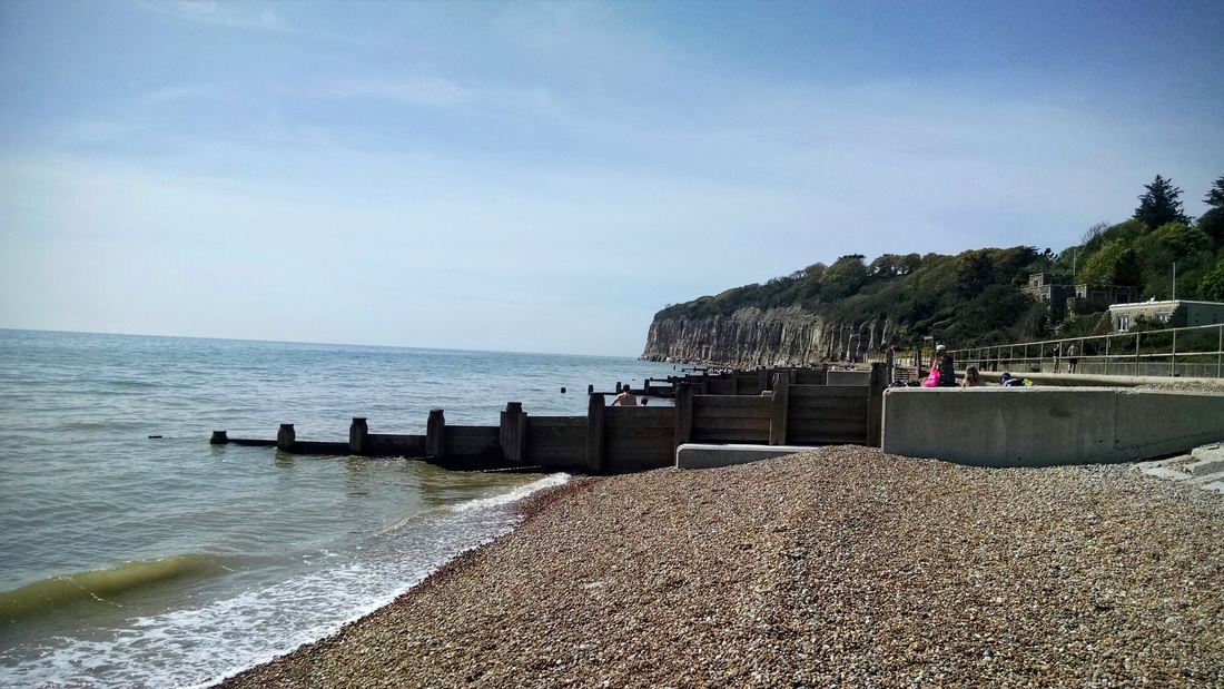
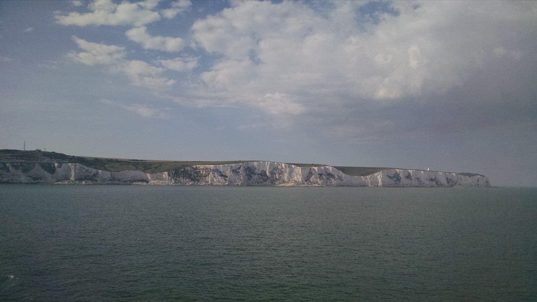
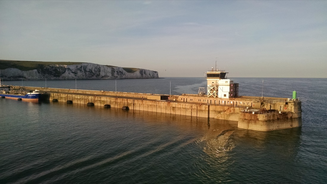
We made a few more stops along our drive towards the Dover Ferry Terminal (where we caught the boat back to Calais, France). In Pett Level we stopped to visit the beach, where a major coastal protection project was recently completed for 10M £. Wooden groins line the entire beach, and must be nourished frequently (with a mix of sand and shale) to prevent erosion. The mobile homes behind the beach appear to be around sea level. We also had a quick look at the White Cliffs of Dover, which are easily visible from the ferry terminal.


 RSS Feed

