|
Nena and Bailey kayak in possibly the most beautiful place on earth and almost get run over by a cruise ship.
1 Comment
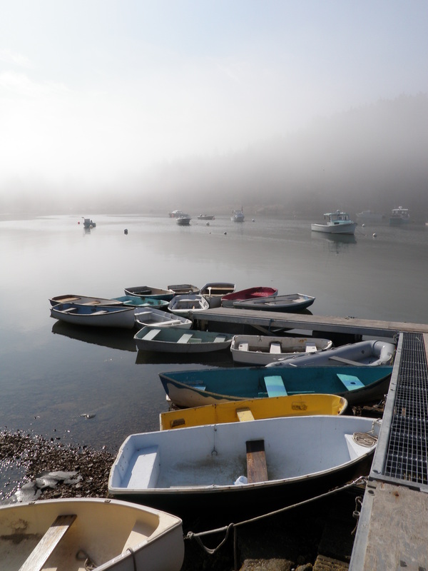
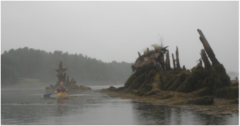
Just a quick post for the second paddle Ben and I did in Mt. Desert Island a couple weekends ago! We paddled north from Southwest Harbor into Somes Sound, riding the tide on the way in, and paddling a little bit against it on the way back. We stopped for lunch in Sargent Cove on the east side of the sound. On the way back, a thick fog seemed to be rolling in from the ocean, so rather than paddling around the island at the end of the sound, we headed back into the harbor. Click "Read More" to see a map of the route.
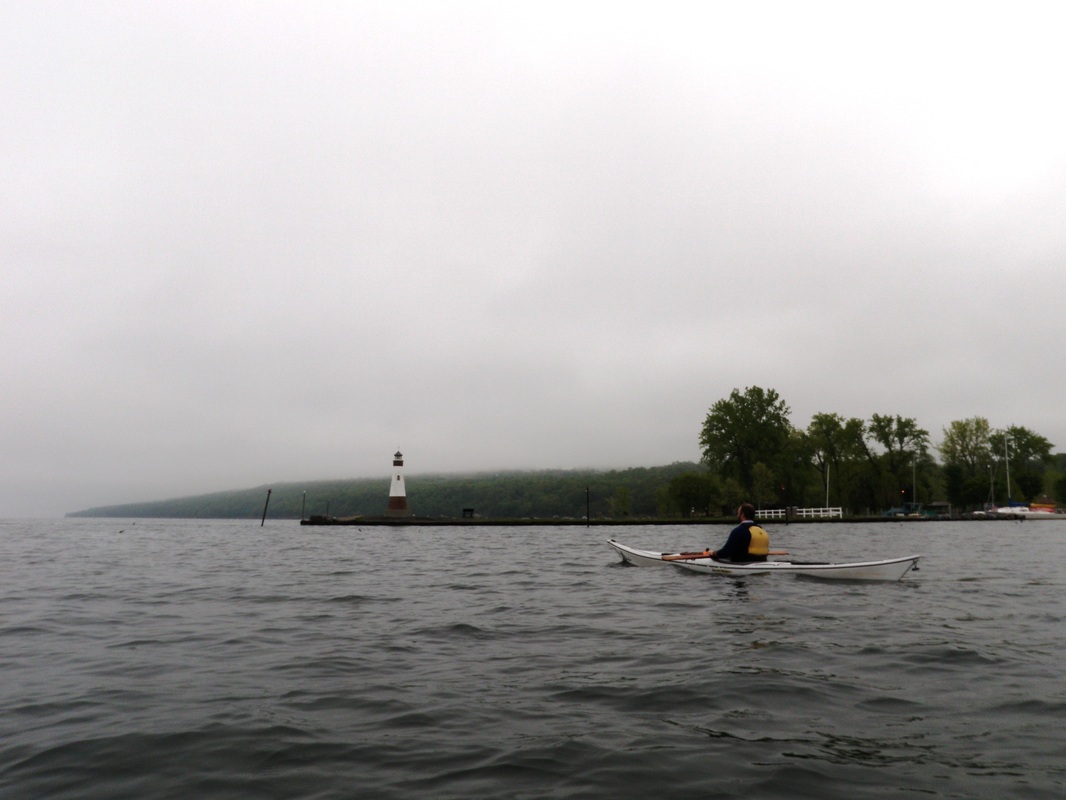
One morning Ben and I decided to make the voyage (is that the aqueous version of ‘trek’?) to Taughannock Park, starting at East Shore Park. We were on the foggy water by about 7:30AM.
Yep, that’s right… I'm super lame and went kayaking on Slope Day instead of seeing… Drake? Who is that? Slope day is Cornell University's annual end of year party, in which a committee of students chooses a band/singer/rapper (mostly the latter) to play a concert on the steep grassy slope connecting West Campus to the rest of the university.
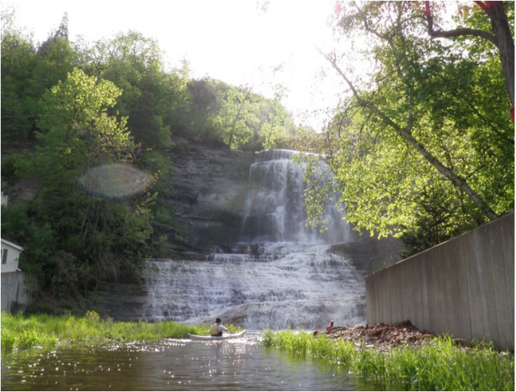
We (Ben, Rob, Anna, and I) met at the southern tip of Seneca Lake and launched from Lakeside Park in Watkins Glen around 7:30AM. This means my alarm was set for 5:30AM… it was painful. We decided (by “we” I mean Anna, because she is the official decision maker) that since the lake was glassy-calm we would first paddle out in the open and think about exploring the inlet later. So off we went! |
Welcome!This is a blog about exploring the outdoors (mostly by kayak), traveling, trip planning, and coastal engineering. It currently focuses on kayaking in the Netherlands and Belgium, but previous posts cover Upstate New York, California, and much more. See the Complete List of Blog Posts for a history of the site. Looking for something specific? Search the site here.
In addition to the blog, check out the Water Nerd section, where I write about coastal engineering and hydrology. Happy Paddling! Nena Subscribe Here!Email updates on new blog posts, about once per month.
Reader TipsClick the "Read More" link at the bottom of each summary for more photos, to see an interactive map of the route, and to read about the adventure.
Maps in each blog post: Click the icons to learn more about the launch site (amenities) and destinations. Click the square in the bottom-left corner to see an aerial photo behind the route. Archives
December 2020
Categories
All
Click the RSS Feed link, copy the URL, and paste it into your favorite feed reader.
|
 RSS Feed

